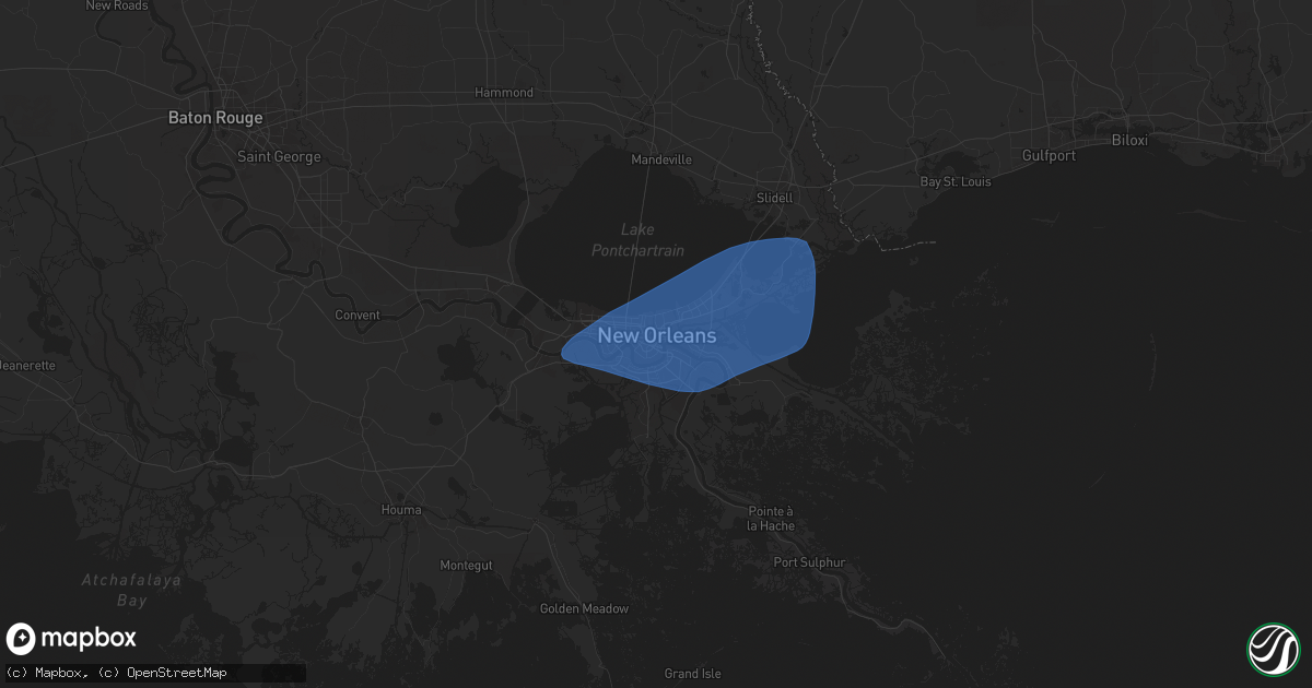
Hail Map in New Orleans, LA on May 7, 2025
Get this storm
May 7 map
$229
one time, instant access
Download today. No call, no setup
Keep the $229
Bought the map and want the full workflow? Apply the entire $229 to a subscription within 7 days. None of it is wasted.
Every map, not just this one
This buys you this map. Subscription and you get every map we run, in the markets you choose from a few cities to whole states to nationwide. Plus real-time alerts the moment a storm fires.
Contact data
Name, contact info, occupancy, even credit band for addresses in the footprint. You go from where it hit to who to call.
Become the source they trust
Unlimited branding weather history reports on demand. You already have the documented answer ready for the property owner, and you are the one who showed up with it.
Property data and RoofTrace estimates
Pull up any address you have got, its value and the exact code rules for that jurisdiction, straight from One Click Code. Then RoofTrace estimates the squares, pitch, and roof value, priced the way you price.
Storm reports in New Orleans, LA
New Orleans, LA
| Date | Description |
|---|---|
| 05/07/202510:39 AM CDT | Broadcast media reports large tree fallen on st ferdinand st behind george washington carver high school. |
| 05/07/20259:36 AM CDT | Asos station knew new orleans lakefront airport reports wind gust of 50 knots. |
| 05/07/20259:35 AM CDT | Thunderstorm winds knocked down a sign on the side of a commercial building along whitney avenue in terrytown. |
| 05/07/20259:30 AM CDT | Large portion of a tree was broken off by thunderstorm winds in the timbers in algiers. |
| 05/07/20259:30 AM CDT | Picture of tree snapped in walnut bend neighborhood in algiers. |
| 05/07/20259:25 AM CDT | A weatherflow tempest on ferret street... A few blocks north of st charles avenue... Measured a thunderstorm wind gust of 70 mph. |
| 05/07/20259:20 AM CDT | Broadcast media reports tree downed on rue michelle in algiers. Time estimated by radar. |
All Cities Impacted by Hail Map on May 7, 2025
- Patterson, LA
- Morgan City, LA
- Berwick, LA
- Marrero, LA
- Harvey, LA
- Gretna, LA
- Belle Chasse, LA
- Braithwaite, LA
- Violet, LA
- New Orleans, LA
- Arabi, LA
- Meraux, LA
- Chalmette, LA
- Westwego, LA
- Ama, LA
- Metairie, LA
- Kenner, LA
- Saint Rose, LA
- Slidell, LA
- Jacksonville, FL
- Atlantic Beach, FL
- Neptune Beach, FL
- Jacksonville Beach, FL
- Deland, FL
- Lake Helen, FL
- Flagler Beach, FL
- Palm Coast, FL
- Bunnell, FL
- Deltona, FL
- Ormond Beach, FL
- Beggs, OK
- Okmulgee, OK
- Morris, OK
- Keystone Heights, FL
- Florahome, FL
- Palatka, FL
- Winter Haven, FL
- Van Buren, AR
- Fort Smith, AR
- Arkoma, OK
- Roland, OK
- Muldrow, OK
- Alma, AR
- Lavaca, AR
- Barling, AR
- Rocksprings, TX
- Charleston, AR
- Paris, AR
- Scranton, AR
- Hartman, AR
- New Blaine, AR
- Subiaco, AR
- London, AR
- Knoxville, AR
- Russellville, AR
- Dover, AR
- Junction, TX
- Atkins, AR
- Pottsville, AR
- Hattieville, AR
- Solgohachia, AR
- Morrilton, AR
- Springfield, AR
- Plumerville, AR
- Greenbrier, AR
- Damascus, AR
- Quitman, AR
- Guy, AR
- Mount Vernon, AR
- Rose Bud, AR
- Romance, AR
- Enola, AR
- Rudy, AR
- Mulberry, AR
- Searcy, AR
- Lamar, AR
- Center Ridge, AR


