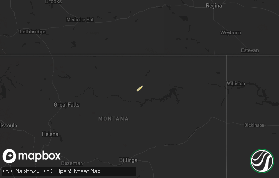
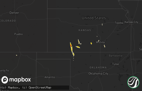
Hail Map in North Dakota on May 7, 2018
The weather event in North Dakota on May 7, 2018 includes Hail map. 10 states and 64 cities were impacted and suffered possible damage. The total estimated number of properties impacted is 317.

Hail
317
Estimated number of impacted properties by a 1.00" hail or larger0
Estimated number of impacted properties by a 1.75" hail or larger0
Estimated number of impacted properties by a 2.50" hail or largerStorm reports in North Dakota
North Dakota
| Date | Description |
|---|---|
| 05/07/20186:00 PM CDT | A local report indicates 1.00 inch wind near CARSON |
| 05/07/20181:29 AM CDT | At 629 PM CDT, a severe thunderstorm was located 8 miles northeast of Eureka, moving northeast at 25 mph. HAZARD...60 mph wind gusts and quarter size hail. SOURCE...Radar indicated. IMPACT...Hail damage to vehicles is expected. Expect wind damage to roofs, siding, and trees. This severe thunderstorm will remain over mainly rural areas of northwestern McPherson County. |
| 05/07/20181:10 AM CDT | At 609 PM CDT/509 PM MDT/, a severe thunderstorm was located 6 miles east of Carson, or 19 miles east of Elgin, moving east at 10 mph. HAZARD...Quarter size hail and wind gusts to 60 mph. SOURCE...Emergency management. IMPACT...Hail damage to vehicles is expected. Expect wind damage to roofs, siding, and trees. This severe thunderstorm will be near, Flasher around 550 PM MDT. Other locations impacted by this severe thunderstorm include Leith,Lark, St. Gertrude and Raleigh. |
All States Impacted by Hail Map on May 7, 2018
Cities Impacted by Hail Map on May 7, 2018
- Saint Francis, SD
- Kilgore, NE
- Valentine, NE
- Crookston, NE
- Custer, MT
- McLaughlin, SD
- Kaycee, WY
- Moorcroft, WY
- Jonesville, VA
- Johnstown, NE
- Hardin, MT
- Claremont, SD
- Belle Fourche, SD
- Aladdin, WY
- Beulah, WY
- Prairie City, SD
- Reva, SD
- Midland, SD
- Mission, SD
- Flasher, ND
- Carson, ND
- Eureka, SD
- Parmelee, SD
- Sundance, WY
- Upton, WY
- Worden, MT
- Kintyre, ND
- Bison, SD
- Decatur, AL
- Hartselle, AL
- Wood, SD
- Presho, SD
- Spearfish, SD
- Rushville, NE
- Forsyth, MT
- Closplint, KY
- Evarts, KY
- Wakpala, SD
- Devils Tower, WY
- Draper, SD
- Lemmon, SD
- Linton, ND
- Pikeville, KY
- Keldron, SD
- Blackwater, VA
- Duffield, VA
- Lodge Grass, MT
- Pompeys Pillar, MT
- Keokee, VA
- Elgin, ND
- Hebron, ND
- Mandan, ND
- Whitesburg, KY
- Rozet, WY
- Newland, NC
- Richardton, ND
- Strasburg, ND
- Kennebec, SD
- Kingsport, TN
- Hulett, WY
- Alva, WY
- Banner Elk, NC
- Bighorn, MT
- Gillette, WY


