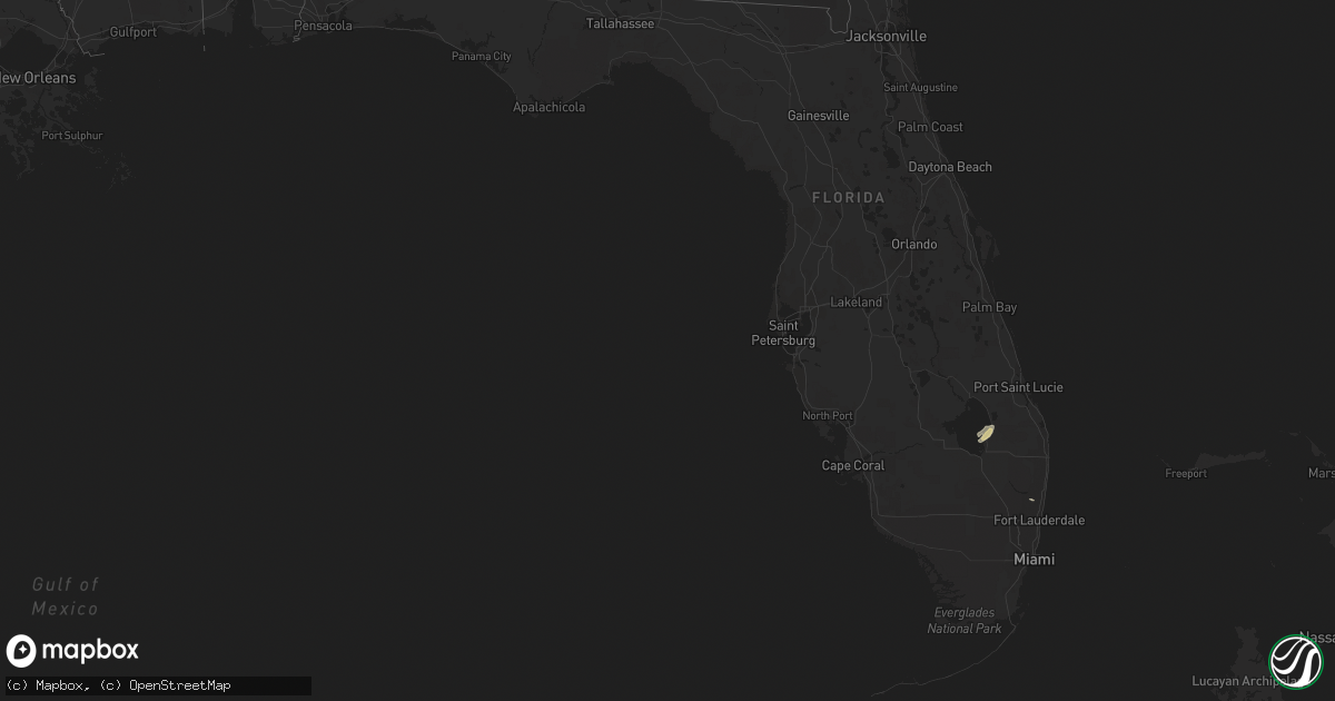
Hail Map in Florida on April 27, 2018
Get this storm
April 27 map
$229
one time, instant access
Download today. No call, no setup
Keep the $229
Bought the map and want the full workflow? Apply the entire $229 to a subscription within 7 days. None of it is wasted.
Every map, not just this one
This buys you this map. Subscription and you get every map we run, in the markets you choose from a few cities to whole states to nationwide. Plus real-time alerts the moment a storm fires.
Contact data
Name, contact info, occupancy, even credit band for addresses in the footprint. You go from where it hit to who to call.
Become the source they trust
Unlimited branding weather history reports on demand. You already have the documented answer ready for the property owner, and you are the one who showed up with it.
Property data and RoofTrace estimates
Pull up any address you have got, its value and the exact code rules for that jurisdiction, straight from One Click Code. Then RoofTrace estimates the squares, pitch, and roof value, priced the way you price.
Storm reports in Florida
Florida
| Date | Description |
|---|---|
| 04/27/20181:38 PM CDT | This is a preliminary report... A trained spotter called to reported a tornado in the coral springs/ margate area near university drive and wiles road. Once again this |
| 04/27/20181:37 PM CDT | Update to previously reported tornado... The nws conducted a storm survey and can confirm an ef0 tornado touched down in coral sprins this afternoon. Damage was mostly |
| 04/26/201811:08 PM CDT | At 408 PM EDT, a severe thunderstorm was located over Loxahatchee Groves, or near Wellington, moving northeast at 10 mph. HAZARD...60 mph wind gusts and nickel size hail. SOURCE...Radar indicated. IMPACT...Expect damage to roofs, siding, and trees. Locations impacted include... West Palm Beach, Wellington, Palm Beach Gardens, Riviera Beach and Palm Beach. |
| 04/26/20189:55 PM CDT | At 255 PM EDT, a severe thunderstorm was located over Coconut Creek, or near Margate, moving east at 10 mph. HAZARD...60 mph wind gusts and quarter size hail. SOURCE...Radar indicated. IMPACT...Hail damage to vehicles is expected. Expect wind damage to roofs, siding, and trees. Locations impacted include... Coral Springs, Pompano Beach, Boca Raton, Deerfield Beach and Delray Beach. |


