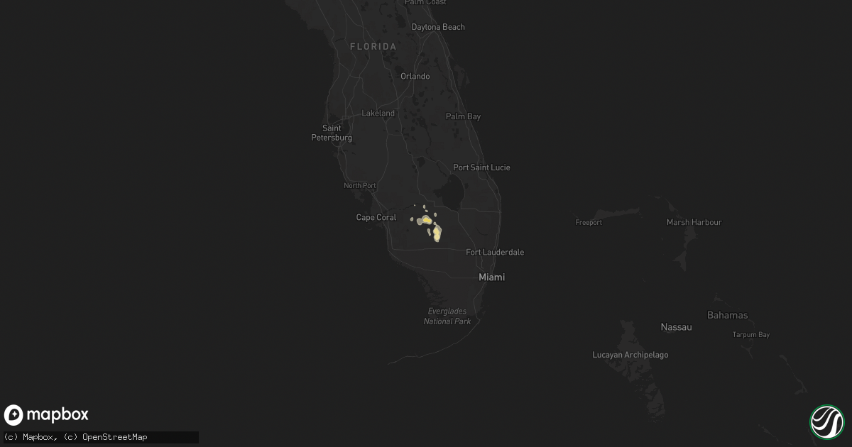
Hail Map in Florida on April 22, 2018
Get this storm
April 22 map
$229
one time, instant access
Download today. No call, no setup
Keep the $229
Bought the map and want the full workflow? Apply the entire $229 to a subscription within 7 days. None of it is wasted.
Every map, not just this one
This buys you this map. Subscription and you get every map we run, in the markets you choose from a few cities to whole states to nationwide. Plus real-time alerts the moment a storm fires.
Contact data
Name, contact info, occupancy, even credit band for addresses in the footprint. You go from where it hit to who to call.
Become the source they trust
Unlimited branding weather history reports on demand. You already have the documented answer ready for the property owner, and you are the one who showed up with it.
Property data and RoofTrace estimates
Pull up any address you have got, its value and the exact code rules for that jurisdiction, straight from One Click Code. Then RoofTrace estimates the squares, pitch, and roof value, priced the way you price.
Storm reports in Florida
Florida
| Date | Description |
|---|---|
| 04/22/20184:21 PM CDT | Image of a large tree snapped and numerous branches down near a home ocean city. |
| 04/22/20184:17 PM CDT | Roofing damage to the charlie hill terrace. Okaloosa sheriff office reports numerous downed trees and powerlines with minor damage to buildings across southern okaloosa |
| 04/22/20184:11 PM CDT | Video of a waterspout moving onshore along fort walton beach. |
| 04/22/20184:00 PM CDT | Large branches snapped and a fence blown over in the brookside hills subdivison. |
| 04/22/20181:10 PM CDT | At least 5 structures with damage and several downed trees and power lines along crabtree church road. Reports and pictures via northescambia online newspaper and socia |
| 04/22/20181:02 PM CDT | A brief ef-0 tornado occurred on crabtree church rd. One home experienced shingle damage and a broken window and a mobile home was shifted on its foundation. There were |
| 04/22/20181:02 PM CDT | Fire chief reports a home with missing shingles with downed powerlines and tree debris over the road in molino... Fl. |
| 04/21/201811:24 PM CDT | At 424 PM CDT, a severe thunderstorm was located 6 miles northwest of Point Baker, or 10 miles northwest of Milton, moving northeast at 30 mph. HAZARD...60 mph wind gusts. SOURCE...Radar indicated. IMPACT...Expect damage to roofs, siding, and trees. This severe thunderstorm will remain over mainly rural areas of northern Santa Rosa County. |
| 04/21/201810:49 PM CDT | At 349 PM CDT, a severe thunderstorm was located over Ensley, moving north at 25 mph. HAZARD...60 mph wind gusts. SOURCE...Radar indicated. IMPACT...Expect damage to roofs, siding, and trees. Locations impacted include... Pensacola, Ferry Pass, Brent, Ensley, Gonzalez, Pace and Molino. |


