Hail Map in Pennsylvania on April 14, 2022
Get this storm
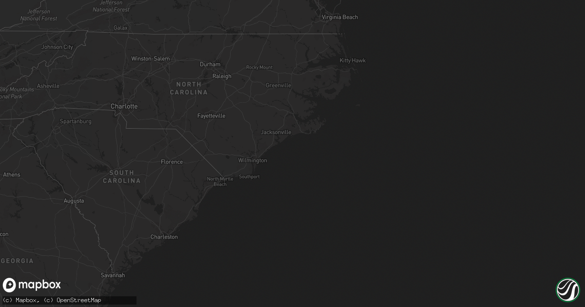
April 14 map
$229
one time, instant access
Download today. No call, no setup
Keep the $229
Bought the map and want the full workflow? Apply the entire $229 to a subscription within 7 days. None of it is wasted.
Every map, not just this one
This buys you this map. Subscription and you get every map we run, in the markets you choose from a few cities to whole states to nationwide. Plus real-time alerts the moment a storm fires.
Contact data
Name, contact info, occupancy, even credit band for addresses in the footprint. You go from where it hit to who to call.
Become the source they trust
Unlimited branding weather history reports on demand. You already have the documented answer ready for the property owner, and you are the one who showed up with it.
Property data and RoofTrace estimates
Pull up any address you have got, its value and the exact code rules for that jurisdiction, straight from One Click Code. Then RoofTrace estimates the squares, pitch, and roof value, priced the way you price.
Storm reports in Pennsylvania
Pennsylvania
| Date | Description |
|---|---|
| 04/14/20224:22 PM CDT | Asos station kphl philadelphia international airport. |
| 04/14/20223:49 PM CDT | Trees and wires down along brintons bridge road near chaddwyck lane. Time estimated from radar. |
| 04/14/202212:30 AM CDT | At 529 PM EDT, severe thunderstorms were located along a line extending from Jenkintown to Audubon Park to near Pitman, moving east at 35 mph. HAZARD...60 mph wind gusts. A wind gust to 59 mph was measured at the Philadelphia International Airport. SOURCE...Radar indicated. IMPACT...Damage to roofs, siding, trees, and power lines is possible. Locations impacted include... Philadelphia, Camden, Gloucester City, Cherry Hill, Bensalem, Evesham, Mount Laurel, Willingboro, Voorhees, Medford, Glassboro, Lindenwold, Lumberton, Florence, Bellmawr, Woodbury, Burlington, Bristol, Mount Holly and Pitman.This includes the following highways... New Jersey Turnpike between exits 3 and 7A. Pennsylvania Turnpike between mile markers 354 and 359. Interstate 95 in Pennsylvania between mile markers 20 and 40. Interstate 76 in New Jersey between mile markers 0 and 3. Interstate 295 in New Jersey between mile markers 25 and 58. Interstate 676 in New Jersey between mile markers 0 and 4. Atlantic City Expressway between mile markers 40 and 44. |
| 04/13/202211:29 PM CDT | At 428 PM EDT, a severe thunderstorm was located over Royersford, or 17 miles north of West Chester, moving northeast at 35 mph. Another storm in central Montgomery County crossing into Bucks County may also turn severe. HAZARD...60 mph wind gusts and penny size hail. SOURCE...Radar indicated. IMPACT...Damage to roofs, siding, trees, and power lines is possible. Locations impacted include... Pottstown, Phoenixville, Lansdale, Quakertown, Perkasie, Doylestown, Souderton, Collegeville, Royersford, Chalfont, Trappe, Hatfield, Dublin, Schwenksville, Green Lane, Fricks, Spring Mount, Cedarville, Skippack and Stowe.This includes Northeast Extension between mile markers 27 and 42. |
All States Impacted by Hail Map on April 14, 2022
Cities Impacted by Hail Map on April 14, 2022
- Clewiston, FL
- Riverton, CT
- Winsted, CT
- Colebrook, CT
- Norfolk, CT
- Colmar, PA
- Hatfield, PA
- Lansdale, PA
- Harleysville, PA
- Marlton, NJ
- Cherry Hill, NJ
- Philadelphia, PA
- Thorofare, NJ
- Chester, PA
- Gloucester City, NJ
- Essington, PA
- Oaklyn, NJ
- Ridley Park, PA
- Camden, NJ
- Maple Shade, NJ
- Mount Laurel, NJ
- Mount Ephraim, NJ
- Crum Lynne, PA
- Haddonfield, NJ
- National Park, NJ
- Collingswood, NJ
- Westville, NJ
- Audubon, NJ


