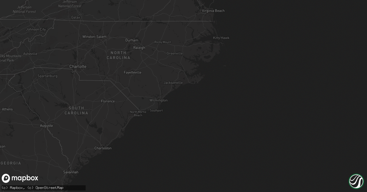
Hail Map in New Jersey on April 14, 2022
Get this storm
April 14 map
$229
one time, instant access
Download today. No call, no setup
Keep the $229
Bought the map and want the full workflow? Apply the entire $229 to a subscription within 7 days. None of it is wasted.
Every map, not just this one
This buys you this map. Subscription and you get every map we run, in the markets you choose from a few cities to whole states to nationwide. Plus real-time alerts the moment a storm fires.
Contact data
Name, contact info, occupancy, even credit band for addresses in the footprint. You go from where it hit to who to call.
Become the source they trust
Unlimited branding weather history reports on demand. You already have the documented answer ready for the property owner, and you are the one who showed up with it.
Property data and RoofTrace estimates
Pull up any address you have got, its value and the exact code rules for that jurisdiction, straight from One Click Code. Then RoofTrace estimates the squares, pitch, and roof value, priced the way you price.
Storm reports in New Jersey
New Jersey
| Date | Description |
|---|---|
| 04/14/20224:55 PM CDT | Wires and a tree downed in pemberton. Time estimated from radar. |
| 04/14/20224:30 PM CDT | Wires down along nj 41 in deptford township near cr 534/good intent road. Power outages to homes/businesses and traffic lights reported in the area. Time estimated from |
| 04/14/20224:11 PM CDT | *** 1 inj *** video shows significant damage to structure at bergenfield high school. Bleachers... A field goal post... And metal siding are seen strewn about the field |
| 04/14/202212:59 AM CDT | At 558 PM EDT, a severe thunderstorm was located over Browns Mills, or 18 miles southeast of Trenton, moving east at 45 mph. HAZARD...60 mph wind gusts. SOURCE...Radar indicated. IMPACT...Damage to roofs, siding, trees, and power lines is possible. Locations impacted include... Toms River, Lakewood, Jackson, Beachwood, Manasquan, Point Pleasant Beach, Presidential Lakes Estates, Seaside Heights, Lakehurst, Wrightstown, Mantoloking, Leisure Village, Dover Beaches North, Holiday City South, Pleasant Plains, Cedar Glen West, Leisure Village East, Dover Beaches South, Georgetown and Presidential Lakes.This includes Garden State Parkway between mile markers 75 and 93. |
| 04/14/202212:32 AM CDT | At 532 PM EDT, a severe thunderstorm was located over Princeton, or 10 miles northeast of Trenton, moving east at 40 mph. HAZARD...60 mph wind gusts. SOURCE...Radar indicated. IMPACT...Damage to roofs, siding, trees, and power lines is possible. Locations impacted include... Trenton, New Brunswick, Perth Amboy, Somerset, Edison, Old Bridge, East Brunswick, South Brunswick, Sayreville, North Brunswick, Ewing, Middlesex, Princeton, Bound Brook, Manville, Jamesburg, Cranbury, Pennington, Hopewell and Rocky Hill.This includes the following highways... New Jersey Turnpike between exits 9 and 12. Interstate 295 in New Jersey between mile markers 64 and 76. Interstate 287 in New Jersey between mile markers 0 and 12. Garden State Parkway between mile markers 121 and 132. |
| 04/14/202212:24 AM CDT | At 524 PM EDT, a severe thunderstorm was located over Bronxville, or over Yonkers, moving east at 35 mph. HAZARD...60 mph wind gusts and penny size hail. SOURCE...Radar indicated. IMPACT...Expect damage to trees and power lines. This severe thunderstorm will be near... Scarsdale around 530 PM EDT. White Plains and Rye around 535 PM EDT. Port Chester around 540 PM EDT. Darien around 600 PM EDT. Norwalk around 605 PM EDT. Westport around 615 PM EDT. |
| 04/14/202212:06 AM CDT | At 505 PM EDT, a severe thunderstorm was located near Ivyland, or 16 miles west of Trenton, moving east at 40 mph. HAZARD...60 mph wind gusts. SOURCE...Radar indicated. IMPACT...Damage to roofs, siding, trees, and power lines is possible. Locations impacted include... Ewing, Doylestown, Hatboro, Chalfont, New Hope, Yardley, Newtown, Ivyland, Richboro, Woodside, Horsham, Lambertville, New Britain, Churchville, Warminster Heights, Maple Glen, Village Shires, Newtown Grant and Woodbourne. |
| 04/13/202211:16 PM CDT | At 415 PM EDT, a severe thunderstorm was located over Chester, or 9 miles west of Morristown, moving east at 30 mph. HAZARD...60 mph wind gusts. SOURCE...Radar indicated. IMPACT...Damage to roofs, siding, trees, and power lines is possible. Locations impacted include... Morristown, Dover, Madison, Florham Park, East Hanover, Lincoln Park, Kinnelon, Boonton, Butler, Wharton, Rockaway, Morris Plains, Mendham, Mountain Lakes, Riverdale, Chester, Victory Gardens, Succasunna, Succasunna-Kenvil and Parsippany.This includes the following highways... Interstate 80 in New Jersey between mile markers 35 and 48. Interstate 287 in New Jersey between mile markers 33 and 54. |
All States Impacted by Hail Map on April 14, 2022
Cities Impacted by Hail Map on April 14, 2022
- Clewiston, FL
- Riverton, CT
- Winsted, CT
- Colebrook, CT
- Norfolk, CT
- Colmar, PA
- Hatfield, PA
- Lansdale, PA
- Harleysville, PA
- Marlton, NJ
- Cherry Hill, NJ
- Philadelphia, PA
- Thorofare, NJ
- Chester, PA
- Gloucester City, NJ
- Essington, PA
- Oaklyn, NJ
- Ridley Park, PA
- Camden, NJ
- Maple Shade, NJ
- Mount Laurel, NJ
- Mount Ephraim, NJ
- Crum Lynne, PA
- Haddonfield, NJ
- National Park, NJ
- Collingswood, NJ
- Westville, NJ
- Audubon, NJ


