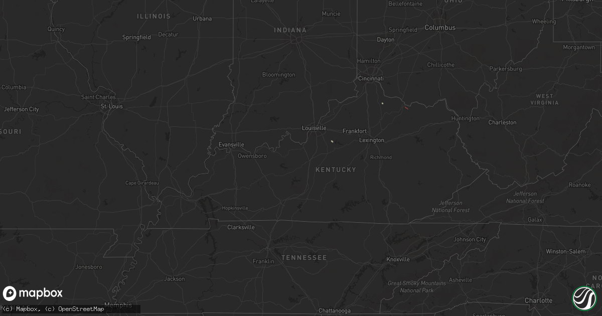
Hail Map in Kentucky on April 12, 2024
Get this storm
April 12 map
$229
one time, instant access
Download today. No call, no setup
Keep the $229
Bought the map and want the full workflow? Apply the entire $229 to a subscription within 7 days. None of it is wasted.
Every map, not just this one
This buys you this map. Subscription and you get every map we run, in the markets you choose from a few cities to whole states to nationwide. Plus real-time alerts the moment a storm fires.
Contact data
Name, contact info, occupancy, even credit band for addresses in the footprint. You go from where it hit to who to call.
Become the source they trust
Unlimited branding weather history reports on demand. You already have the documented answer ready for the property owner, and you are the one who showed up with it.
Property data and RoofTrace estimates
Pull up any address you have got, its value and the exact code rules for that jurisdiction, straight from One Click Code. Then RoofTrace estimates the squares, pitch, and roof value, priced the way you price.
Storm reports in Kentucky
Kentucky
| Date | Description |
|---|---|
| 04/12/20245:42 PM CDT | Video confirmation of a tornado along the aa highway. A metal barn was damaged. Time estimated from radar. |
| 04/12/20245:41 PM CDT | Ef1 tornado caused damage to outbuildings and nearby trees. Based on the degree of damage to the outbuildings... Wind speeds were estimated around 90 mph. Path length o |
| 04/12/20242:11 PM CDT | Photos of two downed/damaged trees and lawn furniture at a residence near gausdale. Wind arrived in one huge gust. Time estimated by radar. |
| 04/12/20242:11 PM CDT | Photos sent in by trained spotter of downed/damaged trees at a residence near gausdale by a thunderstorm. Spotter noted the wind arrived in one huge gust. Time estimate |
All States Impacted by Hail Map on April 12, 2024
Cities Impacted by Hail Map on April 12, 2024
- Prairie City, OR
- Lovelock, NV
- Fallon, NV
- Taylorsville, KY
- Fayetteville, NC
- Hope Mills, NC
- Stedman, NC
- Autryville, NC
- Roseboro, NC
- Falmouth, KY
- Lumberton, NC
- Bladenboro, NC
- Elizabethtown, NC
- Tar Heel, NC
- Clarkton, NC
- Council, NC
- Kelly, NC
- Ivanhoe, NC
- Jacksonville, NC
- Maple Hill, NC
- Camp Lejeune, NC
- Merritt, NC
- Bayboro, NC
- Oriental, NC
- Newport, NC
- Morehead City, NC
- Atlantic Beach, NC
- Beaufort, NC
- Harkers Island, NC
- Maysville, KY
- Springdale, MT
- Big Timber, MT
- McLeod, MT
- Livingston, MT


