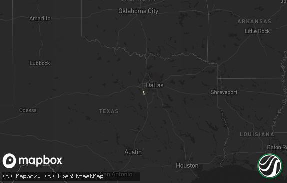
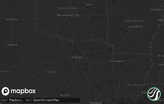
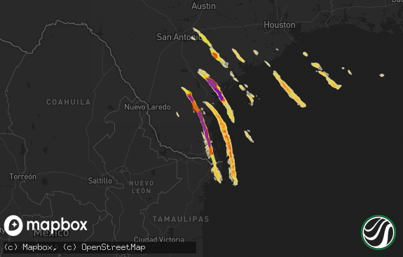
Hail Map in Texas on April 7, 2021
The weather event in Texas on April 7, 2021 includes Hail, Wind, and Tornado maps. 10 states and 89 cities were impacted and suffered possible damage. The total estimated number of properties impacted is 435.

Hail
Wind
Tornado
435
Estimated number of impacted properties by a 1.00" hail or larger0
Estimated number of impacted properties by a 1.75" hail or larger0
Estimated number of impacted properties by a 2.50" hail or largerStorm reports in Texas
Texas
| Date | Description |
|---|---|
| 04/07/20215:41 PM CDT | Trees reported down on power lines just south of boykin springs recreational area. |
| 04/07/20215:41 PM CDT | Trees reported down on power lines just south of boykin springs recreational area. |
| 04/07/20215:41 PM CDT | Trees reported down on power lines just south of boykin springs recreational area. |
| 04/07/20215:41 PM CDT | Trees reported down on power lines just south of boykin springs recreational area. |
| 04/07/20215:30 PM CDT | Tree down on fire rd. 705 near powell park resort & marina. |
| 04/07/20215:05 PM CDT | Tree and power line down along hwy 147 between zavalla and broaddus. |
| 04/07/202112:21 AM CDT | At 520 PM CDT, a severe thunderstorm was located 7 miles northwest of Ebenezer, moving east at 35 mph. HAZARD...60 mph wind gusts and quarter size hail. SOURCE...Radar indicated. IMPACT...Hail damage to vehicles is expected. Expect wind damage to roofs, siding, and trees. Locations impacted include... Ebenezer, Browndell, Harrisburg and Sam Rayburn Dam. |
| 04/06/202111:58 PM CDT | At 458 PM CDT, a severe thunderstorm was located 10 miles north of Rockland, moving east at 25 mph. HAZARD...60 mph wind gusts and quarter size hail. SOURCE...Radar indicated. IMPACT...Hail damage to vehicles is expected. Expect wind damage to roofs, siding, and trees. Locations impacted include... Zavalla, Dolan and Shawnee. |
| 04/06/202111:09 PM CDT | At 409 PM CDT, a severe thunderstorm was located near Melrose, or 15 miles southeast of Nacogdoches, moving southeast at 25 mph. HAZARD...60 mph wind gusts and quarter size hail. SOURCE...Radar indicated. IMPACT...Hail damage to vehicles is expected. Expect wind damage to roofs, siding, and trees. Locations impacted include... Melrose, Macune, Etoile, Woden, Chireno, Broaddus, Denning and Chinaquapin. |
| 04/06/20219:12 PM CDT | At 212 PM CDT, a severe thunderstorm was located near West Mountain, or near Gilmer, moving east at 35 mph. HAZARD...60 mph wind gusts and quarter size hail. SOURCE...Radar indicated. IMPACT...Hail damage to vehicles is expected. Expect wind damage to roofs, siding, and trees. Locations impacted include... Longview, White Oak, Gladewater, Gilmer, Ore City, Clarksville City, East Mountain, Diana, West Mountain, Berea, Harleton, Union Grove, Warren City, Lassater, Nesbitt, Bettie, Pritchett and Judson. |
| 04/06/20219:09 PM CDT | At 208 PM CDT, a severe thunderstorm was located 7 miles north of Palestine, moving east at 40 mph. HAZARD...60 mph wind gusts and quarter size hail. SOURCE...Radar indicated. IMPACT...Hail damage to vehicles is expected. Expect wind damage to roofs, siding, and trees. Locations impacted include... Palestine. |
| 04/06/20218:22 PM CDT | At 121 PM CDT, a severe thunderstorm was located over Bland Lake, or 15 miles south of Center, moving northeast at 55 mph. HAZARD...60 mph wind gusts and quarter size hail. SOURCE...Radar indicated. IMPACT...Hail damage to vehicles is expected. Expect wind damage to roofs, siding, and trees. Locations impacted include... San Augustine, Zwolle, Converse, Patroon, Bland Lake, Neuville, Oak Grove, Pleasant Hill, Huxley, Noble, Hurstown, Sexton, Calgary, Belmont, Pelican, Toledo Bend Reservoir North and Jordans Store. |
All States Impacted by Hail Map on April 7, 2021
Cities Impacted by Hail Map on April 7, 2021
- Allenton, WI
- Columbia, MO
- Rocheport, MO
- Jarreau, LA
- Highlandville, MO
- Zavalla, TX
- Tennessee Colony, TX
- Montalba, TX
- Romance, AR
- Searcy, AR
- Quitman, AR
- Greenbrier, AR
- Heber Springs, AR
- Lorimor, IA
- Peru, IA
- Jamestown, MO
- California, MO
- Nixa, MO
- Woodville, MS
- Rose Bud, AR
- Opelousas, LA
- Broaddus, TX
- Eunice, LA
- Basile, LA
- Bee Branch, AR
- Damascus, AR
- Centertown, MO
- Tipton, MO
- Clever, MO
- Saint Charles, IA
- Prole, IA
- Brookeland, TX
- Higden, AR
- Mount Vernon, AR
- Enola, AR
- Palestine, TX
- Norwalk, IA
- Centerville, TX
- Jasper, TX
- Olive Branch, MS
- Nesbit, MS
- Southaven, MS
- Memphis, TN
- Russellville, AL
- Red Bay, AL
- Vina, AL
- Golden, MS
- Fulton, MS
- Coushatta, LA
- Ringgold, LA
- Sterlington, LA
- Bastrop, LA
- Bonita, LA
- Monroe, LA
- Mer Rouge, LA
- Jones, LA
- Farmerville, LA
- Parkdale, AR
- Greenville, MS
- Wilmot, AR
- Eudora, AR
- Chatham, MS
- Lecompte, LA
- Woodworth, LA
- Marksville, LA
- Mansura, LA
- Moreauville, LA
- Angola, LA
- Greensburg, LA
- Kentwood, LA
- Franklinton, LA
- Amite, LA
- Lacombe, LA
- Humnoke, AR
- Mora, MO
- Smithton, MO
- Florence, MO
- Stover, MO
- Lincoln, MO
- Otterville, MO
- Syracuse, MO
- Cole Camp, MO
- De Soto, MO
- Blackwell, MO
- Hillsboro, MO
- Grafton, IL
- Portage Des Sioux, MO
- Saint Charles, MO
- Elsah, IL


