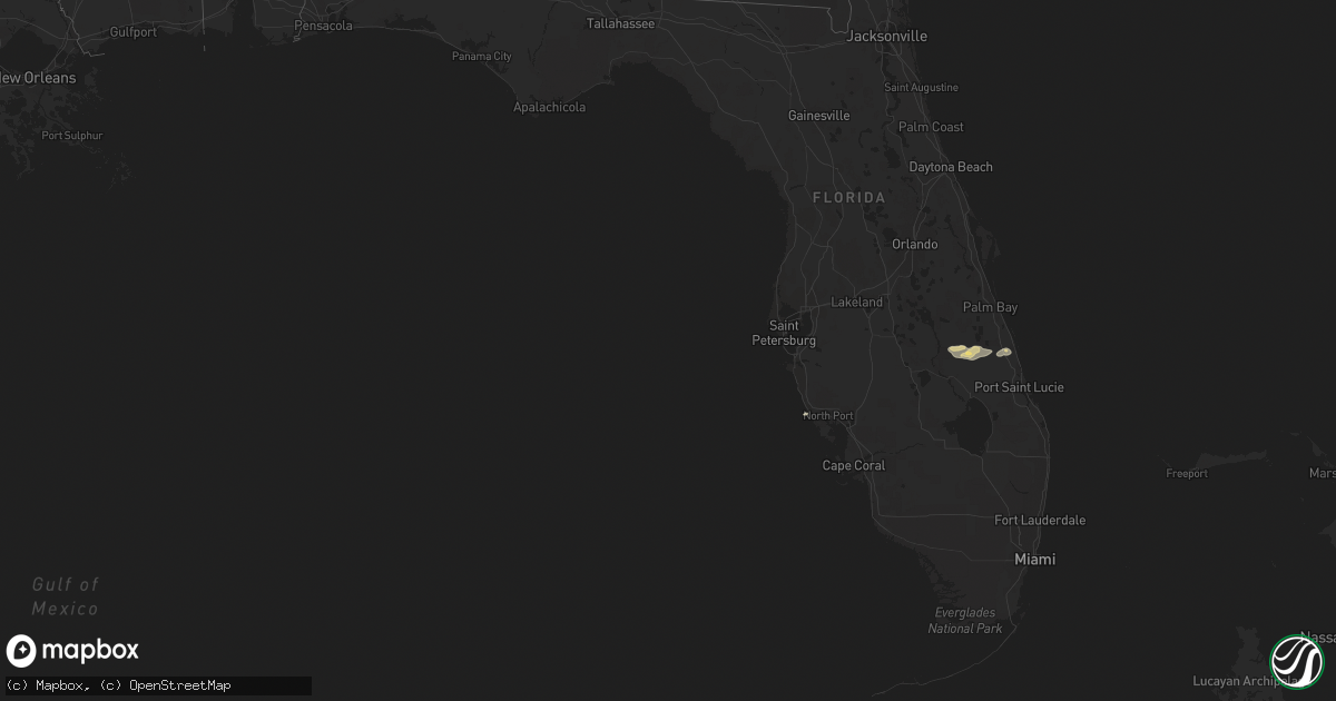
Hail Map in Florida on April 6, 2017
Get this storm
April 6 map
$229
one time, instant access
Download today. No call, no setup
Keep the $229
Bought the map and want the full workflow? Apply the entire $229 to a subscription within 7 days. None of it is wasted.
Every map, not just this one
This buys you this map. Subscription and you get every map we run, in the markets you choose from a few cities to whole states to nationwide. Plus real-time alerts the moment a storm fires.
Contact data
Name, contact info, occupancy, even credit band for addresses in the footprint. You go from where it hit to who to call.
Become the source they trust
Unlimited branding weather history reports on demand. You already have the documented answer ready for the property owner, and you are the one who showed up with it.
Property data and RoofTrace estimates
Pull up any address you have got, its value and the exact code rules for that jurisdiction, straight from One Click Code. Then RoofTrace estimates the squares, pitch, and roof value, priced the way you price.
Storm reports in Florida
Florida
| Date | Description |
|---|---|
| 04/06/20179:19 AM CDT | Corrected source of report. A ef-0 tornado/waterspout moved from the southern part of pine island at 1019 am to lakes regional park in fort myers at 1040 am. Time based |
| 04/06/20178:50 AM CDT | Potential tornado damage. Per fdem state watch office...okeechobee sheriffs office reports damage to homes north of ft. Drum...approximate location is 1335 ne 342nd tra |
| 04/06/20178:40 AM CDT | Private citizen reports downed trees on the road at the intersection of us-441 and nw 353th street near ft. Drum. |
| 04/06/20178:30 AM CDT | *** 3 inj *** possible damage from a tornado. Kissimmee prairie preserve state park biologist reports a few flipped campers... Some big trees uprooted... Sheet metal lo |
| 04/06/20178:00 AM CDT | Emergency management reported wires down at the intersection of south 22nd street and ocean shore blvd. |


