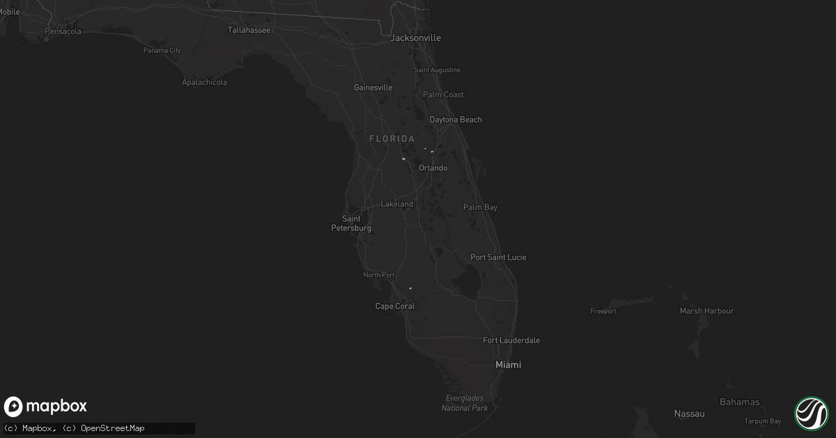
Hail Map in Florida on April 5, 2011
Get this storm
April 5 map
$229
one time, instant access
Download today. No call, no setup
Keep the $229
Bought the map and want the full workflow? Apply the entire $229 to a subscription within 7 days. None of it is wasted.
Every map, not just this one
This buys you this map. Subscription and you get every map we run, in the markets you choose from a few cities to whole states to nationwide. Plus real-time alerts the moment a storm fires.
Contact data
Name, contact info, occupancy, even credit band for addresses in the footprint. You go from where it hit to who to call.
Become the source they trust
Unlimited branding weather history reports on demand. You already have the documented answer ready for the property owner, and you are the one who showed up with it.
Property data and RoofTrace estimates
Pull up any address you have got, its value and the exact code rules for that jurisdiction, straight from One Click Code. Then RoofTrace estimates the squares, pitch, and roof value, priced the way you price.
Storm reports in Florida
Florida
| Date | Description |
|---|---|
| 04/05/20111:08 PM CDT | A member of the public estimated wind speeds to be greater than 60 mph about a mile and a half east of us 27 and just north of pines blvd. Large windows were bowing inw |
| 04/05/20111:05 PM CDT | A thunderstorm wind gust of 50 kts...or 57 mph...was recorded by a mesonet sensor in davie at 205 pm edt. A tree branch was also reported to have broken off and fallen |
| 04/05/201112:27 PM CDT | A thunderstorm wind gust of 51 kts...or 59 mph...was recorded by the asos at palm beach international airport at 127 pm edt. Winds were sustained at 40 kts...or 46 mph. |
| 04/05/201112:25 PM CDT | Broadcast media reported power lines downed at the intersection of hagen ranch road and flavor pict road...just east of the florida turnpike. |
| 04/05/201112:25 PM CDT | A motorist reported a possible tornado with a tractor trailer overturned just east of the florida turnpike and boynton beach blvd. |
| 04/05/201111:55 AM CDT | A thunderstorm wind gust of 51 kts...or 59 mph...was recorded by a mesonet sensor in belle glade at 1255 pm edt. |
| 04/05/20119:35 AM CDT | Structural damage reported on marnie circle. Time estimated by radar. |
| 04/05/20119:25 AM CDT | Structural damage reported near viera blvd and us 1. Time estimated by radar. |
| 04/05/20118:20 AM CDT | A wind gust caused a large pickup truck towing a trailer to jackknife and flip the trailer onto its side. Time estimated by radar. |
| 04/05/20117:43 AM CDT | Large tree down across roadway and on a car at n boundary and w wisconsin. Time estimated from radar. Report relayed from broacast media and law enforcement. |
| 04/05/20117:40 AM CDT | Large tree down. Specific location unknown. Time estimated from radar. Report relayed from broacast media. |
| 04/05/20117:25 AM CDT | Komn at ormond beach municipal airport measured a wind gust of 52 kt/60 mph. |
| 04/05/20117:00 AM CDT | Trees were blown down and were blocking the roadway at the intersection of interstate 75 and the florida turnpike. Time is estimated off of radar. |


