Hail Map on April 5, 2011
Get this storm
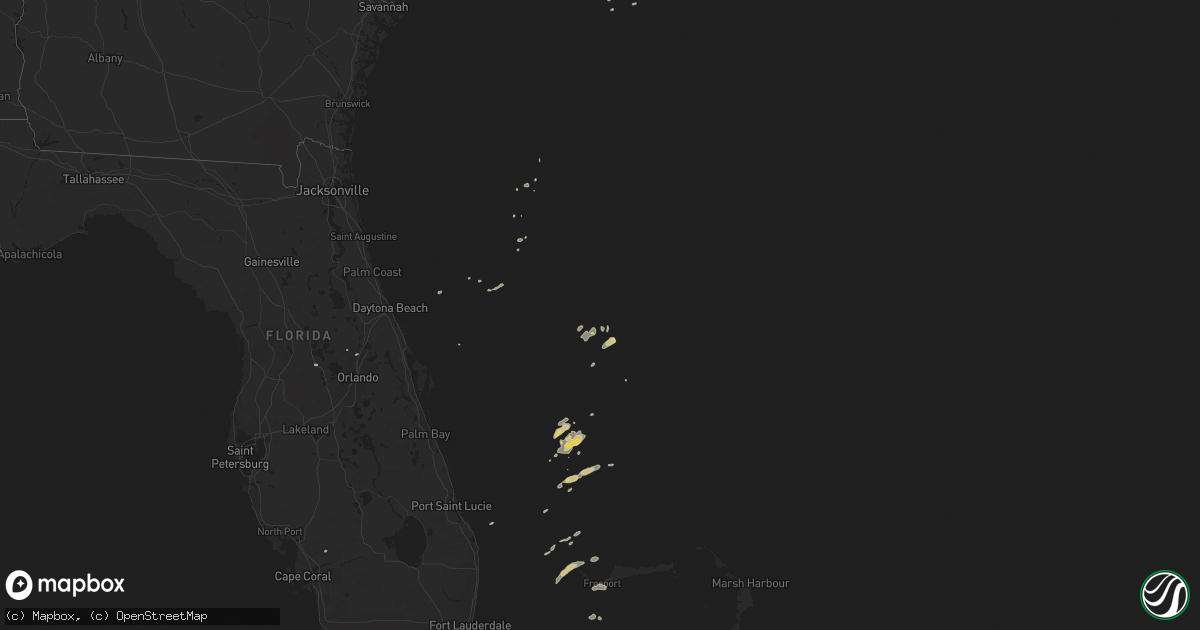
April 5 map
$229
one time, instant access
Download today. No call, no setup
Keep the $229
Bought the map and want the full workflow? Apply the entire $229 to a subscription within 7 days. None of it is wasted.
Every map, not just this one
This buys you this map. Subscription and you get every map we run, in the markets you choose from a few cities to whole states to nationwide. Plus real-time alerts the moment a storm fires.
Contact data
Name, contact info, occupancy, even credit band for addresses in the footprint. You go from where it hit to who to call.
Become the source they trust
Unlimited branding weather history reports on demand. You already have the documented answer ready for the property owner, and you are the one who showed up with it.
Property data and RoofTrace estimates
Pull up any address you have got, its value and the exact code rules for that jurisdiction, straight from One Click Code. Then RoofTrace estimates the squares, pitch, and roof value, priced the way you price.
States Impacted by Hail Map on April 5, 2011
Storm reports
North Carolina
| Date | Description |
|---|---|
| 04/05/201111:10 AM CDT | Large branches down... Reported by blounts creek fire department near aurora. |
| 04/05/201110:53 AM CDT | Tree down on highway 264 east 4 miles east of washington near asbury church road |
| 04/05/201110:45 AM CDT | Tree down on highway 45 north 3 miles east of plymouth |
| 04/05/201110:21 AM CDT | Tree down 3900 block of tower tree hill road in kinston |
| 04/05/201110:15 AM CDT | 1 trre down on maple road in greenville and another tree down on dixon road in greenville |
| 04/05/201110:05 AM CDT | Newspaper reported tree uprooted clipping a roof in the town of snow hill. Also multiple branches and limbs down across town. |
| 04/05/20119:59 AM CDT | Power pole snapped in half and power lines down on highway 903 south in greene county |
| 04/05/20119:43 AM CDT | A local report indicates 60 MPH wind near SEYMOUR JOHNSON AFB |
| 04/05/20119:40 AM CDT | Trees down across eastern part of northampton county. |
| 04/05/20119:35 AM CDT | Tree down on a power line on mulberry street in goldsboro. |
| 04/05/20119:15 AM CDT | Trees down along hickory crossroads road near princeton. |
| 04/05/20119:04 AM CDT | Tree down on tomahawk trail near inverness rd. |
| 04/05/20119:04 AM CDT | 1 tree down near old farm rd and julian allsbrook hwy. |
| 04/05/20119:04 AM CDT | Trees down along boddie mill pond road near nashville. |
| 04/05/20119:00 AM CDT | Trees down along pleasant grove church road near highway 581. |
| 04/05/20119:00 AM CDT | Trees down along big woods road near spring hope. |
| 04/05/20118:41 AM CDT | Multiple trees down including a tree on power lines on roanoke chapel rd. |
| 04/05/20118:40 AM CDT | Pine tree blown down in the knightdale estates area athodege and poole roads. |
| 04/05/20118:29 AM CDT | Tree down on us hwy 158 bus w near big woods rd |
| 04/05/20118:23 AM CDT | Tree down on warren plains rd near wise five forks rd. |
| 04/05/20118:15 AM CDT | Several trees downed and snapped at top. Storage bldgs damaged. |
| 04/05/20117:45 AM CDT | Public reported tree down on powerlines in north harlowe. |
| 04/05/20117:30 AM CDT | 6 to 8 building damaged in siler city with roofs blown off. Associated with the line of showers along the cold front. |
| 04/05/20117:05 AM CDT | A large tree was reportedly down near the intersection of thornton drive and center drive. Time estimated based on radar data. |
Virginia
| Date | Description |
|---|---|
| 04/05/201110:35 AM CDT | Trees and powerlines down on logan court and alaric drive. |
| 04/05/201110:30 AM CDT | Powerlines down 2600 block of greenwoord drive. |
| 04/05/201110:20 AM CDT | Roof blown off a city building on carolina road. |
| 04/05/201110:17 AM CDT | Large tree down on highway 58 near wilroy road. |
| 04/05/201110:00 AM CDT | Large tree blown down. |
| 04/05/20119:50 AM CDT | Two trees down blocking entrance to new quarter park. |
| 04/05/20119:00 AM CDT | Winds reported by dispacth supervisor |
| 04/05/20118:15 AM CDT | A vacant trailor was overturned along with downed trees and power lines |
| 04/05/20117:00 AM CDT | Tree and power line down on aarons beach rd |
Florida
| Date | Description |
|---|---|
| 04/05/20111:08 PM CDT | A member of the public estimated wind speeds to be greater than 60 mph about a mile and a half east of us 27 and just north of pines blvd. Large windows were bowing inw |
| 04/05/20111:05 PM CDT | A thunderstorm wind gust of 50 kts...or 57 mph...was recorded by a mesonet sensor in davie at 205 pm edt. A tree branch was also reported to have broken off and fallen |
| 04/05/201112:27 PM CDT | A thunderstorm wind gust of 51 kts...or 59 mph...was recorded by the asos at palm beach international airport at 127 pm edt. Winds were sustained at 40 kts...or 46 mph. |
| 04/05/201112:25 PM CDT | A motorist reported a possible tornado with a tractor trailer overturned just east of the florida turnpike and boynton beach blvd. |
| 04/05/201112:25 PM CDT | Broadcast media reported power lines downed at the intersection of hagen ranch road and flavor pict road...just east of the florida turnpike. |
| 04/05/201111:55 AM CDT | A thunderstorm wind gust of 51 kts...or 59 mph...was recorded by a mesonet sensor in belle glade at 1255 pm edt. |
| 04/05/20119:35 AM CDT | Structural damage reported on marnie circle. Time estimated by radar. |
| 04/05/20119:25 AM CDT | Structural damage reported near viera blvd and us 1. Time estimated by radar. |
| 04/05/20118:20 AM CDT | A wind gust caused a large pickup truck towing a trailer to jackknife and flip the trailer onto its side. Time estimated by radar. |
| 04/05/20117:43 AM CDT | Large tree down across roadway and on a car at n boundary and w wisconsin. Time estimated from radar. Report relayed from broacast media and law enforcement. |
| 04/05/20117:40 AM CDT | Large tree down. Specific location unknown. Time estimated from radar. Report relayed from broacast media. |
| 04/05/20117:25 AM CDT | Komn at ormond beach municipal airport measured a wind gust of 52 kt/60 mph. |
| 04/05/20117:00 AM CDT | Trees were blown down and were blocking the roadway at the intersection of interstate 75 and the florida turnpike. Time is estimated off of radar. |
Georgia
| Date | Description |
|---|---|
| 04/05/201111:13 AM CDT | Also 4 inch limbs and branches breaking off of trees |
| 04/05/201111:13 AM CDT | Multiple trees and power lines down along ga 20 near the rockdale newton border. |
Pennsylvania
| Date | Description |
|---|---|
| 04/05/20119:27 AM CDT | Wind gust of 61 mph |