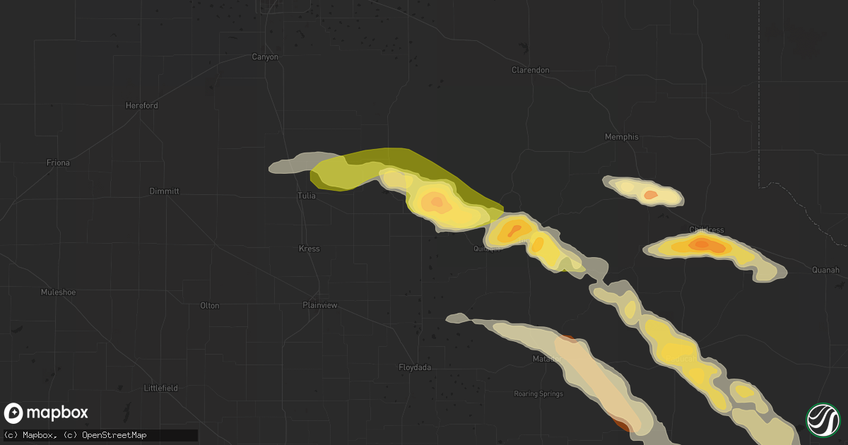
Hail Map in Silverton, TX on April 1, 2013
Get this storm
April 1 map
$229
one time, instant access
Download today. No call, no setup
Keep the $229
Bought the map and want the full workflow? Apply the entire $229 to a subscription within 7 days. None of it is wasted.
Every map, not just this one
This buys you this map. Subscription and you get every map we run, in the markets you choose from a few cities to whole states to nationwide. Plus real-time alerts the moment a storm fires.
Contact data
Name, contact info, occupancy, even credit band for addresses in the footprint. You go from where it hit to who to call.
Become the source they trust
Unlimited branding weather history reports on demand. You already have the documented answer ready for the property owner, and you are the one who showed up with it.
Property data and RoofTrace estimates
Pull up any address you have got, its value and the exact code rules for that jurisdiction, straight from One Click Code. Then RoofTrace estimates the squares, pitch, and roof value, priced the way you price.
Storm reports in Silverton, TX
Silverton, TX
| Date | Description |
|---|---|
| 04/01/20135:20 PM CDT | Power pole snapped |
| 04/01/20135:10 PM CDT | A local report indicates 2.00 inch wind near 4 ESE SILVERTON |
| 04/01/20135:00 PM CDT | 6 power poles blown over. All pushed to the east |
| 04/01/20134:41 PM CDT | Silverton high school net relayed by local media |
| 04/01/20134:40 PM CDT | Tornado touchdown reported by trained spotter |
All Cities Impacted by Hail Map on April 1, 2013
- Tulia, TX
- Happy, TX
- Matador, TX
- Dickens, TX
- Paducah, TX
- Rule, TX
- Rochester, TX
- Caddo, TX
- Breckenridge, TX
- Plainview, TX
- Childress, TX
- Silverton, TX
- Quitaque, TX
- Memphis, TX
- Homestead, FL
- Seymour, TX
- Clarendon, TX
- Lakeview, TX
- Turkey, TX
- Cee Vee, TX
- Crowell, TX
- Fort Stockton, TX
- Quanah, TX
- Knox City, TX
- O'Brien, TX
- Old Glory, TX
- Ponte Vedra Beach, FL
- Eastland, TX
- Cisco, TX
- Stamford, TX
- Throckmorton, TX
- Marathon, TX
- Miami, FL
- Ranger, TX
- Hico, TX
- Lockney, TX
- Haskell, TX
- Woodson, TX
- Albany, TX
- Tell, TX
- Weinert, TX
- Palm Coast, FL
- Roaring Springs, TX
- Hale Center, TX
- Sweetwater, TX


