Hail Map in Ohio on April 1, 2012
Get this storm
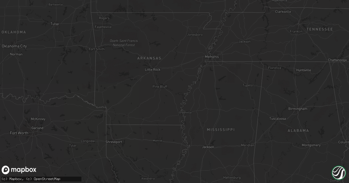
April 1 map
$229
one time, instant access
Download today. No call, no setup
Keep the $229
Bought the map and want the full workflow? Apply the entire $229 to a subscription within 7 days. None of it is wasted.
Every map, not just this one
This buys you this map. Subscription and you get every map we run, in the markets you choose from a few cities to whole states to nationwide. Plus real-time alerts the moment a storm fires.
Contact data
Name, contact info, occupancy, even credit band for addresses in the footprint. You go from where it hit to who to call.
Become the source they trust
Unlimited branding weather history reports on demand. You already have the documented answer ready for the property owner, and you are the one who showed up with it.
Property data and RoofTrace estimates
Pull up any address you have got, its value and the exact code rules for that jurisdiction, straight from One Click Code. Then RoofTrace estimates the squares, pitch, and roof value, priced the way you price.
Storm reports in Ohio
Ohio
| Date | Description |
|---|---|
| 03/31/201210:39 PM CDT | A local report indicates 1.00 inch wind near HARRISON |
| 03/31/201210:39 PM CDT | A local report indicates 1.00 inch wind near KENWOOD |
| 03/31/201210:30 PM CDT | A local report indicates 1.00 inch wind near FAIRFIELD |
| 03/31/201210:25 PM CDT | A local report indicates 1.00 inch wind near SHARONVILLE |
| 03/31/201210:22 PM CDT | A local report indicates 1.00 inch wind near CINCINNATI |
| 03/31/201210:15 PM CDT | A local report indicates 1.00 inch wind near 2 W MASON |
| 03/31/201210:09 PM CDT | A local report indicates 1.25 inch wind near HAMILTON |
| 03/31/201210:08 PM CDT | A local report indicates 1.00 inch wind near HAMILTON |
| 03/31/20129:23 PM CDT | Near lakengren |
| 03/31/20129:23 PM CDT | A local report indicates 1.25 inch wind near MUTTONVILLE |
All States Impacted by Hail Map on April 1, 2012
Cities Impacted by Hail Map on April 1, 2012
- Bethel, OH
- Amelia, OH
- Tivoli, TX
- Potomac, IL
- Henning, IL
- Danville, IL
- Rossville, IL
- Hoopeston, IL
- Bismarck, IL
- Alvin, IL
- Rankin, IL
- Rockport, TX
- Fountaintown, IN
- Waldron, IN
- Shelbyville, IN
- Fairland, IN
- Saint Paul, IN
- New Palestine, IN
- Greenfield, IN
- Flat Rock, IN
- Greensburg, IN
- Sheridan, IN
- Westfield, IN
- Carmel, IN
- Indianapolis, IN
- Fishers, IN
- Noblesville, IN
- Eagle Pass, TX
- Camden, OH
- Eaton, OH
- Cincinnati, OH
- Somerville, OH
- Hamilton, OH
- Oxford, OH
- Seven Mile, OH
- West Chester, OH
- Fairfield, OH
- Garrison, KY
- Vanceburg, KY
- Laredo, TX
- Oak Ridge, TN
- Briceville, TN
- Clinton, TN
- Oliver Springs, TN
- Pendleton, IN
- Carthage, IN
- Lapel, IN
- Gwynneville, IN
- Manilla, IN
- Ingalls, IN
- Arlington, IN
- Fortville, IN
- Rushville, IN
- Homer, IN
- Morristown, IN
- Milroy, IN
- Okeana, OH
- Liberty, IN
- Brookville, IN
- Cedar Grove, IN
- West Harrison, IN
- Harrison, OH
- Muncie, IN
- Daleville, IN
- Ashland, KY
- Wayne, WV
- Catlettsburg, KY
- Fort Gay, WV
- Rush, KY
- Prichard, WV
- Argillite, KY
- Kenova, WV
- Knoxville, TN
- Brackettville, TX
- Austwell, TX
- Maryville, TN
- Vonore, TN
- Tallassee, TN
- Yoakum, TX
- Powell, TN
- Anderson, IN
- Cuero, TX
- Edna, TX
- Quemado, TX
- Cleves, OH
- New Paris, OH
- Plum Branch, SC
- Troy, SC
- McCormick, SC
- Richmond, IN
- Aransas Pass, TX
- Taft, TX
- Inez, TX
- Port Lavaca, TX
- Wilkinson, IN
- Cicero, IN
- Bradley, SC
- Graniteville, SC
- Trenton, SC
- North Augusta, SC
- Yorktown, IN
- Edgefield, SC
- Bath, IN
- Melbourne, KY
- New Richmond, OH
- Hooven, OH
- Brownsville, IN
- Connersville, IN
- Selma, IN
- Genoa, WV
- Arcadia, IN
- Victoria, TX
- Bloomington, TX
- Asherton, TX


