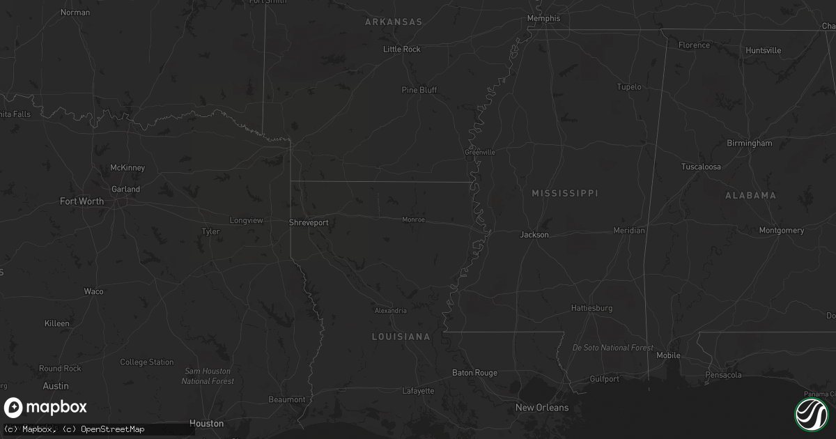
Hail Map on April 1, 2012
Get this storm
April 1 map
$229
one time, instant access
Download today. No call, no setup
Keep the $229
Bought the map and want the full workflow? Apply the entire $229 to a subscription within 7 days. None of it is wasted.
Every map, not just this one
This buys you this map. Subscription and you get every map we run, in the markets you choose from a few cities to whole states to nationwide. Plus real-time alerts the moment a storm fires.
Contact data
Name, contact info, occupancy, even credit band for addresses in the footprint. You go from where it hit to who to call.
Become the source they trust
Unlimited branding weather history reports on demand. You already have the documented answer ready for the property owner, and you are the one who showed up with it.
Property data and RoofTrace estimates
Pull up any address you have got, its value and the exact code rules for that jurisdiction, straight from One Click Code. Then RoofTrace estimates the squares, pitch, and roof value, priced the way you price.
States Impacted by Hail Map on April 1, 2012
Storm reports
Texas
| Date | Description |
|---|---|
| 04/01/20126:35 AM CDT | Trailer home and shed destroyed near the intersection of county road 216 and county road 225. |
| 04/01/20124:50 AM CDT | Multiple calls of trees down and windows busted in area. Some trees downed possibly very large in height and diamter. |
| 04/01/20124:50 AM CDT | A nws storm survey team concluded that a downburst occurred in the city of port lavaca with winds estimated between 70-80 mph. Several homes in path of the downburst su |
| 04/01/20124:45 AM CDT | Estimated nickel to quarter-sized hail. |
| 04/01/20123:45 AM CDT | Power outages - power lines down near oso bay. |
| 04/01/201212:50 AM CDT | Several road signs blown over along us hwy 59 |
| 03/31/20129:15 PM CDT | A local report indicates 1.00 inch wind near EAGLE PASS |
| 03/31/20129:10 PM CDT | Reported in the elm creek area just north of eagle pass |
Ohio
| Date | Description |
|---|---|
| 03/31/201210:39 PM CDT | A local report indicates 1.00 inch wind near HARRISON |
| 03/31/201210:39 PM CDT | A local report indicates 1.00 inch wind near KENWOOD |
| 03/31/201210:30 PM CDT | A local report indicates 1.00 inch wind near FAIRFIELD |
| 03/31/201210:25 PM CDT | A local report indicates 1.00 inch wind near SHARONVILLE |
| 03/31/201210:22 PM CDT | A local report indicates 1.00 inch wind near CINCINNATI |
| 03/31/201210:15 PM CDT | A local report indicates 1.00 inch wind near 2 W MASON |
| 03/31/201210:09 PM CDT | A local report indicates 1.25 inch wind near HAMILTON |
| 03/31/201210:08 PM CDT | A local report indicates 1.00 inch wind near HAMILTON |
| 03/31/20129:23 PM CDT | A local report indicates 1.25 inch wind near MUTTONVILLE |
| 03/31/20129:23 PM CDT | Near lakengren |
Tennessee
| Date | Description |
|---|---|
| 04/01/20124:50 PM CDT | A local report indicates 1.00 inch wind near 4 NNW TALASSEE |
| 04/01/20122:40 PM CDT | A local report indicates 1.00 inch wind near CLINTON |
North Carolina
| Date | Description |
|---|---|
| 04/01/20125:15 PM CDT | Tree down on dysartsville road. |
| 04/01/20124:40 PM CDT | Power lines down along suger hill road. |
| 04/01/20124:20 PM CDT | A tree down in the backyard. |
| 04/01/20124:10 PM CDT | News media reports a tree down on a house on von ruck court. |
| 04/01/20123:50 PM CDT | Trees and power lines down along indian camp road. |
| 04/01/20123:45 PM CDT | Thunderstorm winds blew down the tower of radio station whbk. The tower was estimated to be 300 feet high. |
| 04/01/20123:45 PM CDT | Trees and powerlines down along monticello road. |
| 04/01/20123:40 PM CDT | Trees and power lines down. |
South Carolina
| Date | Description |
|---|---|
| 04/01/20126:50 PM CDT | Multiple trees and power lines down in joanna. Large tree on house. No injuries reported. |
Illinois
| Date | Description |
|---|---|
| 04/01/20128:10 AM CDT | A hail stone cracked the windshield of a pickup on a farm 3 miles west of hoopeston. |
Indiana
| Date | Description |
|---|---|
| 03/31/201210:51 PM CDT | A local report indicates 1.50 inch wind near NEW PALESTINE |
| 03/31/201210:19 PM CDT | A local report indicates 1.25 inch wind near 3 S MOSCOW |
| 03/31/20129:52 PM CDT | A local report indicates 1.50 inch wind near NEW PALESTINE |
| 03/31/20129:50 PM CDT | A local report indicates 1.75 inch wind near NEW PALESTINE |
| 03/31/20129:48 PM CDT | Hail was covering ground to a one quarter inch depth |
| 03/31/20129:43 PM CDT | A local report indicates 1.00 inch wind near 2 NNW CUMBERLAND |
| 03/31/20129:43 PM CDT | A local report indicates 1.50 inch wind near 10 NNW ARLINGTON |
| 03/31/20129:40 PM CDT | A local report indicates 1.00 inch wind near 1 NW CUMBERLAND |
| 03/31/20129:40 PM CDT | A local report indicates 1.25 inch wind near 3 W CUMBERLAND |
| 03/31/20129:40 PM CDT | A local report indicates 1.75 inch wind near CUMBERLAND |
| 03/31/20129:39 PM CDT | A local report indicates 1.00 inch wind near 1 S LAWRENCE |
| 03/31/20129:35 PM CDT | A local report indicates 1.50 inch wind near LAWRENCE |
| 03/31/20129:30 PM CDT | A local report indicates 2.00 inch wind near LAWRENCE |
| 03/31/20129:25 PM CDT | A local report indicates 1.50 inch wind near 2 S CASTLETON |
| 03/31/20129:25 PM CDT | A local report indicates 1.50 inch wind near 2 E GREENFIELD |
| 03/31/20129:23 PM CDT | A local report indicates 1.00 inch wind near 1 E CARMEL |
| 03/31/20129:13 PM CDT | A local report indicates 1.00 inch wind near CARMEL |
| 03/31/20129:08 PM CDT | A local report indicates 1.25 inch wind near 1 NW WILKINSON |
| 03/31/20128:42 PM CDT | Near hamilton and madison county line |
| 03/31/20128:20 PM CDT | A local report indicates 1.25 inch wind near MUNCIE |
Cities Impacted by Hail Map on April 1, 2012
- Bethel, OH
- Amelia, OH
- Tivoli, TX
- Potomac, IL
- Henning, IL
- Danville, IL
- Rossville, IL
- Hoopeston, IL
- Bismarck, IL
- Alvin, IL
- Rankin, IL
- Rockport, TX
- Fountaintown, IN
- Waldron, IN
- Shelbyville, IN
- Fairland, IN
- Saint Paul, IN
- New Palestine, IN
- Greenfield, IN
- Flat Rock, IN
- Greensburg, IN
- Sheridan, IN
- Westfield, IN
- Carmel, IN
- Indianapolis, IN
- Fishers, IN
- Noblesville, IN
- Eagle Pass, TX
- Camden, OH
- Eaton, OH
- Cincinnati, OH
- Somerville, OH
- Hamilton, OH
- Oxford, OH
- Seven Mile, OH
- West Chester, OH
- Fairfield, OH
- Garrison, KY
- Vanceburg, KY
- Laredo, TX
- Oak Ridge, TN
- Briceville, TN
- Clinton, TN
- Oliver Springs, TN
- Pendleton, IN
- Carthage, IN
- Lapel, IN
- Gwynneville, IN
- Manilla, IN
- Ingalls, IN
- Arlington, IN
- Fortville, IN
- Rushville, IN
- Homer, IN
- Morristown, IN
- Milroy, IN
- Okeana, OH
- Liberty, IN
- Brookville, IN
- Cedar Grove, IN
- West Harrison, IN
- Harrison, OH
- Muncie, IN
- Daleville, IN
- Ashland, KY
- Wayne, WV
- Catlettsburg, KY
- Fort Gay, WV
- Rush, KY
- Prichard, WV
- Argillite, KY
- Kenova, WV
- Knoxville, TN
- Brackettville, TX
- Austwell, TX
- Maryville, TN
- Vonore, TN
- Tallassee, TN
- Yoakum, TX
- Powell, TN
- Anderson, IN
- Cuero, TX
- Edna, TX
- Quemado, TX
- Cleves, OH
- New Paris, OH
- Plum Branch, SC
- Troy, SC
- McCormick, SC
- Richmond, IN
- Aransas Pass, TX
- Taft, TX
- Inez, TX
- Port Lavaca, TX
- Wilkinson, IN
- Cicero, IN
- Bradley, SC
- Graniteville, SC
- Trenton, SC
- North Augusta, SC
- Yorktown, IN
- Edgefield, SC
- Bath, IN
- Melbourne, KY
- New Richmond, OH
- Hooven, OH
- Brownsville, IN
- Connersville, IN
- Selma, IN
- Genoa, WV
- Arcadia, IN
- Victoria, TX
- Bloomington, TX
- Asherton, TX