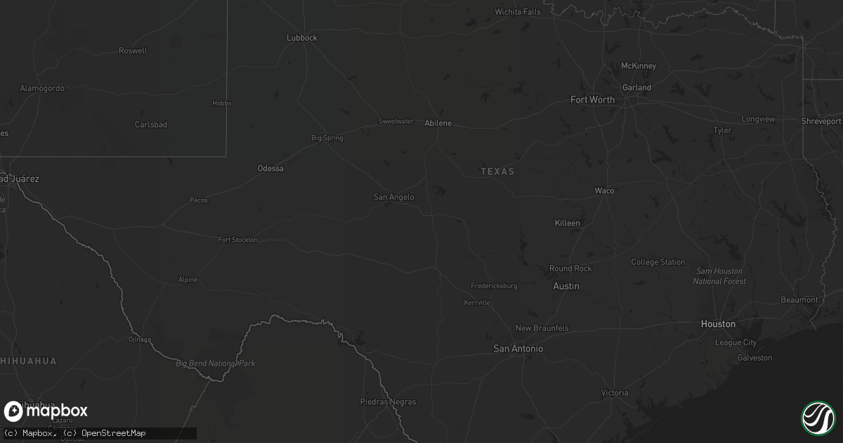
Hail Map in Texas on March 27, 2019
Get this storm
March 27 map
$229
one time, instant access
Download today. No call, no setup
Keep the $229
Bought the map and want the full workflow? Apply the entire $229 to a subscription within 7 days. None of it is wasted.
Every map, not just this one
This buys you this map. Subscription and you get every map we run, in the markets you choose from a few cities to whole states to nationwide. Plus real-time alerts the moment a storm fires.
Contact data
Name, contact info, occupancy, even credit band for addresses in the footprint. You go from where it hit to who to call.
Become the source they trust
Unlimited branding weather history reports on demand. You already have the documented answer ready for the property owner, and you are the one who showed up with it.
Property data and RoofTrace estimates
Pull up any address you have got, its value and the exact code rules for that jurisdiction, straight from One Click Code. Then RoofTrace estimates the squares, pitch, and roof value, priced the way you price.
Storm reports in Texas
Texas
| Date | Description |
|---|---|
| 03/27/20192:34 AM CDT | At 733 PM CDT, a severe thunderstorm was located near Waka, or 12 miles east of Spearman, moving northeast at 15 mph. HAZARD...60 mph wind gusts and quarter size hail. SOURCE...Radar indicated. IMPACT...Minor damage to roofs, siding, and trees is possible. Hail damage to vehicles is expected. Locations impacted include... Perryton, Waka and Farnsworth. |
| 03/26/20198:13 PM CDT | Storm chaser reported mostly nickel but some slightly larger hail at the corner of the 70 and 83 intersection about 7 miles south of perryton. |
| 03/26/20197:35 PM CDT | A local report indicates 1.00 inch wind near 2 WSW FARNSWORTH |
| 03/26/20197:28 PM CDT | Storm chaser sent in a picture of hail the size of a quarter. |
Cities Impacted by Hail Map on March 27, 2019
- Cocoa, FL
- Cocoa Beach, FL
- Patrick Afb, FL
- Rockledge, FL
- Satellite Beach, FL
- Melbourne Beach, FL
- Merritt Island, FL
- Melbourne, FL
- Indialantic, FL
- Aline, OK
- Redding, CA
- Waynoka, OK
- Avon, IL
- Palm Bay, FL
- Edison, NE
- Arapahoe, NE
- Ringwood, OK
- Meno, OK
- Copperopolis, CA
- Malabar, FL
- Grant, FL
- Perryton, TX
- Howey In The Hills, FL
- Leesburg, FL
- Fruitland Park, FL
- Okahumpka, FL
- The Villages, FL
- Groveland, FL
- Orlando, FL


