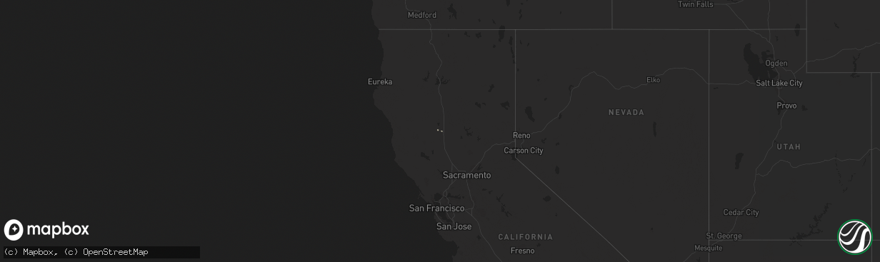
Hail Map in California on March 26, 2014
The weather event in California on March 26, 2014 includes Hail map. 1 state and 1 city were impacted and suffered possible damage. The total estimated number of properties impacted is 0.
Want more than just the map?
Turn this storm into a full workflow.
- Owner + property data so you know who to knock
- OnDemand branded weather history reports to win the "did we even have hail?" argument
- RoofTrace estimate so reps stop guessing numbers at the door
Bought this map? Upgrade within 7 days and we'll credit the $230. (10-15 min setup call)
Hail
0
Estimated number of impacted properties by a 1.00" hail or larger0
Estimated number of impacted properties by a 1.75" hail or larger0
Estimated number of impacted properties by a 2.50" hail or largerStorm reports in California
California
| Date | Description |
|---|---|
| 03/26/20142:26 PM CDT | Ef1 tornado. Time 530 pm to 600 pm pdt. Multiple touchdowns along county road 39 between roads p and tt. Damage path 24 feet wide by 1500 feet long. Winds up to 100 mph |
| 03/25/20147:43 PM CDT | Ef1 tornado. Damage path 24 feet wide by approximately 2500 feet long. Winds up to 100 mph with significant damage to almond orchards and outbuildings. 100+ almond tree |
| 03/25/20147:35 PM CDT | Tornado on ground between willows and glenn. Spotter el34. |
| 03/25/20147:30 PM CDT | Ef1 tornado. Time 530 pm to 600 pm pdt. Multiple touchdowns along county road 39 between roads p and tt. Damage path 24 feet wide by 1500 feet long. Winds up to 100 mph |
| 03/25/20147:30 PM CDT | Ef1 tornadoes. Time 530 pm to 600 pm pdt. Two tornadoes touched down north and south of cr39... Between roads r and tt. Northern tornado... Damage path length approximately ( |


