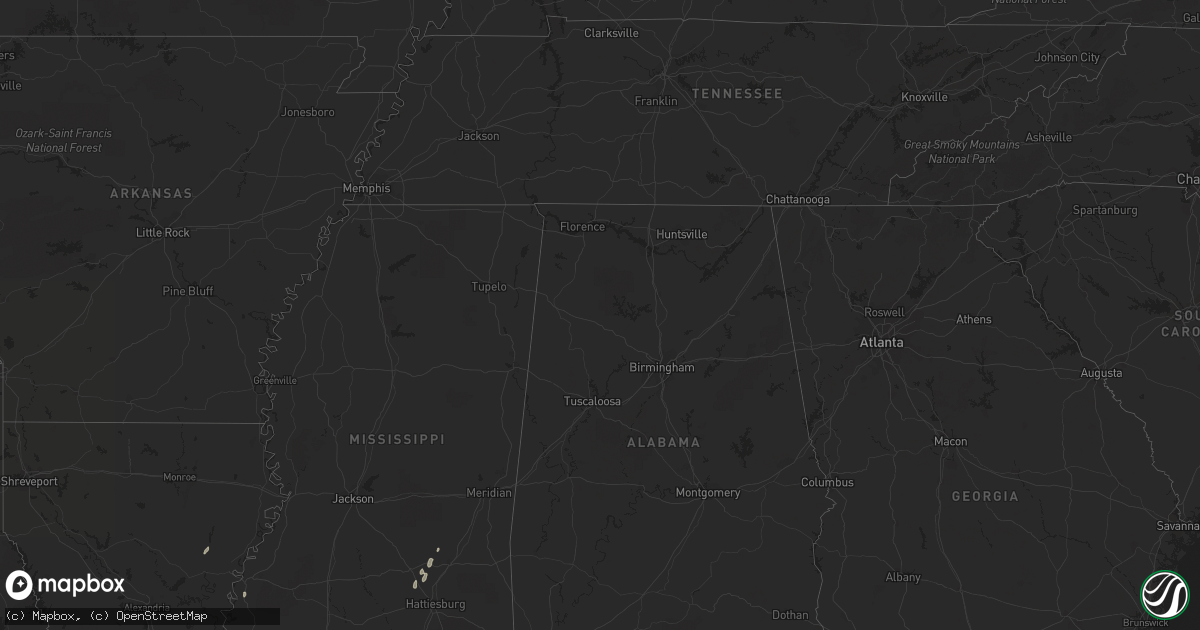
Hail Map in Mississippi on March 21, 2012
Get this storm
March 21 map
$229
one time, instant access
Download today. No call, no setup
Keep the $229
Bought the map and want the full workflow? Apply the entire $229 to a subscription within 7 days. None of it is wasted.
Every map, not just this one
This buys you this map. Subscription and you get every map we run, in the markets you choose from a few cities to whole states to nationwide. Plus real-time alerts the moment a storm fires.
Contact data
Name, contact info, occupancy, even credit band for addresses in the footprint. You go from where it hit to who to call.
Become the source they trust
Unlimited branding weather history reports on demand. You already have the documented answer ready for the property owner, and you are the one who showed up with it.
Property data and RoofTrace estimates
Pull up any address you have got, its value and the exact code rules for that jurisdiction, straight from One Click Code. Then RoofTrace estimates the squares, pitch, and roof value, priced the way you price.
Storm reports in Mississippi
Mississippi
| Date | Description |
|---|---|
| 03/21/20125:31 PM CDT | Nws survey team determined that damage to a chicken farm on huey p road was the result of a brief tornado touchdown. One chicken house roof was heavily damaged and a tr |
| 03/21/20125:30 PM CDT | Chicken houses were damaged along old hickory dr |
| 03/21/20125:25 PM CDT | A local report indicates 1.00 inch wind near 4 SSE SOSO |
| 03/21/20124:02 PM CDT | Trees down near highway 53...lizana school road...and saucier lizana road. |
| 03/21/20124:00 PM CDT | Tornado snapped a number of trees along a path from longleaf dr across eastabuchie road. Minor damage occurred to the roof of a home and fence was damaged by a tree fal |
| 03/21/20124:00 PM CDT | Trees were snapped near the intersection of eastabuchie rd and longleaf dr in northern forrest county |
| 03/21/20123:10 PM CDT | Trees down along callington road |
| 03/21/20123:10 PM CDT | Trees down |
| 03/21/20122:30 PM CDT | Trees were downed and roof damage was reported |
| 03/21/20122:25 PM CDT | Numerous trees down between pineville and louin |
| 03/21/20122:07 PM CDT | Roof completely off of a frame home and numerous trees down along us highway 80. Likely tornado based on radar. |
| 03/21/20122:04 PM CDT | Moved to 6 nw pelahatchie at 214 pm. Path length 6.3 miles...max width 75 yeard. Ef-2 with max est winds 115 mph. One large frame home was heavily damaged and numerous |
| 03/21/201212:30 PM CDT | Power lines and a few trees down |
| 03/21/201211:55 AM CDT | A power pole was downed along whitaker rd near satartia |
| 03/21/201211:25 AM CDT | Power lines downed |
| 03/21/201211:20 AM CDT | A tree was downed on a power line along boy scout rd |
| 03/21/201211:20 AM CDT | Ema reports straight line wind damage with powerlines down... Roof damage to barns... And trees down. |
| 03/21/201211:11 AM CDT | This tornado overturned two trailers...snapped trees and peeled part of a medal roof off a building at the army corps of engineers experimental station. The tornado was |
| 03/21/201210:58 AM CDT | Numerous trees and powerlines down...some trees on houses...roof off at least one building and at least some minor structural damage to a few homes...on east side of vi |
| 03/21/201210:58 AM CDT | Numerous reports of trees and powerlines down with numerous roads blocked. Probable tornado in this area based on radar. |
| 03/21/201210:54 AM CDT | Numerous reports of trees and powerlines down with numerous roads blocked. Mema staff on scene reports numerous trees down in pattern that suggests a tornado...and rada |
| 03/21/201210:53 AM CDT | Trees down across flody road...powerlines doww in area...probable tornado based on radar |
| 03/21/201210:30 AM CDT | Trees down across rodney...russum/westside...and nathan jones roads...possible tornado based on radar |
| 03/21/201210:30 AM CDT | Numerous trees down...one tree fell on a mobile home |
| 03/21/201210:24 AM CDT | Numerous trees down along hwy 33 between fayette and the franklin county line |
| 03/21/201210:23 AM CDT | Nws storm survey team confirmed an ef1 tornado with maximum winds of 94 mph in jefferson county. The tornado tracked 3 miiles along a path which began 1 mile east of mc |
| 03/21/201210:18 AM CDT | Trees down |
| 03/21/201210:10 AM CDT | Numerous trees and powerlines down...3 houses with damage due to trees falling on them...1 mobile home with a tree on it...two sheds with trees on them...nws storm surv |
| 03/21/201210:08 AM CDT | Trees down across hwy 33 |
| 03/21/20125:15 AM CDT | 911 calls reporting damage in the area of highways 67 and 15. Possible tornado. |
| 03/21/20125:10 AM CDT | Nws storm survey confirmed a tornado touched down along hwy 67 at hwy 15. Most of the damage was at the starting point with a large shed door blown in causing roof dama |
| 03/21/20122:05 AM CDT | Several trees reported down from possible tornado. |
| 03/21/201212:35 AM CDT | Nws storm survey confirmed a tornado touched down on john lee road and roberts road. Trees were twisted... A travel trailer was flipped... And several homes lost a port |
| 03/21/201212:25 AM CDT | Along john lee road and roberts road...a 30 foot camper was flipped...trees were twisted and toppled...the roof of a shed was blown off...and a fence anchored in cement |
| 03/20/20129:20 PM CDT | Numerous trees and power lines down along beatline road. |
| 03/20/20129:15 PM CDT | Roof of a house was damaged and a shed was damaged |
| 03/20/20129:03 PM CDT | Nws storm survey determined path of trees snapped and uprooted along county roads 16 and 503 was an ef-0 tornado. Path length 0.5 miles...max width 75 yd...max estimate |
| 03/20/20129:01 PM CDT | Trees were snapped and uprooted along cr 16 east of paulding |
| 03/20/20129:00 PM CDT | Three large trees were downed along ms highway 503 south of paulding |
| 03/20/20128:32 PM CDT | Harrison county em reported minor roof and skirting damage to a mobile home on walnut road near vidalia road. Hail was also reported but unknown size. Sporatic powerlin |
| 03/20/20128:32 PM CDT | Nws survey concluded an ef0 tornado 50 yards wide was on the ground for 1/4 mile. Winds estimated at 70 mph. Damage to a trailer at vidalia and walnut roads. |
| 03/20/20128:30 PM CDT | Power poles down. |
All States Impacted by Hail Map on March 21, 2012
Cities Impacted by Hail Map on March 21, 2012
- Petersburg, VA
- Chesterfield, VA
- Chester, VA
- Livingston, LA
- Nettie, WV
- Leivasy, WV
- Mount Nebo, WV
- Richmond, VA
- Henrico, VA
- Crescent, OK
- Hico, WV
- Robert, LA
- Loranger, LA
- Denham Springs, LA
- Prairieville, LA
- Seminary, MS
- Sicily Island, LA
- Harrisonburg, LA
- Soso, MS
- Taylorsville, MS
- Holden, LA
- Independence, LA
- McKenney, VA
- Franklin, LA
- Jeanerette, LA
- Orlando, OK
- Quinwood, WV
- Franklinton, LA
- Bogalusa, LA
- Collins, MS
- Ellisville, MS
- Amite, LA
- Natchez, MS
- Laurel, MS


