Hail Map in Louisiana on March 21, 2012
Get this storm
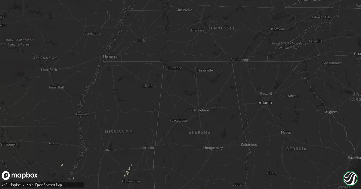
March 21 map
$229
one time, instant access
Download today. No call, no setup
Keep the $229
Bought the map and want the full workflow? Apply the entire $229 to a subscription within 7 days. None of it is wasted.
Every map, not just this one
This buys you this map. Subscription and you get every map we run, in the markets you choose from a few cities to whole states to nationwide. Plus real-time alerts the moment a storm fires.
Contact data
Name, contact info, occupancy, even credit band for addresses in the footprint. You go from where it hit to who to call.
Become the source they trust
Unlimited branding weather history reports on demand. You already have the documented answer ready for the property owner, and you are the one who showed up with it.
Property data and RoofTrace estimates
Pull up any address you have got, its value and the exact code rules for that jurisdiction, straight from One Click Code. Then RoofTrace estimates the squares, pitch, and roof value, priced the way you price.
Storm reports in Louisiana
Louisiana
| Date | Description |
|---|---|
| 03/21/201212:35 PM CDT | Weak ef0 tornado touched down near the intersection of silver springs dr and allen rd. It moved nnw snapping several pine trees. Some roof damage was observed to one ho |
| 03/21/201212:16 PM CDT | A nws storm survey team observed damage produced by a tornado northeast of madisonville. The tornado touched down near the club house in tchefuncta country club estates |
| 03/21/201212:15 PM CDT | Tree down at a wrecker service with fence damaged. Large tree limbs down in area. |
| 03/21/201210:15 AM CDT | A large tree was blown down which heavily damaged the roof of a home. |
| 03/21/201210:09 AM CDT | Roof on house on satsuma road. |
| 03/21/201210:05 AM CDT | Weak tornado touched down just south of varnado road and tracked north-northwest across north corbin road. A home lost a portion of the roof and several trees were snap |
| 03/21/201210:05 AM CDT | Roof blown off of a house on north corbin road. Possible tornado. |
| 03/21/201210:00 AM CDT | Scattered trees down across parish. Possible tornado. |
| 03/21/20129:34 AM CDT | Nws storm survey team confirmed a tornado touched down and tracked through portions of prairieville. The tornado initially touched down along duplessis rd...tracked app |
| 03/21/20129:34 AM CDT | Ema reports roofs off homes...trees down... And power outages. |
| 03/21/20129:15 AM CDT | Trees downed along highway 913 |
| 03/21/20128:50 AM CDT | Trees downed along highway 124 |
| 03/21/20128:38 AM CDT | An ef1 tornado touched down along state route 845 snapping a few trees. The tornado crossed hwy. 126 along mccrary rd. Where most of the damage occurred. 20 homes were |
| 03/21/20128:30 AM CDT | Possible tornado damaged about 20 homes...and downed numerous trees along hwy 126 about 2 miles west of grayson. |
| 03/21/20128:10 AM CDT | Patterson police report structural damage to a church and powerlines down along us 90 and veterans. Time estimated by radar. |
| 03/21/20127:57 AM CDT | Nws storm survey confirmed an ef0 tornado with a path one mile long and forty yards wide. A few trees had limbs snapped off. A large industrial building had its garage |
| 03/21/20127:00 AM CDT | Kalb tv reports trees down and tin wrapped around trees at 2236 smith st in hessmer. |
All States Impacted by Hail Map on March 21, 2012
Cities Impacted by Hail Map on March 21, 2012
- Petersburg, VA
- Chesterfield, VA
- Chester, VA
- Livingston, LA
- Nettie, WV
- Leivasy, WV
- Mount Nebo, WV
- Richmond, VA
- Henrico, VA
- Crescent, OK
- Hico, WV
- Robert, LA
- Loranger, LA
- Denham Springs, LA
- Prairieville, LA
- Seminary, MS
- Sicily Island, LA
- Harrisonburg, LA
- Soso, MS
- Taylorsville, MS
- Holden, LA
- Independence, LA
- McKenney, VA
- Franklin, LA
- Jeanerette, LA
- Orlando, OK
- Quinwood, WV
- Franklinton, LA
- Bogalusa, LA
- Collins, MS
- Ellisville, MS
- Amite, LA
- Natchez, MS
- Laurel, MS


