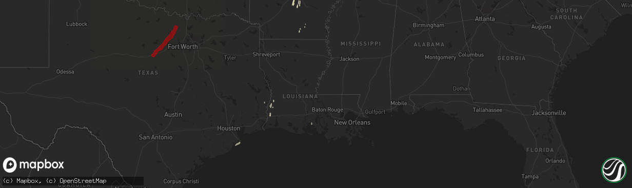
Hail Map in Louisiana on March 20, 2012
The weather event in Louisiana on March 20, 2012 includes Hail map. 6 states and 125 cities were impacted and suffered possible damage. The total estimated number of properties impacted is 0.
Want more than just the map?
Turn this storm into a full workflow.
- Owner + property data so you know who to knock
- OnDemand branded weather history reports to win the "did we even have hail?" argument
- RoofTrace estimate so reps stop guessing numbers at the door
Bought this map? Upgrade within 7 days and we'll credit the $230. (10-15 min setup call)
Hail
0
Estimated number of impacted properties by a 1.00" hail or larger0
Estimated number of impacted properties by a 1.75" hail or larger0
Estimated number of impacted properties by a 2.50" hail or largerStorm reports in Louisiana
Louisiana
| Date | Description |
|---|---|
| 03/20/20125:18 PM CDT | Camper partially overturned at cars plus lot on hwy 171. Radar did show some rotation at that time. |
| 03/20/20125:18 PM CDT | Tractor trailer overturned on 171 and cars tossed around in a parking lot. Radar did show some rotation at that time. |
| 03/20/20123:45 PM CDT | Tree down on hwy 143 near rocky branch blocking both lanes. |
| 03/20/20122:15 PM CDT | Tree down on a house along peace road |
| 03/20/20121:55 PM CDT | Trees down on highways 34 and 1231 converging near winnfield |
| 03/20/20121:45 PM CDT | Trees down on hwy 156 between winnfield and calvin |
| 03/20/20121:40 PM CDT | Trees down on hwy 1233 near calvin |
| 03/20/20121:18 PM CDT | An ef0 tornado touched down along state route 156. Several trees were snapped on both sides of the road with powerlines downed. More trees were downed on railroad track |
| 03/20/20121:15 PM CDT | Trees down and power outages reported on hwy 156 near goldonna |
| 03/20/20121:00 PM CDT | Trees down on hwy 155 near ashland |
| 03/20/201212:30 PM CDT | Trees down on hwy 117 near provencal |
| 03/20/201212:15 PM CDT | Trees down on hwy 487 near marthaville |
| 03/20/201212:15 PM CDT | Numerous trees and power lines down in mount carmel |
| 03/20/201212:00 PM CDT | Trees down and power out century road and plainview road areas |
| 03/20/201211:41 AM CDT | An ef0 tornado touched down along hwy. 1215. Several trees were snapped and uprooted and a few powerlines were downed. The tornado continued northeast crossing hwy. 120 |
| 03/20/201211:35 AM CDT | Possible tornado. Multiple trees and powerlines down along hwy 1215 and 120 near the belmont area. |
| 03/20/20126:05 AM CDT | Public reports an estimated wind gust of 60 mph near abbeville. |
| 03/20/20126:00 AM CDT | Klfy reports powerlines down along highway 82 near perry |
| 03/20/20125:52 AM CDT | Debris on south henry rd near the abbeville airport. A vehicle struck a tree on the roadway. A shed was also destroyed. |
| 03/20/20125:52 AM CDT | Debris and trees reported on the perry bridge. |
| 03/20/20125:45 AM CDT | Nws storm survey confirmed an ef 1 tornado touchdown along rice cove and chaisson roads. The path was 1.5 miles long and the path width was 20 yards wide. A garage was |
| 03/20/20125:35 AM CDT | Nws storm survey confirmed an ef 0 tornado touchdown about one and a half miles west of henry. Path length was 1 mile and path width was 20 yards. Damage included a roo |
| 03/20/20125:25 AM CDT | Kplc tv relayed a public report of roofs blown off of homes and numerous powerlines down in lake arthur. The main street in lake arthur is blocked |
| 03/20/20125:13 AM CDT | Vermillion sheriff reports a house destroyed at 600 garland st in gueydan due to a possible tornado touchdown. |
| 03/20/20124:45 AM CDT | *** 1 inj *** nws storm survey confirms an ef 1 tornado touchdown one mile south of gueydan along la 91. The path length was 3 miles with a width of 40 yards. Damage in |
| 03/20/20124:33 AM CDT | Kplc-tv relayed public report of quarter size hail near 1-10 and jennings. |
| 03/20/20124:30 AM CDT | Nws storm survey confirms an ef 1 tornado touchdown just south of lake arthur. The tornado traveled north through the city of lake arthur on a two mile long path. Path |
| 03/20/20123:15 AM CDT | An ef0 tornado briefly touched down along hwy. 499. A few trees were snapped on the west side of the hwy. Near parish road 1134 and hwy. 499 intersection. The tornado w |
| 03/19/20129:29 PM CDT | An ef0 tornado touched down near the cedar grove mobile home park. A tree was snapped along hwy. 484 leading east into the mobile home park. 3 homes sustained damage wi |
All States Impacted by Hail Map on March 20, 2012
Cities Impacted by Hail Map on March 20, 2012
- McGaheysville, VA
- Keezletown, VA
- Linville, VA
- Broadway, VA
- Shenandoah, VA
- Elkton, VA
- Harrisonburg, VA
- Advance, NC
- Mocksville, NC
- Blanch, NC
- Yanceyville, NC
- Prattsville, AR
- Pelham, NC
- Ruffin, NC
- Providence, NC
- Warren, AR
- Moneta, VA
- Bedford, VA
- New Iberia, LA
- Long Island, VA
- Nathalie, VA
- Wirtz, VA
- Union Hall, VA
- Concord, VA
- Spout Spring, VA
- Appomattox, VA
- Gretna, VA
- Chatham, VA
- Sevierville, TN
- Dandridge, TN
- Rockford, TN
- Knoxville, TN
- Walland, TN
- Townsend, TN
- Mooresville, NC
- Hurt, VA
- Altavista, VA
- Louisburg, NC
- Blairs, VA
- Danville, VA
- Dry Fork, VA
- Hardy, VA
- Bridgewater, VA
- Merryville, LA
- Spring City, TN
- Chocowinity, NC
- Brookneal, VA
- Summerfield, NC
- Eden, NC
- Reidsville, NC
- Sheridan, AR
- Winston Salem, NC
- Martinsville, VA
- Youngsville, NC
- Zebulon, NC
- Vinton, LA
- Henrico, VA
- Cascade, VA
- Kannapolis, NC
- Manakin Sabot, VA
- Lynchburg, VA
- Leola, AR
- El Dorado, AR
- Jersey, AR
- Strong, AR
- Evington, VA
- Lynch Station, VA
- Clinton, TN
- Yadkinville, NC
- Galveston, TX
- Alton, VA
- Granite Falls, NC
- Vesuvius, VA
- Huddleston, VA
- Singer, LA
- Ten Mile, TN
- Morganton, NC
- Keeling, VA
- Buchanan, VA
- Gladys, VA
- Powhatan, VA
- Newton, TX
- Kirbyville, TX
- Grapevine, AR
- Clinton, AR
- Niota, TN
- Hermitage, AR
- Marshall, NC
- Hot Springs, NC
- Burnsville, NC
- Mars Hill, NC
- Del Rio, TN
- Murphy, NC
- Turtletown, TN
- Farner, TN
- Franklin, NC
- Marble, NC
- Sylva, NC
- Topton, NC
- Cullowhee, NC
- Andrews, NC
- Hayesville, NC
- Tuckasegee, NC
- Gordon, TX
- Ranger, TX
- Perrin, TX
- Santo, TX
- Weatherford, TX
- Sunset, TX
- Graford, TX
- Mineral Wells, TX
- Jacksboro, TX
- Paradise, TX
- Poolville, TX
- Springtown, TX
- Mingus, TX
- Forestburg, TX
- Bridgeport, TX
- Chico, TX
- Strawn, TX
- Palo Pinto, TX
- Millsap, TX
- Decatur, TX
- Alvord, TX
- Whitt, TX


