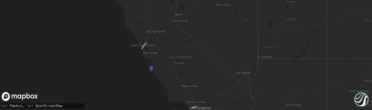
Hail Map in California on March 12, 2025
The weather event in California on March 12, 2025 includes Hail and Wind maps. 4 states and 78 cities were impacted and suffered possible damage. The total estimated number of properties impacted is 0.
Want more than just the map?
Turn this storm into a full workflow.
- Owner + property data so you know who to knock
- OnDemand branded weather history reports to win the "did we even have hail?" argument
- RoofTrace estimate so reps stop guessing numbers at the door
Bought this map? Upgrade within 7 days and we'll credit the $230. (10-15 min setup call)
Hail
Wind
0
Estimated number of impacted properties by a 1.00" hail or larger0
Estimated number of impacted properties by a 1.75" hail or larger0
Estimated number of impacted properties by a 2.50" hail or largerStorm reports in California
California
| Date | Description |
|---|---|
| 03/12/20255:30 PM CDT | Old coast tower mesonet. |
| 03/12/20254:36 PM CDT | Weather station in pacifica reported a 61mph wind gust. |
| 03/12/20254:30 PM CDT | Mesonet station 180pg sweeney ridge. |
| 03/12/20254:24 PM CDT | Spotter reported strong winds which caused the damage to their play structure. The secured top was blown off and over the fence... The first time it happened in 30 year |
| 03/12/20254:20 PM CDT | Mesonet station pg784 lake drive. |
| 03/12/20255:30 AM CDT | Tree down on lanes of interstate 605 near whittier blvd. |
| 03/12/20255:15 AM CDT | Multiple trees down on cars. Several trunks split in half. Possible tornado. |
| 03/12/20255:15 AM CDT | Shingles torn off roof. Power line downed by winds. Possible tornado. |
| 03/12/20254:01 AM CDT | Mesonet station cw2995 redondo beach. |
| 03/12/20253:54 AM CDT | Mesonet station dw2363 saddle peak. |
| 03/11/202511:25 PM CDT | Window broken by damaging winds at the engine bay of the national forest service station on figueroa mountain road. |
| 03/11/20258:20 PM CDT | Large tree branch down on ranchita canyon rd near cross canyons rd. |
| 03/11/20257:22 PM CDT | Tree blocking old foresthill road / sr49. |
All States Impacted by Hail Map on March 12, 2025
Cities Impacted by Hail Map on March 12, 2025
- Blooming Grove, TX
- Italy, TX
- Frost, TX
- Prairie Hill, TX
- Mart, TX
- Groesbeck, TX
- Rosebud, TX
- Lott, TX
- Mexia, TX
- Franklin, TX
- Marquez, TX
- Normangee, TX
- Lincoln, TX
- Giddings, TX
- Madisonville, TX
- Dime Box, TX
- Paige, TX
- Smithville, TX
- Ledbetter, TX
- Carmine, TX
- La Grange, TX
- Burton, TX
- Round Top, TX
- Amity, AR
- Benton, AR
- Bryant, AR
- Alexander, AR
- Little Rock, AR
- Scott, AR
- England, AR
- North Little Rock, AR
- Lonoke, AR
- Cabot, AR
- Austin, AR
- Jacksonville, AR
- Carlisle, AR
- Ward, AR
- Hazen, AR
- Griffithville, AR
- Searcy, AR
- Helena, AR
- Holly Grove, AR
- Dundee, MS
- Des Arc, AR
- Brinkley, AR
- Moro, AR
- Aubrey, AR
- West Helena, AR
- Myrtle, MS
- Montara, CA
- Half Moon Bay, CA
- Moss Beach, CA
- Pacifica, CA
- Daly City, CA
- San Bruno, CA
- South San Francisco, CA
- Brisbane, CA
- San Francisco, CA
- Millbrae, CA
- Alameda, CA
- Berkeley, CA
- Emeryville, CA
- Oakland, CA
- Orinda, CA
- Martinez, CA
- Big Sur, CA
- Carmel, CA
- Salinas, CA
- Carmel Valley, CA
- Malibu, CA
- Pacific Palisades, CA
- Calabasas, CA
- Agoura Hills, CA
- Topanga, CA
- Woodland Hills, CA
- Tarzana, CA
- Encino, CA
- Los Angeles, CA


