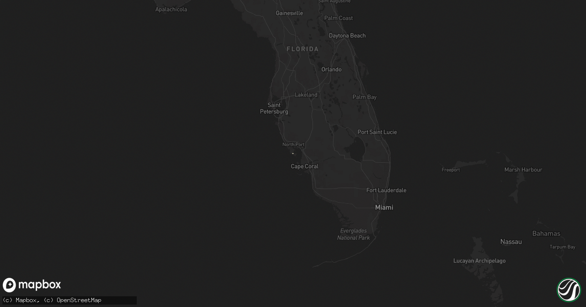
Hail Map in Florida on March 10, 2011
Get this storm
March 10 map
$229
one time, instant access
Download today. No call, no setup
Keep the $229
Bought the map and want the full workflow? Apply the entire $229 to a subscription within 7 days. None of it is wasted.
Every map, not just this one
This buys you this map. Subscription and you get every map we run, in the markets you choose from a few cities to whole states to nationwide. Plus real-time alerts the moment a storm fires.
Contact data
Name, contact info, occupancy, even credit band for addresses in the footprint. You go from where it hit to who to call.
Become the source they trust
Unlimited branding weather history reports on demand. You already have the documented answer ready for the property owner, and you are the one who showed up with it.
Property data and RoofTrace estimates
Pull up any address you have got, its value and the exact code rules for that jurisdiction, straight from One Click Code. Then RoofTrace estimates the squares, pitch, and roof value, priced the way you price.
Storm reports in Florida
Florida
| Date | Description |
|---|---|
| 03/10/201111:20 AM CST | Amateur radio reports indicate trees down and construction debris around sw 9th st and sw 36th ct in miami. |
| 03/10/201111:19 AM CST | Interserction of rickenbacker causeway and us 1. Noaa hrd employee reported spinning debris and car shaking with funnel cloud touching down over land in the vicinity of |
| 03/10/201111:05 AM CST | A brief tornado touchdown was observed in a parking lot at fort lauderdale hollywood international airport. A light pole and a couple of signs were knocked down. No oth |
| 03/10/201111:03 AM CST | A local report indicates 70 MPH wind near DORAL |
| 03/10/201111:01 AM CST | Measured at fort lauderdale executive airport - kfxe. |
| 03/10/201110:40 AM CST | Retired nws employee reported uprooted ficus tree... Approx. 3 feet in diameter...at the flamingo lakes golf course. Estimated winds of 60 mph. |


