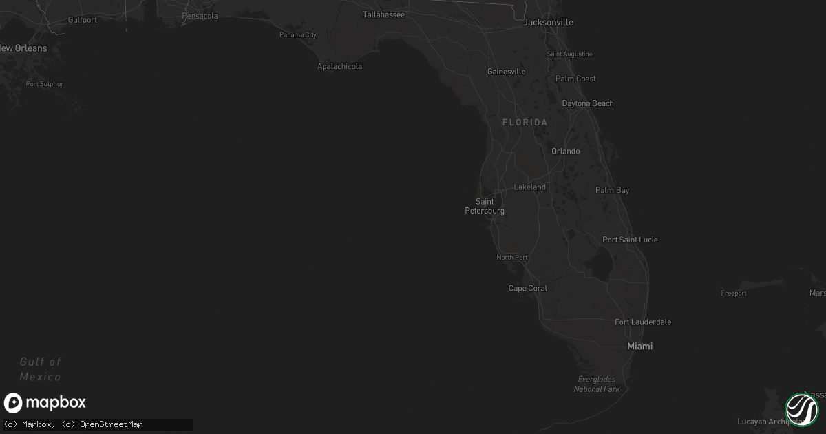
Hail Map in Florida on March 3, 2016
Get this storm
March 3 map
$229
one time, instant access
Download today. No call, no setup
Keep the $229
Bought the map and want the full workflow? Apply the entire $229 to a subscription within 7 days. None of it is wasted.
Every map, not just this one
This buys you this map. Subscription and you get every map we run, in the markets you choose from a few cities to whole states to nationwide. Plus real-time alerts the moment a storm fires.
Contact data
Name, contact info, occupancy, even credit band for addresses in the footprint. You go from where it hit to who to call.
Become the source they trust
Unlimited branding weather history reports on demand. You already have the documented answer ready for the property owner, and you are the one who showed up with it.
Property data and RoofTrace estimates
Pull up any address you have got, its value and the exact code rules for that jurisdiction, straight from One Click Code. Then RoofTrace estimates the squares, pitch, and roof value, priced the way you price.
Storm reports in Florida
Florida
| Date | Description |
|---|---|
| 03/02/201610:36 PM CST | Two trees...one of them small...down at old blue springs road and rutherford road. |
| 03/02/201610:35 PM CST | Public report relayed through wctv of roof and tree damage along surf road about one-half mile west of angelos restaurant. Picture submitted showing part of a roof blow |
| 03/02/201610:30 PM CST | Several trees down across the county |
| 03/02/201610:11 PM CST | One tree down on hwy 90 about three miles west of greenvile. |
| 03/02/201610:05 PM CST | Trees or limbs down on power line resulting in a power outage. Reported on duke energy outage website |
| 03/02/20169:46 PM CST | Tree down on power line causing fire at thorton road and mahan dr |
| 03/02/20169:45 PM CST | Tree down on miccosukee road at edenfield road |
| 03/02/20169:38 PM CST | One tree down at fermanagh drive and waterford drive. |
| 03/02/20169:25 PM CST | Tree down on highway 12 |
| 03/02/20168:15 PM CST | Public report of trees down in jacobs. |
| 03/02/20168:00 PM CST | Couple of trees down in westville. |
| 03/02/20167:45 PM CST | Tree down along county highway 1883 near blue pond lane. |
| 03/02/20167:45 PM CST | Tree down along boyscout road near bob sikes road |
| 03/02/20167:10 PM CST | At least 8 large oak trees reported down near lake silver rd...mcdonald rd and genevieve way. Relayed via social media. |
All States Impacted by Hail Map on March 3, 2016
Cities Impacted by Hail Map on March 3, 2016
- Luverne, AL
- Rutledge, AL
- Greenville, AL
- Ethel, MS
- Kosciusko, MS
- Durant, MS
- West, MS
- Mayersville, MS
- Goshen, AL
- Glenwood, AL
- Lexington, MS
- Cruger, MS
- Tallulah, LA
- Lake Providence, LA
- Vicksburg, MS
- Lake City, FL
- Fargo, GA
- Jasper, FL
- Troy, AL
- Brantley, AL
- Transylvania, LA
- Florence, MS
- McHenry, MS
- Itta Bena, MS
- Indianola, MS
- Inverness, MS
- Moorhead, MS
- Crestview, FL
- Taylorsville, MS
- Raleigh, MS
- Poplarville, MS
- Bay Springs, MS
- Baker, FL
- Louisville, MS
- Greenville, MS
- Leland, MS
- Tchula, MS
- Oak Grove, LA
- Jennings, FL
- Valley Park, MS
- Sondheimer, LA
- Byram, MS
- Utica, MS
- Terry, MS
- Raymond, MS
- Hazlehurst, MS
- Noxapater, MS
- McCool, MS
- Ariton, AL
- Skipperville, AL
- Abbeville, AL
- Honoraville, AL
- Jack, AL
- Midland City, AL
- Brundidge, AL
- Ozark, AL
- Newville, AL


