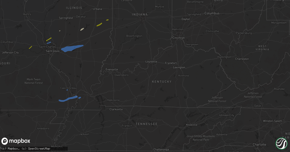
Hail Map in Kentucky on February 22, 2023
Get this storm
February 22 map
$229
one time, instant access
Download today. No call, no setup
Keep the $229
Bought the map and want the full workflow? Apply the entire $229 to a subscription within 7 days. None of it is wasted.
Every map, not just this one
This buys you this map. Subscription and you get every map we run, in the markets you choose from a few cities to whole states to nationwide. Plus real-time alerts the moment a storm fires.
Contact data
Name, contact info, occupancy, even credit band for addresses in the footprint. You go from where it hit to who to call.
Become the source they trust
Unlimited branding weather history reports on demand. You already have the documented answer ready for the property owner, and you are the one who showed up with it.
Property data and RoofTrace estimates
Pull up any address you have got, its value and the exact code rules for that jurisdiction, straight from One Click Code. Then RoofTrace estimates the squares, pitch, and roof value, priced the way you price.
Storm reports in Kentucky
Kentucky
| Date | Description |
|---|---|
| 02/22/20233:55 PM CST | Power outages along old dukedom road. |
| 02/22/20233:55 PM CST | Tree down in yard in symsonia area. |
| 02/22/20233:55 PM CST | Utility pole down along epperson road in reidland. |
| 02/22/20233:52 PM CST | Estimated 60 mph wind gusts reported from retired nws employee. |
| 02/22/20233:38 PM CST | Tree blocking road on mckendree church road at intersection with childress road. |
| 02/22/20233:35 PM CST | Over 800 customers without power throughout hickman county. |
| 02/22/20233:35 PM CST | Tree down blocking massey road at bethel church road in far western mccracken county. |
| 02/22/20233:25 PM CST | Tree fell on house along bethlehem church road southeast of wickliffe. |
Cities Impacted by Hail Map on February 22, 2023
- Jerseyville, IL
- Grafton, IL
- Dow, IL
- Warrenton, MO
- Marthasville, MO
- Fort Mcdowell, AZ
- Paradise Valley, AZ
- Phoenix, AZ
- Tempe, AZ
- Scottsdale, AZ
- Charleston, IL
- Mesa, AZ
- Fountain Hills, AZ
- Ashmore, IL
- Oakland, IL
- Westfield, IL
- Martinsville, IL
- Kansas, IL
- Carlinville, IL
- Tower Hill, IL
- Shelbyville, IL
- Girard, IL
- Palmyra, IL
- Lakewood, IL
- Findlay, IL
- Sullivan, IL
- Saint Charles, MO
- Portage Des Sioux, MO
- Elsah, IL
- Saint Jacob, IL
- Troy, IL
- Lebanon, IL
- Trenton, IL
- Highland, IL
- Aviston, IL
- Essex, MO
- Dexter, MO
- Bloomfield, MO
- Sikeston, MO
- Breese, IL
- Carlyle, IL
- Pocahontas, IL
- Greenville, IL
- Keyesport, IL
- Patoka, IL
- Vandalia, IL
- Vernon, IL
- Bertrand, MO
- Charleston, MO
- Scott City, MO
- Chaffee, MO
- Barlow, KY
- Cairo, IL
- Alma, IL
- Saint Peter, IL
- Shobonier, IL
- Kinmundy, IL
- Wickliffe, KY
- Bardwell, KY
- Paris, IL
- Chrisman, IL
- Golden Eagle, IL
- O'Fallon, MO
- Humboldt, IL
- Waggoner, IL


