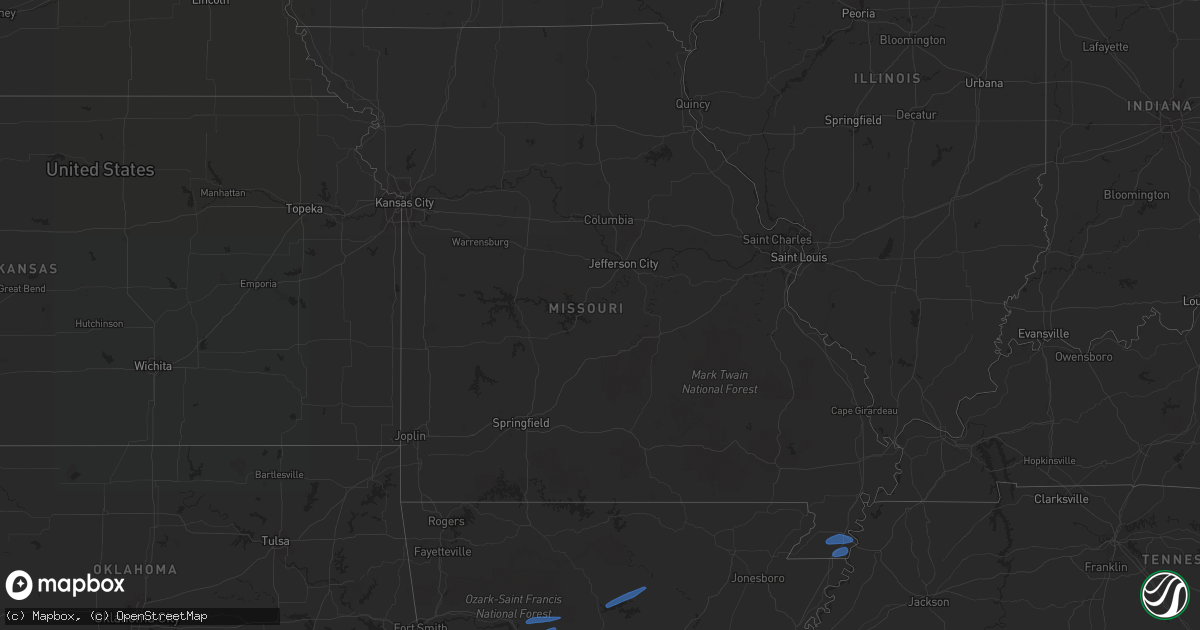
Hail Map in Missouri on February 21, 2022
Get this storm
February 21 map
$229
one time, instant access
Download today. No call, no setup
Keep the $229
Bought the map and want the full workflow? Apply the entire $229 to a subscription within 7 days. None of it is wasted.
Every map, not just this one
This buys you this map. Subscription and you get every map we run, in the markets you choose from a few cities to whole states to nationwide. Plus real-time alerts the moment a storm fires.
Contact data
Name, contact info, occupancy, even credit band for addresses in the footprint. You go from where it hit to who to call.
Become the source they trust
Unlimited branding weather history reports on demand. You already have the documented answer ready for the property owner, and you are the one who showed up with it.
Property data and RoofTrace estimates
Pull up any address you have got, its value and the exact code rules for that jurisdiction, straight from One Click Code. Then RoofTrace estimates the squares, pitch, and roof value, priced the way you price.
Storm reports in Missouri
Missouri
| Date | Description |
|---|---|
| 02/21/20225:55 AM CST | Small portion of large metal building collapsed with many of the roof metal sheets blown off. Several houses/buildings with some shingles blown off. Minor tree damage w |
| 02/21/20225:54 AM CST | A few outbuildings had shingles removed from their roofs. Large barns suffered roof damage. Minor siding and roof damage to a few homes. A few large tree limbs downed. |
| 02/21/20225:32 AM CST | Roof blown off a building on highway 25 just north of malden. |
| 02/21/20225:31 AM CST | Tree fell onto house off highway j. Additionally... A motorist driving down highway j had a tree fall on their car. No injuries. |
| 02/21/20225:30 AM CST | 8-10 inch diameter tree... 20 feet long... Fallen onto hwy u. |
| 02/21/20225:24 AM CST | Multiple trees down on highway ww just north of campbell. |
| 02/21/20225:12 AM CST | An nws storm damage survey found a microburst with winds of 80 to 90 mph struck southeast butler county early tuesday morning between 512 and 518 am cst. The microburst |
Cities Impacted by Hail Map on February 21, 2022
- Jacksboro, TX
- Commerce, TX
- Klondike, TX
- Ladonia, TX
- Pecan Gap, TX
- Enloe, TX
- Cooper, TX
- Lake Creek, TX
- Wolfe City, TX
- Greenville, TX
- Farmersville, TX
- Celeste, TX
- Perrin, TX
- Graford, TX
- Moran, TX
- Rhome, TX
- Decatur, TX
- Era, TX
- Muenster, TX
- Alvord, TX
- Rosston, TX
- Sunset, TX
- Saint Jo, TX
- Forestburg, TX
- Winters, TX
- Strawn, TX
- Ranger, TX
- Paris, TX
- Powderly, TX
- Mineral Wells, TX
- Breckenridge, TX
- Graham, TX
- Allen, TX
- Princeton, TX
- Cisco, TX
- Paradise, TX
- Wylie, TX
- Poolville, TX
- Weatherford, TX
- Palo Pinto, TX
- Cross Plains, TX
- Gordon, TX
- Novice, TX
- Eastland, TX
- Clyde, TX
- Rising Star, TX
- Coleman, TX
- Abilene, TX
- Burkett, TX
- Baird, TX
- Goldsboro, TX
- Atoka, OK
- Coleman, OK
- Kenefic, OK
- Mckinney, TX
- Plano, TX
- Lawn, TX
- Ovalo, TX
- Springtown, TX
- Newark, TX
- Haslet, TX
- Sanger, TX
- Krum, TX
- Bridgeport, TX
- Bryson, TX
- Chico, TX
- Bowie, TX
- Lake Dallas, TX
- Frisco, TX
- Lewisville, TX
- Little Elm, TX
- Argyle, TX
- Flower Mound, TX
- South Bend, TX
- Ponder, TX
- Boyd, TX
- Shabbona, IL
- Waterman, IL
- Lee, IL
- Ravenna, TX
- Savoy, TX
- Carlsbad, TX
- Robert Lee, TX
- Millsap, TX
- Justin, TX
- Maple Park, IL
- Dekalb, IL
- Prosper, TX
- Bronte, TX
- Norton, TX
- Roanoke, TX
- Fort Worth, TX
- Denton, TX
- Ballinger, TX
- Santo, TX
- The Colony, TX
- Anna, TX
- Whitt, TX
- Melissa, TX
- Blue Ridge, TX
- Carrollton, TX
- Leonard, TX
- Valley View, TX
- Azle, TX
- Gainesville, TX
- Dallas, TX
- Tuscola, TX
- Sumner, TX
- Tioga, TX
- Coppell, TX
- Irving, TX
- Keller, TX
- Bonham, TX
- Albany, TX
- Howe, TX
- Pilot Point, TX
- Whitesboro, TX
- Collinsville, TX
- Madill, OK
- Paw Paw, IL
- Bells, TX
- Gunter, TX
- Trenton, TX
- Danville, AR
- Booneville, AR
- Russellville, AR
- Havana, AR
- Pottsville, AR
- Dardanelle, AR
- Belleville, AR
- Atkins, AR
- Dover, AR
- Hector, AR
- Shirley, AR
- Prim, AR
- Drasco, AR
- Edgemont, AR
- Mountain View, AR
- Fairfield Bay, AR
- Caruthersville, MO
- Hayti, MO
- Gobler, MO
- Steele, MO
- Bragg City, MO
- Cooter, MO
- Durant, OK
- Milburn, OK
- Caney, OK
- Caddo, OK
- Daisy, OK
- Stringtown, OK
- Aubrey, TX
- Pattonville, TX


