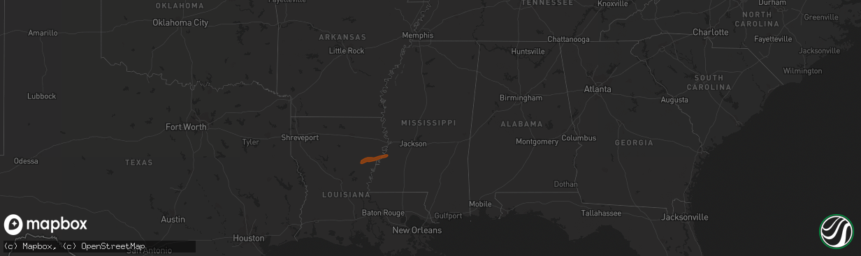
Hail Map in Mississippi on February 12, 2013
The weather event in Mississippi on February 12, 2013 includes Hail map. 2 states and 10 cities were impacted and suffered possible damage. The total estimated number of properties impacted is 175.
Want more than just the map?
Turn this storm into a full workflow.
- Owner + property data so you know who to knock
- OnDemand branded weather history reports to win the "did we even have hail?" argument
- RoofTrace estimate so reps stop guessing numbers at the door
Bought this map? Upgrade within 7 days and we'll credit the $230. (10-15 min setup call)
Hail
175
Estimated number of impacted properties by a 1.00" hail or larger0
Estimated number of impacted properties by a 1.75" hail or larger0
Estimated number of impacted properties by a 2.50" hail or largerStorm reports in Mississippi
Mississippi
| Date | Description |
|---|---|
| 02/12/201312:53 PM CST | Reported through social media |
| 02/12/201312:22 PM CST | A local report indicates 1.00 inch wind near BYRAM |
| 02/12/201312:05 PM CST | Hail ranging from pea to quarter size |


