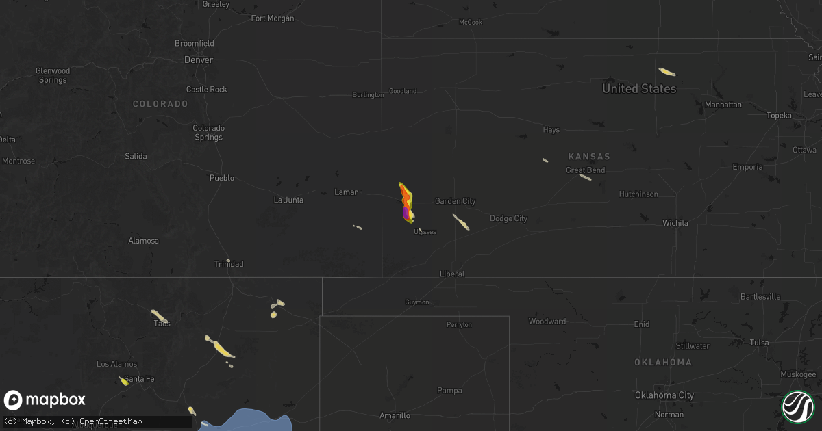
Hail Map on June 15, 2026
Get this storm
June 15 map
$229
one time, instant access
Download today. No call, no setup
Keep the $229
Bought the map and want the full workflow? Apply the entire $229 to a subscription within 7 days. None of it is wasted.
Every map, not just this one
This buys you this map. Subscription and you get every map we run, in the markets you choose from a few cities to whole states to nationwide. Plus real-time alerts the moment a storm fires.
Contact data
Name, contact info, occupancy, even credit band for addresses in the footprint. You go from where it hit to who to call.
Become the source they trust
Unlimited branding weather history reports on demand. You already have the documented answer ready for the property owner, and you are the one who showed up with it.
Property data and RoofTrace estimates
Pull up any address you have got, its value and the exact code rules for that jurisdiction, straight from One Click Code. Then RoofTrace estimates the squares, pitch, and roof value, priced the way you price.
States Impacted by Hail Map on June 15, 2026
Storm reports
Texas
| Date | Description |
|---|---|
| 06/14/20269:57 PM CDT | Mping report of shingles blown off roof. |
| 06/14/20267:48 PM CDT | Three power poles snapped along fm 1731. Time estimated. |
New Mexico
| Date | Description |
|---|---|
| 06/15/20266:14 PM CDT | Trained spotter estimated 50 to 65 mph wind gusts... With blowing dust. |
| 06/15/20266:12 PM CDT | Asos station ktcc tucumcari muni airport. |
| 06/15/20264:57 PM CDT | Estimated 50-60mph wind gusts associated with thunderstorm. |
| 06/15/20264:35 PM CDT | Mesonet station tccn5 thompson cattle. |
| 06/15/20262:40 PM CDT | A few 8 inch or larger poplar tree limbs down over power lines near camino de la placita and beimer ave. Power crews working on lines. |
Minnesota
| Date | Description |
|---|---|
| 06/15/20266:42 PM CDT | Delayed report... Time estimated from radar. Public works reported tree down near dalbo mn. |
| 06/15/20266:20 PM CDT | U.s. 169 mndot sensor measured a 67 mph wind gust near mp 200. |
| 06/14/202610:42 PM CDT | Most hail around half inch size... But some as large as nickels and quarters. |
| 06/14/20267:05 PM CDT | Delayed report... Time estimated from radar. Public works reported tree down near stanchfield mn. |
South Dakota
| Date | Description |
|---|---|
| 06/15/20265:24 PM CDT | Mesonet station 292 milbank 7ne |
| 06/15/20265:00 PM CDT | Mesonet station 143 peever 6 ssw |
| 06/15/20264:48 PM CDT | Mesonet station 55 summit |
| 06/15/20264:40 PM CDT | Mesonet station shss2 south shore 8 w |
| 06/15/20264:24 PM CDT | Mesonet station 182 waubay |
| 06/15/20264:08 PM CDT | A local report indicates 63 MPH wind near 3 NNW Wolsey |
| 06/15/20263:42 PM CDT | Public report on facebook... With photo of a dumpster having been blown over by the winds. Time estimated by radar. |
| 06/15/20263:40 PM CDT | Mesonet station rhms2 rockham 6sse |
| 06/15/20263:24 PM CDT | Mesonet station 158 miranda |
| 06/15/20263:15 PM CDT | A local report indicates 59 MPH wind near 4 ESE Faulkton |
| 06/15/20263:14 PM CDT | Mesonet station 215 polo 17 w jct sd47/sd26 |
| 06/15/20263:05 PM CDT | Mesonet station onms2 onida 13wsw |
| 06/15/20262:47 PM CDT | Mesonet station 325 seneca 5w |
| 06/15/20261:50 PM CDT | Mesonet station mcms2 mound city 4 sw |
| 06/15/20261:39 PM CDT | Asos station kmbg mobridge muni ap. |
| 06/15/20261:09 PM CDT | Mesonet station 205 mclaughlin |
Florida
| Date | Description |
|---|---|
| 06/15/202611:48 AM CDT | Tree reported down on russ road. |
Cities Impacted by Hail Map on June 15, 2026
- Langdon, ND
- Arroyo Hondo, NM
- Ojo Caliente, NM
- Santa Fe, NM
- El Prado, NM
- Arroyo Seco, NM
- Taos, NM
- Trinidad, CO
- Prescott, AZ
- Regan, ND
- Wagon Mound, NM
- Pass Christian, MS
- Saucier, MS
- Gulfport, MS
- Yarnell, AZ
- New Salem, ND
- Las Vegas, NM
- Yeso, NM
- Flasher, ND
- Des Moines, NM
- Crown King, AZ
- Grenville, NM
- Santa Rosa, NM
- Fort Sumner, NM
- Cuervo, NM
- Tucumcari, NM
- Newkirk, NM
- Garita, NM
- Conchas Dam, NM
- Anton Chico, NM
- House, NM
- Congress, AZ
- Mcalister, NM
- Melrose, NM
- Grady, NM
- Maricopa, AZ
- Kirkland, AZ
- Clovis, NM
- Cannon Afb, NM
- Cogswell, ND
- Sisseton, SD
- Eden, SD
- Lake City, SD
- Corona, SD
- Big Stone City, SD
- Milbank, SD
- Boyd, MN
- Madison, MN
- Dawson, MN
- Clarkfield, MN
- Minneota, MN
- Syracuse, KS
- Cottonwood, MN
- Marshall, MN
- Hanley Falls, MN
- Kendall, KS
- Wood Lake, MN
- Johnson, KS
- Rush Center, KS
- La Crosse, KS
- Nekoma, KS
- Vesta, MN
- Great Bend, KS
- Ellinwood, KS
- Hudson, KS
- St John, KS
- Garden City, KS
- Sublette, KS
- Copeland, KS
- Concordia, KS
- Clyde, KS
- Clifton, KS
- Jamesport, MO
- Burlington, IA