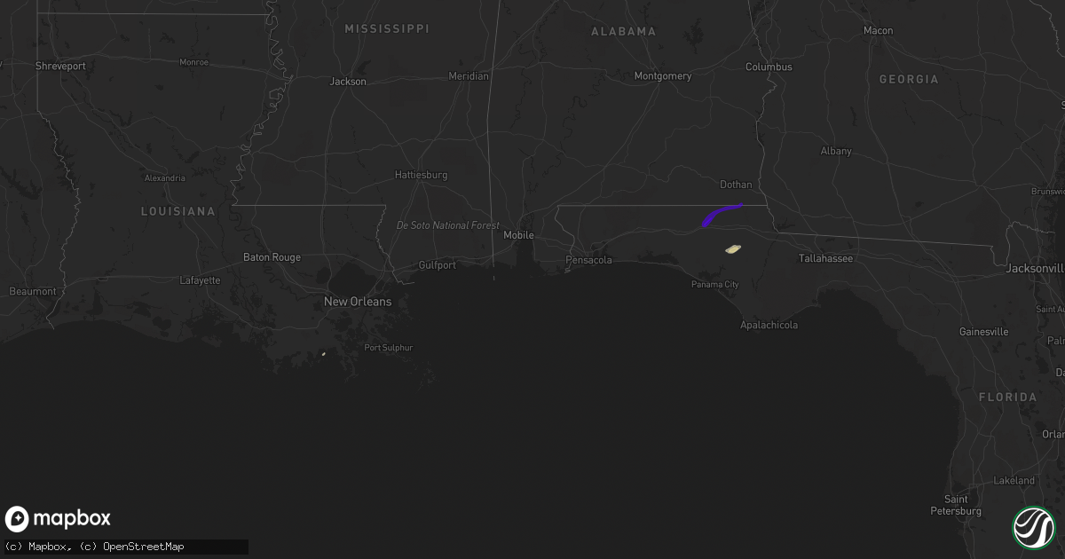
Hail Map in Florida on February 10, 2018
Get this storm
February 10 map
$229
one time, instant access
Download today. No call, no setup
Keep the $229
Bought the map and want the full workflow? Apply the entire $229 to a subscription within 7 days. None of it is wasted.
Every map, not just this one
This buys you this map. Subscription and you get every map we run, in the markets you choose from a few cities to whole states to nationwide. Plus real-time alerts the moment a storm fires.
Contact data
Name, contact info, occupancy, even credit band for addresses in the footprint. You go from where it hit to who to call.
Become the source they trust
Unlimited branding weather history reports on demand. You already have the documented answer ready for the property owner, and you are the one who showed up with it.
Property data and RoofTrace estimates
Pull up any address you have got, its value and the exact code rules for that jurisdiction, straight from One Click Code. Then RoofTrace estimates the squares, pitch, and roof value, priced the way you price.
Storm reports in Florida
Florida
| Date | Description |
|---|---|
| 02/10/20183:33 AM CST | Roof damage to three buildings around dentist office in graceville. |
| 02/10/20183:06 AM CST | House behind church destroyed. |
| 02/10/20183:01 AM CST | Trees and power lines down with damage to a couple of homes. Large sections of a metal roof on a home was removed. A brick carport was destroyed. Tds observed on radar. |
| 02/10/20183:00 AM CST | Trees and power lines down with damage to a couple of homes. Specific details not yet available. Tds observed on radar. Report relayed from washington county 911. |
| 02/10/20182:53 AM CST | Delayed report that a tree fell on a house in caryville during the sunday morning storms. Reported via facebook. |


