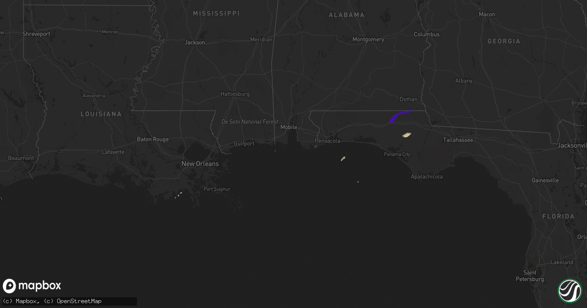
Hail Map on February 10, 2018
Get this storm
February 10 map
$229
one time, instant access
Download today. No call, no setup
Keep the $229
Bought the map and want the full workflow? Apply the entire $229 to a subscription within 7 days. None of it is wasted.
Every map, not just this one
This buys you this map. Subscription and you get every map we run, in the markets you choose from a few cities to whole states to nationwide. Plus real-time alerts the moment a storm fires.
Contact data
Name, contact info, occupancy, even credit band for addresses in the footprint. You go from where it hit to who to call.
Become the source they trust
Unlimited branding weather history reports on demand. You already have the documented answer ready for the property owner, and you are the one who showed up with it.
Property data and RoofTrace estimates
Pull up any address you have got, its value and the exact code rules for that jurisdiction, straight from One Click Code. Then RoofTrace estimates the squares, pitch, and roof value, priced the way you price.
Storm reports
Mississippi
| Date | Description |
|---|---|
| 02/10/20184:50 PM CST | Ef-0 tornado briefly touched down near the intersection of highway 15 and 19. It blew out the doors and some insulation from a large metal shop and caused minor damage |
Alabama
| Date | Description |
|---|---|
| 02/10/20185:18 PM CST | Nws survey determined that a brief ef-0 tornado touched down just south of hwy 56 and east of flat branch rd. The tornado resulted in damage to the metal roof of a resi |
| 02/10/20185:18 PM CST | Emergency manager relayed a report of damage to a residence near laton hill. Trees down with one tree that fell in a window... Part of the roof of the residence severel |
| 02/10/20184:50 AM CST | At 1050 PM CST, a severe thunderstorm was located over Pisgah, or 9 miles east of Scottsboro, moving northeast at 30 mph. HAZARD...60 mph wind gusts. SOURCE...Radar indicated. IMPACT...Expect damage to roofs, siding, and trees. Locations impacted include... Stevenson, Hollywood, Pisgah, Martintown, Rosalie, Fabius, Fackler and Higdon. |
| 02/10/20184:15 AM CST | Minor shingle damage in the pansey area from the sunday morning storms. |
| 02/09/201811:41 PM CST | At 540 PM CST, a severe thunderstorm was located 4 miles east of Millry, or 10 miles north of Chatom, moving northeast at 35 mph. HAZARD...60 mph wind gusts. SOURCE...Radar indicated. IMPACT...Expect damage to roofs, siding, and trees. Locations impacted include... Millry and Coffeeville. |
| 02/09/201810:49 PM CST | At 448 PM CST, a severe thunderstorm was located 8 miles southwest of State Line, or 12 miles north of Leakesville, moving northeast at 35 mph. HAZARD...60 mph wind gusts. SOURCE...Radar indicated. IMPACT...Expect damage to roofs, siding, and trees. Locations impacted include... Knobtown, Chatom and State Line. |
Louisiana
| Date | Description |
|---|---|
| 02/10/20184:43 AM CST | At 1042 AM CST, a severe thunderstorm was located near Bridge City, moving east at 25 mph. HAZARD...60 mph wind gusts. SOURCE...Radar indicated. IMPACT...Expect damage to roofs, siding, and trees. Locations impacted include... Port Arthur, Orange, Bridge City, West Orange, Sabine National Wildlife and Orangefield. |
Florida
| Date | Description |
|---|---|
| 02/10/20183:33 AM CST | Roof damage to three buildings around dentist office in graceville. |
| 02/10/20183:06 AM CST | House behind church destroyed. |
| 02/10/20183:01 AM CST | Trees and power lines down with damage to a couple of homes. Large sections of a metal roof on a home was removed. A brick carport was destroyed. Tds observed on radar. |
| 02/10/20183:00 AM CST | Trees and power lines down with damage to a couple of homes. Specific details not yet available. Tds observed on radar. Report relayed from washington county 911. |
| 02/10/20182:53 AM CST | Delayed report that a tree fell on a house in caryville during the sunday morning storms. Reported via facebook. |