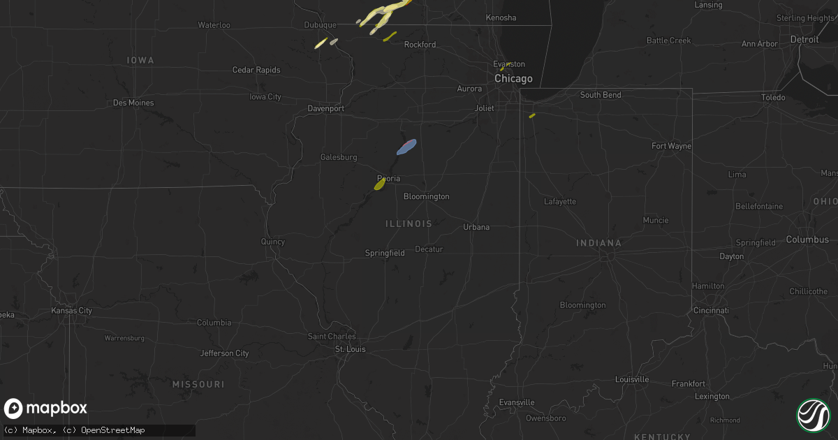
Hail Map in Illinois on February 8, 2024
Get this storm
February 8 map
$229
one time, instant access
Download today. No call, no setup
Keep the $229
Bought the map and want the full workflow? Apply the entire $229 to a subscription within 7 days. None of it is wasted.
Every map, not just this one
This buys you this map. Subscription and you get every map we run, in the markets you choose from a few cities to whole states to nationwide. Plus real-time alerts the moment a storm fires.
Contact data
Name, contact info, occupancy, even credit band for addresses in the footprint. You go from where it hit to who to call.
Become the source they trust
Unlimited branding weather history reports on demand. You already have the documented answer ready for the property owner, and you are the one who showed up with it.
Property data and RoofTrace estimates
Pull up any address you have got, its value and the exact code rules for that jurisdiction, straight from One Click Code. Then RoofTrace estimates the squares, pitch, and roof value, priced the way you price.
Storm reports in Illinois
Illinois
| Date | Description |
|---|---|
| 02/08/20245:40 PM CST | Dime to quarter size hail. |
| 02/08/20245:40 PM CST | Delayed report via social media. Hail lasted 5 minutes; started as dime and finished as quarter plus. |
| 02/08/20245:34 PM CST | A local report indicates 1.50 inch wind near 2 ESE Scioto Mills |
| 02/08/20245:20 PM CST | A local report indicates 1.00 inch wind near Bellevue |
| 02/08/20245:10 PM CST | Time estimated from radar. |
| 02/08/20245:01 PM CST | Semi-truck blown over on i-39 at mile marker 43. Time estimated from radar and 911 dispatch. |
| 02/08/20245:00 PM CST | Nws storm survey determined straight line winds produced damage to several power poles along n 14th rd. Time estimated from radar and 911 dispatch. |
| 02/08/20244:53 PM CST | Time estimated based on radar. |
| 02/08/20244:53 PM CST | Reported at kc75. |
| 02/08/20244:47 PM CST | A local report indicates 1.00 inch wind near 1 W Warren |
| 02/08/20244:45 PM CST | A semi truck was overturned with damage to at least one outbuilding... As well as to multiple large trees... At this location. Multiple trained spotter visual reports a |
| 02/08/20244:42 PM CST | Brief touchdown in open field. |
| 02/08/20244:40 PM CST | Tornado developed 2 miles south of henry and tracked northeast through rural portions of northern marshall and southeast putnam counties... Damaging trees and outbuildi |
| 02/07/20247:41 PM CST | A local report indicates 1.00 inch wind near 1 NE Norwood Park - Chi |
| 02/07/20246:07 PM CST | A local report indicates 1.00 inch wind near 2 NNW Rockdale |
Cities Impacted by Hail Map on February 8, 2024
- Zwingle, IA
- La Motte, IA
- Lacon, IL
- Magnolia, IL
- Warren, IL
- Gratiot, WI
- McNabb, IL
- South Wayne, WI
- Browntown, WI
- Argyle, WI
- Woodford, WI
- Varna, IL
- Sparland, IL
- Lostant, IL
- Winslow, IL
- Orangeville, IL
- Monroe, WI
- Monticello, WI
- Albany, WI
- Evansville, WI
- Brooklyn, WI
- Oregon, WI
- Edgerton, WI
- Stoughton, WI
- Freeport, IL
- Dakota, IL
- Rock City, IL
- Fort Atkinson, WI
- Cambridge, WI
- Jefferson, WI
- Johnson Creek, WI
- Helenville, WI
- Glasford, IL
- Mapleton, IL
- Kingston Mines, IL
- Peoria, IL
- East Peoria, IL
- Creve Coeur, IL
- Washington, IL
- Metamora, IL
- Eureka, IL
- Roanoke, IL
- Lowpoint, IL
- Benson, IL
- Washburn, IL
- Watertown, WI
- Sullivan, WI
- Oconomowoc, WI
- Ixonia, WI
- Okauchee, WI
- Nashotah, WI
- Hartland, WI
- Colgate, WI
- Harwood Heights, IL
- Chicago, IL
- Skokie, IL
- Evanston, IL
- Niles, IL
- Delafield, WI
- Lena, IL
- Sussex, WI
- Pewaukee, WI
- Bellevue, IA
- Hubertus, WI
- Hartford, WI
- Dousman, WI
- Galena, IL
- Whitewater, WI
- McConnell, IL
- Crown Point, IN
- Merrillville, IN
- Richfield, WI
- Channahon, IL
- Minooka, IL
- Shorewood, IL
- Joliet, IL
- Juda, WI
- Brodhead, WI


