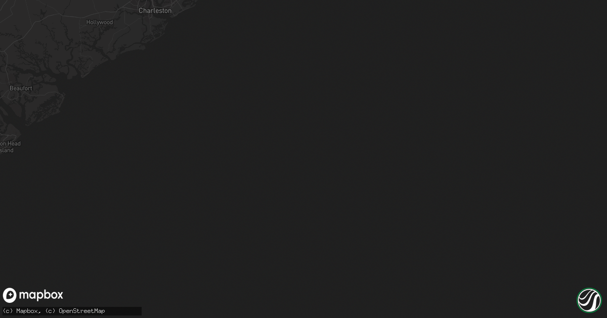
Hail Map in Beaufort, NC on December 26, 2012
Get this storm
December 26 map
$229
one time, instant access
Download today. No call, no setup
Keep the $229
Bought the map and want the full workflow? Apply the entire $229 to a subscription within 7 days. None of it is wasted.
Every map, not just this one
This buys you this map. Subscription and you get every map we run, in the markets you choose from a few cities to whole states to nationwide. Plus real-time alerts the moment a storm fires.
Contact data
Name, contact info, occupancy, even credit band for addresses in the footprint. You go from where it hit to who to call.
Become the source they trust
Unlimited branding weather history reports on demand. You already have the documented answer ready for the property owner, and you are the one who showed up with it.
Property data and RoofTrace estimates
Pull up any address you have got, its value and the exact code rules for that jurisdiction, straight from One Click Code. Then RoofTrace estimates the squares, pitch, and roof value, priced the way you price.
Storm reports in Beaufort, NC
Beaufort, NC
| Date | Description |
|---|---|
| 12/26/20122:00 PM CST | National ocean service tide gauge bftn7 gusted to 54 knots. |
| 12/26/20121:58 PM CST | Possible tornado...damage to roof eve... One tree down... Tops of 2 trees torn off... Estimated 80-100 mph winds. |
| 12/26/20121:58 PM CST | Nws storm survey found ef1 tornado damage north of beaufort. Winds estimated at 90 mph...100 yards wide...and a path length of one quarter mile. The tornado began aroun |
| 12/26/20121:58 PM CST | Possible tornado off hwy 101. Public reported large trees down... Broken windows... Powerlines down and extensive damage to a house. |
All States Impacted by Hail Map on December 26, 2012
All Cities Impacted by Hail Map on December 26, 2012
- Groveland, FL
- Bushnell, FL
- New Smyrna Beach, FL
- Wilson, NC
- Pinetops, NC
- Sorrento, FL
- Fremont, NC
- Apopka, FL
- Altamonte Springs, FL
- Inverness, FL
- Winter Springs, FL
- Casselberry, FL
- Sanford, FL
- Longwood, FL
- Mount Olive, NC
- Osteen, FL
- Floral City, FL
- Faison, NC
- Goldsboro, NC
- Pikeville, NC
- Beaufort, NC
- Harkers Island, NC
- Kenly, NC
- Webster, FL
- Tavares, FL
- Stantonsburg, NC
- Elm City, NC
- Newport, NC
- Geneva, FL
- Deltona, FL


