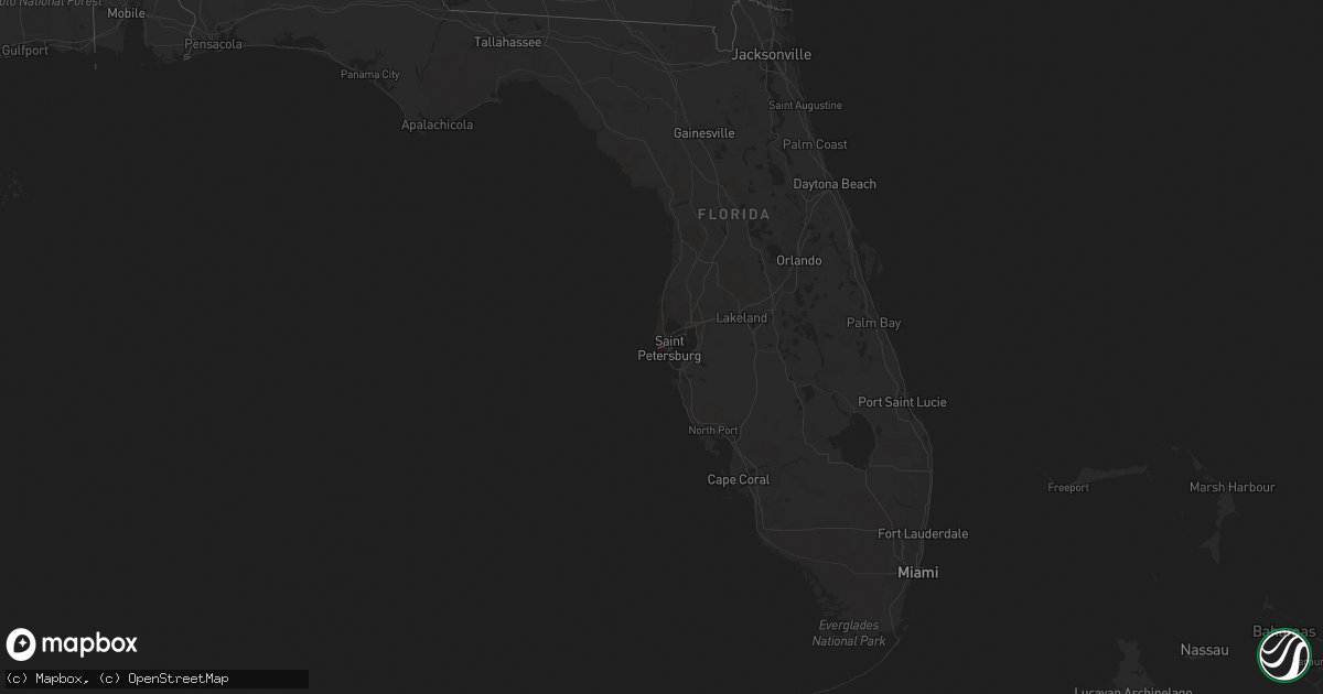
Hail Map in Florida on December 15, 2022
Get this storm
December 15 map
$229
one time, instant access
Download today. No call, no setup
Keep the $229
Bought the map and want the full workflow? Apply the entire $229 to a subscription within 7 days. None of it is wasted.
Every map, not just this one
This buys you this map. Subscription and you get every map we run, in the markets you choose from a few cities to whole states to nationwide. Plus real-time alerts the moment a storm fires.
Contact data
Name, contact info, occupancy, even credit band for addresses in the footprint. You go from where it hit to who to call.
Become the source they trust
Unlimited branding weather history reports on demand. You already have the documented answer ready for the property owner, and you are the one who showed up with it.
Property data and RoofTrace estimates
Pull up any address you have got, its value and the exact code rules for that jurisdiction, straight from One Click Code. Then RoofTrace estimates the squares, pitch, and roof value, priced the way you price.
Storm reports in Florida
Florida
| Date | Description |
|---|---|
| 12/15/20222:15 PM CST | Em relayed pictures of large tree downed near lanai of home and additional lanai damage separate from the downed tree. |
| 12/15/202211:03 AM CST | Multiple reports of a possible tornado near 16th ave n and 55th st n. At least two buildings damaged. |
| 12/15/202211:03 AM CST | Large tree downed onto home caused roof damage and partial room collapse in back of house. P |
| 12/15/202210:55 AM CST | Delayed report: several homes in lutz community received damage to pool cages and fences. Some shingles were peeled off roofs. Radar data and damage patterns suggest th |
| 12/15/202210:15 AM CST | Report of a pole barn destroyed... Roof damage to a house... And a few large oak trees snapped at the base vicinity ayers road and culbreath rd. |
| 12/15/20229:45 AM CST | Numerous trees down. |
| 12/15/20229:24 AM CST | Delayed report: gas station awning partially pealed back. Time estimated from radar. |
| 12/15/20226:54 AM CST | At 1254 PM EST, severe thunderstorms were located along a line extending from near Ruskin to near Parrish to near Ellenton, moving east at 35 mph. HAZARD...60 mph wind gusts. SOURCE...Radar indicated. IMPACT...Expect damage to roofs, siding, and trees. Locations impacted include... Little Manatee River State Park, Greater Sun Center, Fort Lonesome, Fish Hawk, Boyette, Ruskin, Parrish, Memphis, Wimauma and Sun City Center. |
| 12/15/20226:09 AM CST | At 1209 PM EST, a severe thunderstorm was located over St. Petersburg, or over Downtown Saint Petersburg, moving east at 45 mph. HAZARD...60 mph wind gusts. SOURCE...Radar indicated. IMPACT...Expect damage to roofs, siding, and trees. Locations impacted include... Tampa, St. Petersburg, Pinellas Park, Gulfport, Kenneth City, South Tampa, Soho, Tropicana Field, Weedon Island State Preserve and Venetian Isles. |
| 12/15/20225:31 AM CST | At 1131 AM EST, a severe thunderstorm was located near Mascotte, moving northeast at 40 mph. HAZARD...60 mph wind gusts. SOURCE...Radar indicated. IMPACT...Expect damage to roofs, siding, and trees. Locations impacted include... Leesburg, Eustis, Tavares, Mount Dora and Groveland. |
| 12/15/20224:40 AM CST | At 1040 AM EST, severe thunderstorms were located along a line extending from Hernando County Airport to near Beacon Square to 10 miles west of Palm Harbor, moving northeast at 60 mph. HAZARD...60 mph wind gusts and penny size hail. SOURCE...Radar indicated. IMPACT...Expect damage to roofs, siding, and trees. Locations impacted include... Tampa, Spring Hill, Clearwater, Safety Harbor, New Port Richey, Oldsmar, Brooksville, Dade City, Belleair and Ridge Manor. |
| 12/15/20224:08 AM CST | At 1008 AM EST, severe thunderstorms were located along a line extending from near Weeki Wachee Gardens to 6 miles west of Jasmine Estates, moving northeast at 35 mph. HAZARD...60 mph wind gusts. SOURCE...Radar indicated. IMPACT...Expect damage to roofs, siding, and trees. Locations impacted include... Spring Hill, New Port Richey, Weeki Wachee, High Point, Jasmine Estates, Weeki Wachee Gardens, New Port Richey East, Shady Hills, Hudson and Moon Lake. |
| 12/14/20228:24 PM CST | At 223 AM EST/123 AM CST/, severe thunderstorms were located along a line extending from near Vernon to 39 miles south of Panama City Beach, moving east at 30 mph. A wind gust to 58 mph was measured in the Panama City Beach area. HAZARD...60 mph wind gusts. SOURCE...Radar indicated. IMPACT...Expect damage to roofs, siding, and trees. Locations impacted include... Panama City, Lynn Haven, Panama City Beach, Callaway, Blountstown, Marianna, Chipley, Port St. Joe, Springfield, Mexico Beach, Hiland Park, Stonemill Creek, Tyndall Air Force Base, Chattahoochee, Orange, Bradford, Parker, Wewahitchka, Sneads and Bristol. |


