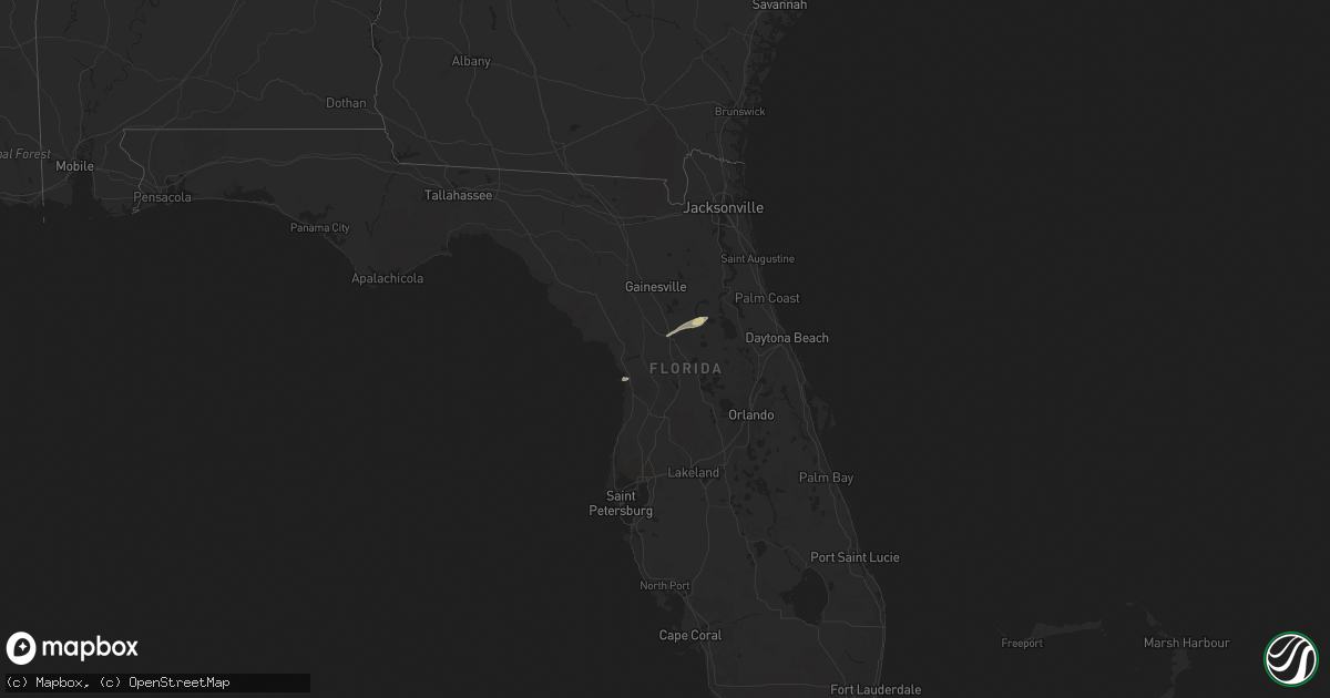
Hail Map in Florida on December 14, 2013
Get this storm
December 14 map
$229
one time, instant access
Download today. No call, no setup
Keep the $229
Bought the map and want the full workflow? Apply the entire $229 to a subscription within 7 days. None of it is wasted.
Every map, not just this one
This buys you this map. Subscription and you get every map we run, in the markets you choose from a few cities to whole states to nationwide. Plus real-time alerts the moment a storm fires.
Contact data
Name, contact info, occupancy, even credit band for addresses in the footprint. You go from where it hit to who to call.
Become the source they trust
Unlimited branding weather history reports on demand. You already have the documented answer ready for the property owner, and you are the one who showed up with it.
Property data and RoofTrace estimates
Pull up any address you have got, its value and the exact code rules for that jurisdiction, straight from One Click Code. Then RoofTrace estimates the squares, pitch, and roof value, priced the way you price.
Storm reports in Florida
Florida
| Date | Description |
|---|---|
| 12/14/20134:25 PM CST | 18 x 80 foot wooden barn building damaged and moved off its concrete foundation...with the metal roof of the building thrown into a nearby tree. Time estimated by radar |
| 12/14/20134:25 PM CST | Nws storm survey concluded that this damage was caused by a downburst with straight line winds estimated at around 100 mph. 18 x 80 foot wooden barn building damaged an |
| 12/13/20136:02 PM CST | Flagler county emergency management relayed a report of a possible tornado touchdown on brittany lane. Reports of trees down and power outages in the area. Also reports |
| 12/13/20136:00 PM CST | An ef1 tornado...with approximate winds of 95 to 105 mph was confirmed by a storm assessment team. The tornado initially touched down north of espanola...then tracked n |


