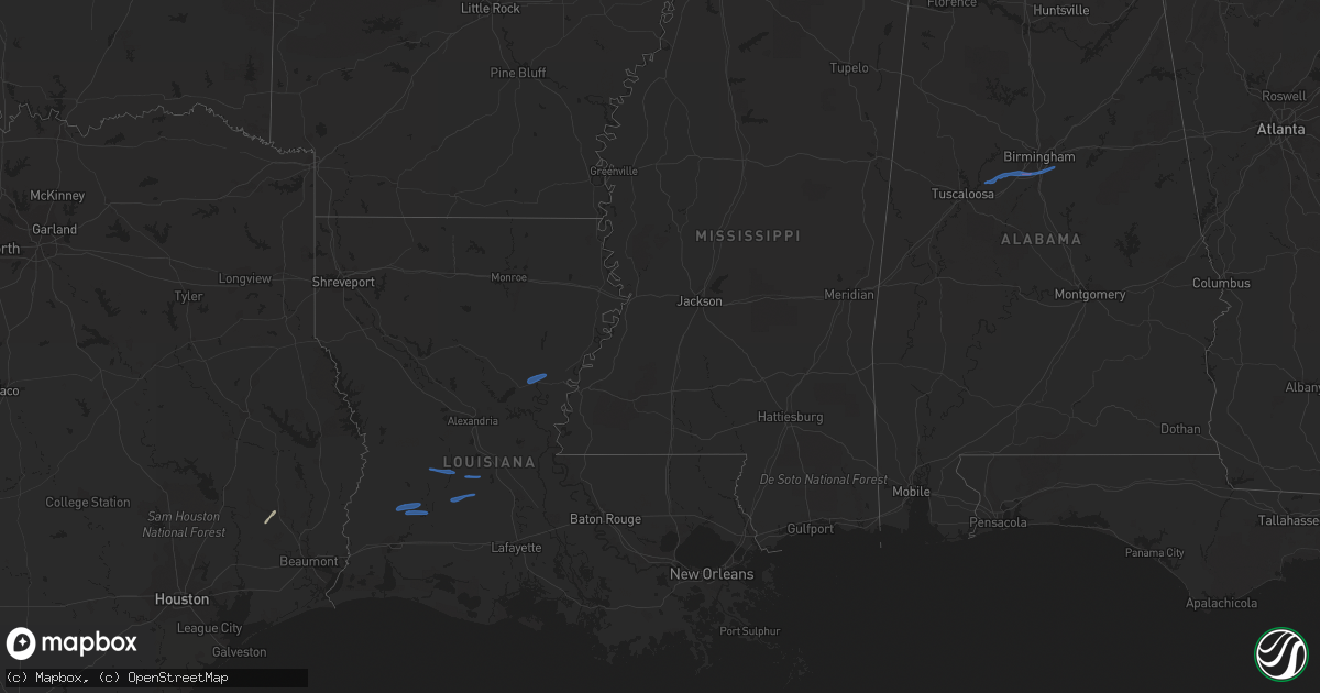
Hail Map in Alabama on December 13, 2020
Get this storm
December 13 map
$229
one time, instant access
Download today. No call, no setup
Keep the $229
Bought the map and want the full workflow? Apply the entire $229 to a subscription within 7 days. None of it is wasted.
Every map, not just this one
This buys you this map. Subscription and you get every map we run, in the markets you choose from a few cities to whole states to nationwide. Plus real-time alerts the moment a storm fires.
Contact data
Name, contact info, occupancy, even credit band for addresses in the footprint. You go from where it hit to who to call.
Become the source they trust
Unlimited branding weather history reports on demand. You already have the documented answer ready for the property owner, and you are the one who showed up with it.
Property data and RoofTrace estimates
Pull up any address you have got, its value and the exact code rules for that jurisdiction, straight from One Click Code. Then RoofTrace estimates the squares, pitch, and roof value, priced the way you price.
Storm reports in Alabama
Alabama
| Date | Description |
|---|---|
| 12/13/20201:20 AM CST | Caller states shutters were blown off of home along bridge drive near cahaba valley road with fencing down and tree down. Time estimated by radar. |
| 12/13/20201:18 AM CST | Trees down behind spain park complex. |
| 12/13/20201:18 AM CST | Several light poles down in winn dixie parking lot. |
| 12/13/20201:10 AM CST | Tree down on a house on steven drive in hoover. Tornado possible. Time estimated from radar. |
| 12/13/20201:09 AM CST | Tree down on maplewood lane and hwy 55. |
| 12/13/20201:08 AM CST | Tree down on mimosa rd and christopher dr. |
| 12/13/20201:07 AM CST | Tree down on scottsdale dr. |
| 12/13/20201:07 AM CST | Tree down on house. |
| 12/13/20201:07 AM CST | Trees down along shade crest road from travis street southward to south shades crest... Including some on homes. |
| 12/13/20201:06 AM CST | Tree down on cahaba valley trace and cahaba valley rd. |
| 12/13/20201:06 AM CST | Tree down on house. |
| 12/13/20201:06 AM CST | Multiple trees down. |
| 12/13/20201:06 AM CST | Trees down on lantana drive with one tree on a truck. Possible tornado. |
| 12/13/20201:05 AM CST | Tree and power lines blocking road. |
| 12/13/20201:05 AM CST | Dozen trees uprooted/snapped... Roof damage... And splatter on houses. Possible tornado. Time estimated from radar. |
| 12/13/20201:04 AM CST | Tree down on butler rd and mission hills rd. |


