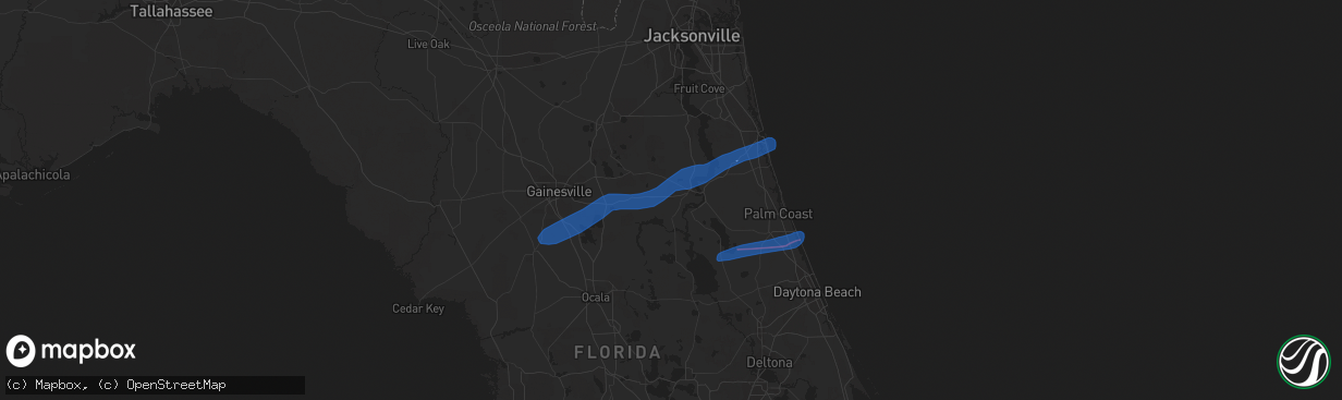
Hail Map in Micanopy, FL on December 13, 2019
The weather event in Micanopy, FL on December 13, 2019 includes Wind and Tornado maps. 1 state and 16 cities were impacted and suffered possible damage. The total estimated number of properties impacted is 0.
Wind
Tornado
0
Estimated number of impacted properties by a 1.00" hail or larger0
Estimated number of impacted properties by a 1.75" hail or larger0
Estimated number of impacted properties by a 2.50" hail or largerStorm reports in Micanopy, FL
Micanopy, FL
| Date | Description |
|---|---|
| 12/13/20192:55 AM CST | Potential tornado damage. State watch office relayed storm report of tree and power line damage along county road 234 between micanopy and rochelle. In rochelle... 7000 |
| 12/13/20192:50 AM CST | Two trees down on roadway at the intersection of s us 441 and se 134th ave. |
| 12/13/20192:48 AM CST | Damage consistent with ef-0 tornado damage. Ema shared pictures of many downed trees along the north shore of lake wauberg... Damage to watercraft... Broken docks and f |
| 12/13/20192:46 AM CST | Possible tornado damage. State watch office relayed local alachua county 911 damage reports of widespread tree and power line damage near micanopy including along 11300 |


