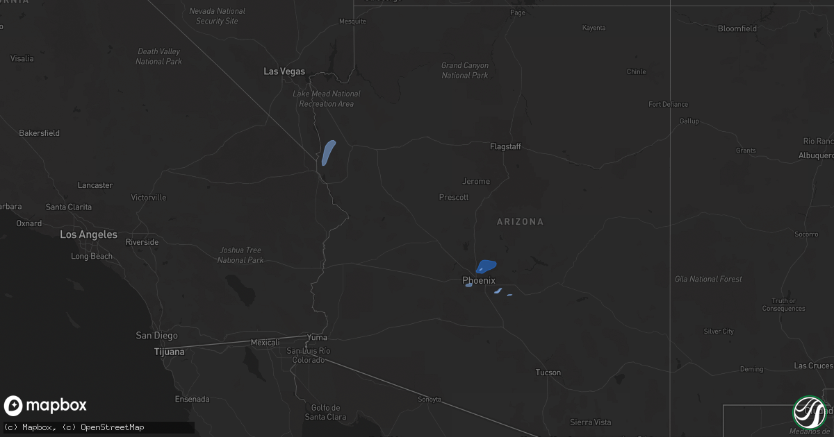
Hail Map in Arizona on November 28, 2019
Get this storm
November 28 map
$229
one time, instant access
Download today. No call, no setup
Keep the $229
Bought the map and want the full workflow? Apply the entire $229 to a subscription within 7 days. None of it is wasted.
Every map, not just this one
This buys you this map. Subscription and you get every map we run, in the markets you choose from a few cities to whole states to nationwide. Plus real-time alerts the moment a storm fires.
Contact data
Name, contact info, occupancy, even credit band for addresses in the footprint. You go from where it hit to who to call.
Become the source they trust
Unlimited branding weather history reports on demand. You already have the documented answer ready for the property owner, and you are the one who showed up with it.
Property data and RoofTrace estimates
Pull up any address you have got, its value and the exact code rules for that jurisdiction, straight from One Click Code. Then RoofTrace estimates the squares, pitch, and roof value, priced the way you price.
Storm reports in Arizona
Arizona
| Date | Description |
|---|---|
| 11/28/20195:51 AM CST | *** delayed report *** power poles down... Multiple trees down; roof damage. Times based on kiwa doppler radar couplets. |
| 11/28/20195:49 AM CST | ***delayed report***...asphalt shingle roof recently rated in good condition had nearly all shingles loose after storm with numerous shingles ripped away. Tree damage a |
| 11/28/20195:48 AM CST | 12-inch diameter branches broken off trees. Police are dealing with blown down trees about 300 feet directly east of my apartment. |
| 11/28/20195:41 AM CST | *** delayed report *** rotational damage noted in survey... Times from kiwa and tphx radar couplet track. Small trees damaged in 2 shopping center parking lots. Multipl |
| 11/28/20195:01 AM CST | *** delayed report *** minor damage reported by public in social media along beardsley rd. Time based on radar data. |
| 11/28/20195:00 AM CST | Several trees down along thunderbird rd between 7th ave and 3rd st. |
| 11/28/20195:00 AM CST | Social media. Trees down onto road. |
| 11/28/20194:58 AM CST | Social media. Several trees down. |
| 11/28/20194:58 AM CST | Numerous trees down on road. |
| 11/28/20194:58 AM CST | *** delayed report *** multiple damage locations spread sporadically over 7 mile track. Numerous trees diameter up to 3 feet wide downed and roofs removed and damaged. |
| 11/28/20194:55 AM CST | Car port blown over onto cars. |
| 11/28/20194:55 AM CST | Social media photo. Tree snapped in half. Several trees down. |
| 11/28/20194:54 AM CST | *** delayed report *** numerous trees downed and one carport destroyed. Possible tornado and may be upgraded. |
| 11/28/20194:50 AM CST | Mesonet station. |
| 11/28/20194:49 AM CST | Channel 3 showed a very large tree that had fallen on a car port and caused the car port to collapse on a car. |
| 11/28/20194:46 AM CST | Mesonet station. |
| 11/28/201912:16 AM CST | At 616 PM MST/516 PM PST/, a severe thunderstorm was located 8 miles east of Midland, or 26 miles southwest of Parker, moving northeast at 40 mph. HAZARD...60 mph wind gusts. SOURCE...Radar indicated. IMPACT...Expect damage to roofs, siding, and trees. Locations impacted include... Parker and Poston. |
| 11/28/201912:15 AM CST | At 614 PM MST/514 PM PST/, a severe thunderstorm was located near Palo Verde, or 32 miles northwest of Martinez Lake, moving northeast at 25 mph. HAZARD...60 mph wind gusts. SOURCE...Radar indicated. IMPACT...Expect damage to roofs, siding, and trees. Locations impacted include... Blythe, Cibola, Palo Verde, Ripley, Ehrenberg and East Blythe. |
| 11/27/201911:51 PM CST | At 551 PM MST/451 PM PST/, a severe thunderstorm was located 14 miles southwest of Cibola, or 31 miles northwest of Martinez Lake, moving northeast at 30 mph. HAZARD...60 mph wind gusts. SOURCE...Radar indicated. IMPACT...Expect damage to roofs, siding, and trees. Locations impacted include... Cibola and Palo Verde. |
| 11/27/20197:52 PM CST | Union pass raws measured a peak wind gust of 73 mph with a line of thunderstorms. |


