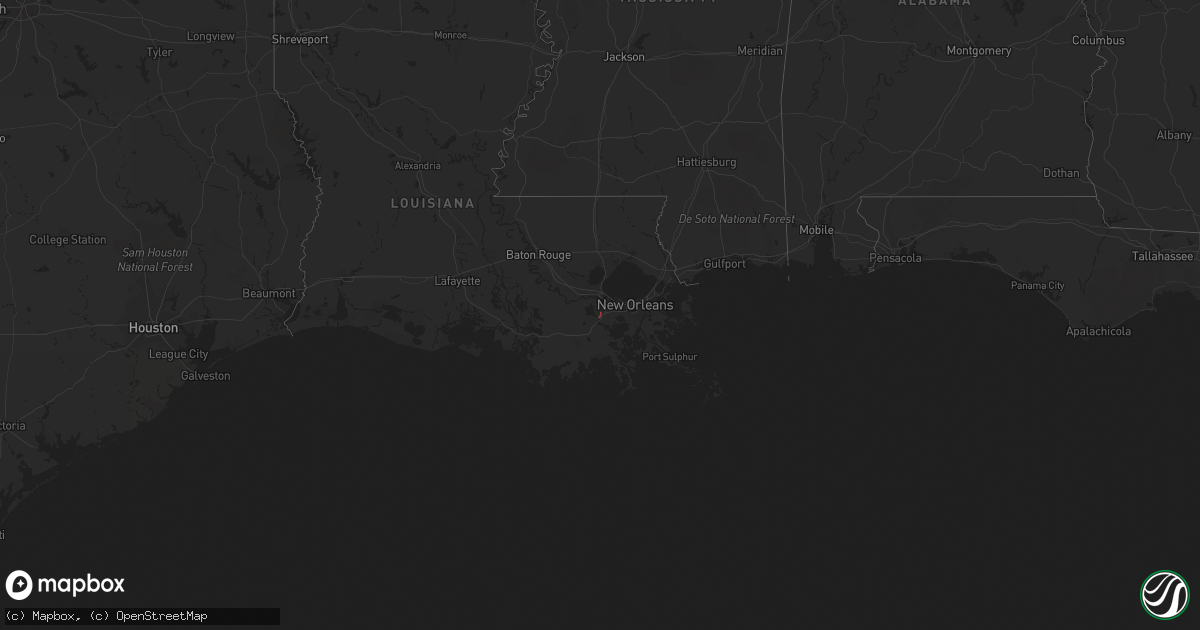
Hail Map in Louisiana on November 26, 2022
Get this storm
November 26 map
$229
one time, instant access
Download today. No call, no setup
Keep the $229
Bought the map and want the full workflow? Apply the entire $229 to a subscription within 7 days. None of it is wasted.
Every map, not just this one
This buys you this map. Subscription and you get every map we run, in the markets you choose from a few cities to whole states to nationwide. Plus real-time alerts the moment a storm fires.
Contact data
Name, contact info, occupancy, even credit band for addresses in the footprint. You go from where it hit to who to call.
Become the source they trust
Unlimited branding weather history reports on demand. You already have the documented answer ready for the property owner, and you are the one who showed up with it.
Property data and RoofTrace estimates
Pull up any address you have got, its value and the exact code rules for that jurisdiction, straight from One Click Code. Then RoofTrace estimates the squares, pitch, and roof value, priced the way you price.
Storm reports in Louisiana
Louisiana
| Date | Description |
|---|---|
| 11/26/20222:40 PM CST | Corrects the time of previous tstm wnd dmg report from 2 nne kenner. Portion of brick facade blown off residential structure and a tree blown down into blown power line |
| 11/26/20221:55 PM CST | Reports of tree damage and snapped power pole near lockport. |
| 11/25/20229:12 PM CST | At 312 PM CST, a severe thunderstorm was located over Myrtle Grove, or 15 miles northwest of Port Sulphur, moving northeast at 45 mph. HAZARD...60 mph wind gusts. SOURCE...Radar indicated. IMPACT...Expect damage to roofs, siding, and trees. Locations impacted include... Myrtle Grove, Violet, Shell Beach and Poydras. |
| 11/25/20227:55 PM CST | At 155 PM CST, a severe thunderstorm was located near Lockport, or 7 miles northwest of Larose, moving northeast at 50 mph. HAZARD...60 mph wind gusts. SOURCE...Radar indicated. IMPACT...Expect damage to roofs, siding, and trees. Locations impacted include... Avondale, Larose, Hahnville, Marrero, Laplace, Harvey, Cut Off, Harahan, Westwego, Lockport, Mathews, Montz, Luling, Boutte, Raceland, Ama, Destrehan, Estelle, St. Rose and Woodmere.This includes Interstate 310 between mile markers 3 and 11. |
| 11/25/20226:48 PM CST | Portion of brick facade blown off residential structure and a tree blown down into blown power lines in the city of kenner. |


