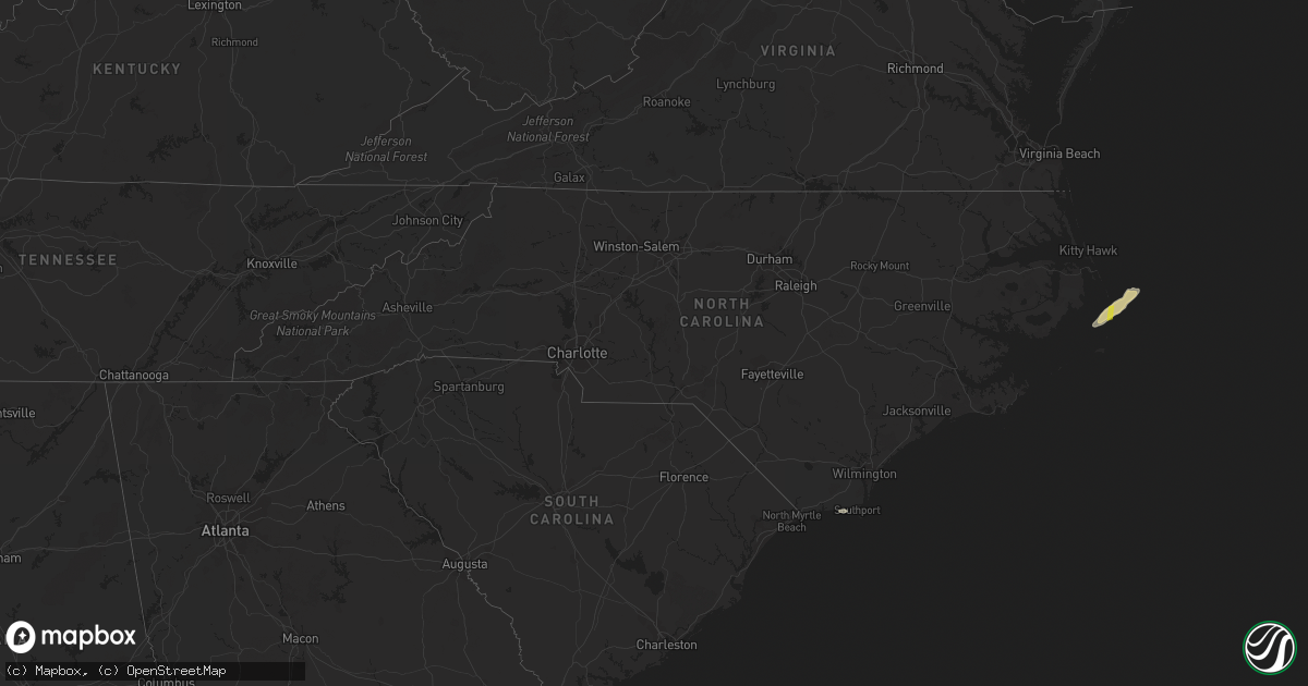
Hail Map in North Carolina on November 24, 2018
Get this storm
November 24 map
$229
one time, instant access
Download today. No call, no setup
Keep the $229
Bought the map and want the full workflow? Apply the entire $229 to a subscription within 7 days. None of it is wasted.
Every map, not just this one
This buys you this map. Subscription and you get every map we run, in the markets you choose from a few cities to whole states to nationwide. Plus real-time alerts the moment a storm fires.
Contact data
Name, contact info, occupancy, even credit band for addresses in the footprint. You go from where it hit to who to call.
Become the source they trust
Unlimited branding weather history reports on demand. You already have the documented answer ready for the property owner, and you are the one who showed up with it.
Property data and RoofTrace estimates
Pull up any address you have got, its value and the exact code rules for that jurisdiction, straight from One Click Code. Then RoofTrace estimates the squares, pitch, and roof value, priced the way you price.
Storm reports in North Carolina
North Carolina
| Date | Description |
|---|---|
| 11/24/20181:50 PM CST | Corrects previous tstm wnd gst report from 1 n cedar island. Peak wind of 70 mph at cedar island ferry terminal before equipment failed. |
| 11/24/20181:40 PM CST | A nws storm survey confirms an ef0 tornado along mill creek road. Maximum estimated winds were 65 mph. The duration was 1 minute... With a maximum path width of 40 yard |
| 11/24/20181:20 PM CST | Tree down on powerlines on nine mile rd. Time based on radar. |
| 11/24/20181:16 PM CST | Corrects previous water spout report from 3 ene broad creek. This was the ending of the same tornado that started in emerald isle and produced an ef2 tornado near ocean |
| 11/24/20181:09 PM CST | Damage to signs in the city. |
| 11/24/20181:06 PM CST | Nws storm survey confirms an ef0 tornado touched down near live oak drive. The maximum estimated wind speed was 80 mph... With a path width of 70 yards and a path lengt |
| 11/23/20188:33 PM CST | At 232 PM EST, a severe thunderstorm was located over Harlowe, or near Morehead City, moving northeast at 40 mph. HAZARD...60 mph wind gusts. SOURCE...Radar indicated. IMPACT...Expect damage to roofs, siding, and trees. Locations impacted include... Morehead City, Cedar Island, South River, North River, Sealevel, Merrimon, Davis, Straits, Smyrna, Atlantic, Harlowe, Otway, Williston, Whortonsville, Great Neck, Open Grounds Farm, North Harlowe, Stacy, Bettie and Portsmouth Village. |
| 11/23/20187:36 PM CST | At 135 PM EST, a severe thunderstorm was located 7 miles south of Bogue Inlet Pier, or 17 miles southwest of Newport, moving northeast at 45 mph. HAZARD...70 mph wind gusts. SOURCE...Radar indicated. IMPACT...Expect considerable tree damage. Damage is likely to mobile homes, roofs, and outbuildings. Locations impacted include... New Bern, Havelock, Morehead City, Newport, Cedar Island, Harkers Island, South River, Cape Carteret, North River, Sealevel, Marshallberg, Davis, Smyrna, Merrimon, Straits, Atlantic, Pine Knoll Shores, Harlowe, Otway and Broad Creek. |


