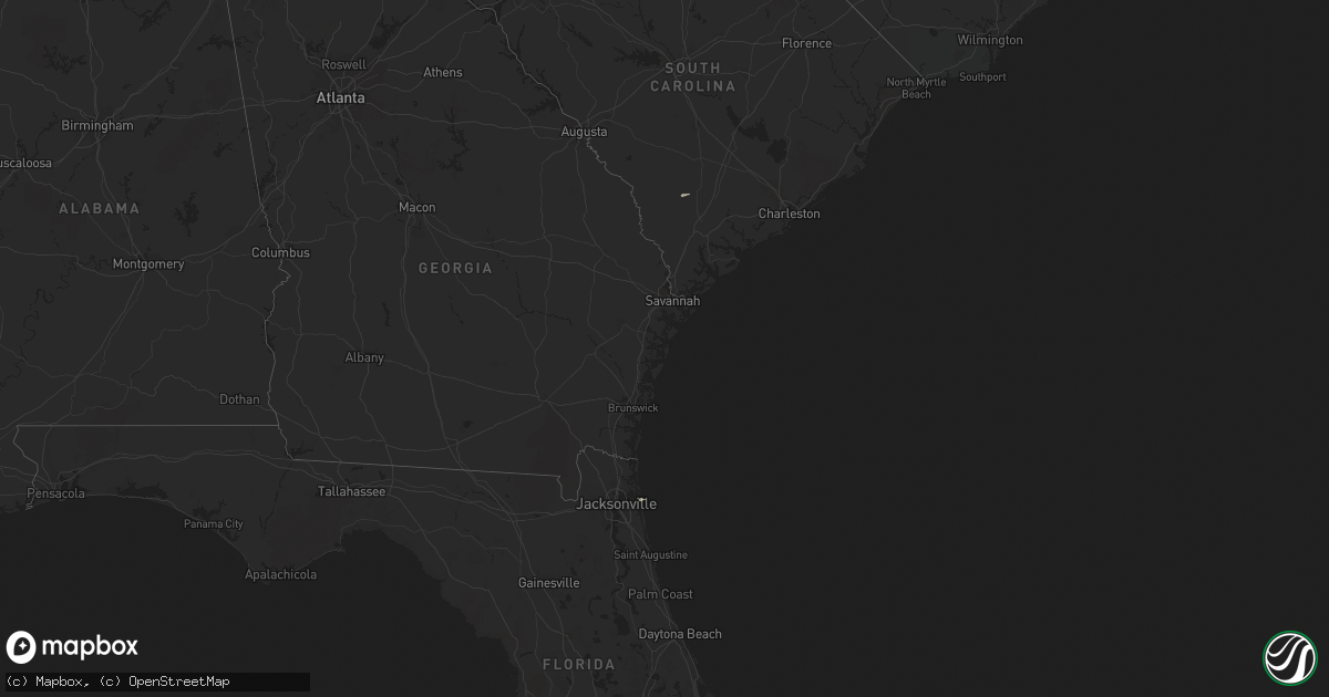
Hail Map in Florida on November 17, 2014
Get this storm
November 17 map
$229
one time, instant access
Download today. No call, no setup
Keep the $229
Bought the map and want the full workflow? Apply the entire $229 to a subscription within 7 days. None of it is wasted.
Every map, not just this one
This buys you this map. Subscription and you get every map we run, in the markets you choose from a few cities to whole states to nationwide. Plus real-time alerts the moment a storm fires.
Contact data
Name, contact info, occupancy, even credit band for addresses in the footprint. You go from where it hit to who to call.
Become the source they trust
Unlimited branding weather history reports on demand. You already have the documented answer ready for the property owner, and you are the one who showed up with it.
Property data and RoofTrace estimates
Pull up any address you have got, its value and the exact code rules for that jurisdiction, straight from One Click Code. Then RoofTrace estimates the squares, pitch, and roof value, priced the way you price.
Storm reports in Florida
Florida
| Date | Description |
|---|---|
| 11/17/20141:45 PM CST | A tree fell onto powerlines on old kings road. Time estimated based on radar. |
| 11/17/20141:00 PM CST | Numerous large tree limbs down in the sugarmills woods community. |
| 11/17/201412:55 PM CST | Broadcast media is reporting portion of roof blown off of apartment complex in jacksonville beach at 127 south 1st avenue. Time is estimated based on radar imagery and |
| 11/17/201412:54 PM CST | Blount island command noaa ports station measured a gust to 79 mph/68.4 knots from 260 degrees. |
| 11/17/201412:51 PM CST | A thunderstorm wind gust of 67 mph was measured by a weather flow station near fort caroline. Also received reports of significant damage to a gas station in this area. |
| 11/17/201412:50 PM CST | Broadcast media reported large trees down on black hawk trail. |
| 11/17/201412:45 PM CST | Two semi-trucks blown over on the dames point bridge. |
| 11/17/201412:43 PM CST | The public measured a wind gust to 58 mph in blount island. |
| 11/17/201412:40 PM CST | Broadcast media relayed pictures of two trees twisted and downed at holly and weller avenues. |
| 11/17/201412:36 PM CST | Street sign blown down near water street and csx drive downtown. |
| 11/17/201412:35 PM CST | Public relayed a report of substantial roof damage to a business in orange park at the corner of knight boxx road and blanding blvd. Large pieces of the roof damaged tw |
| 11/17/201412:35 PM CST | Public relayed a report of substantial roof damage to a business in orange park at the corner of knight boxx road and blanding blvd. |
| 11/17/201412:35 PM CST | A thunderstorm wind gust of 59 mph was measured at the jacksonville naval air station. |
| 11/17/201412:30 PM CST | A spotter reported trees and powerlines down throughout the lakeside area. One oak tree was down on a home on cedar crest drive. Powerlines were blown down on railroad |
| 11/17/201412:30 PM CST | Storm spotter relayed a report of a tree snapped off at the base on ember glow lane in pine ridge. |
| 11/17/201412:30 PM CST | Storm spotter reported two parking lot poles blown down at st. Johns river state college. Time is based on radar imagery and wind gusts reported in the vicinity. |
| 11/17/201412:20 PM CST | Emergency management reported trees down in eastern nassau county. |
| 11/17/201412:15 PM CST | The state watch office relayed a report of a possible tornado in baker county. A carport was detached from a home and power lines were down at county road 228 and deerf |
| 11/17/201412:05 PM CST | State watch office relayed a report of a possible tornado in the area of county road 229 and boyce road in sanderson. At least three residential structures were damaged |
| 11/17/201412:00 PM CST | Nws storm survey found a short convergent track of tree damage from boyce rd to steed rd near the baker/union county line...indicating a 1/4 to 1/2 mile tornado track. |
| 11/17/201411:56 AM CST | Levy county dispatch reported a tree down on county road 347 near the cedar key scrub. |
| 11/17/201411:56 AM CST | Levy county dispatch reported a tree down on u.s. 19 outside of chiefland. Also a report of a tree that fell on a house in chiefland. |
| 11/17/201411:30 AM CST | Several trees were reported down across interstate 75. |
| 11/17/201411:24 AM CST | Tree fell on vehicle in the fort white area. |
| 11/17/201411:24 AM CST | Several trees down along cr 240 |
| 11/17/201411:24 AM CST | Several trees down along i-75 between mile markers 418 and 420. |
| 11/17/201411:18 AM CST | Emergency management reported trees down on power lines in the southwest part of the obrien area. |
| 11/17/201410:45 AM CST | 911 call center relayed public report of damage to a home at 5750 sw 61st ave in jasper. Extent of damage is unknown at this time. Public report mentioned it was possib |
| 11/17/201410:35 AM CST | Numerous trees down on bisbee loop. Time estimated by radar. |
| 11/17/20148:20 AM CST | Tree down blocking winona street at beulah avenue. |
| 11/17/20148:16 AM CST | Minor damage to building in marianna. |
| 11/17/20148:15 AM CST | Trees and powerlines down on kent road. |
| 11/17/20148:10 AM CST | Tree down on avery street. Time estimated by radar |
| 11/17/20147:45 AM CST | Trees down at highways 79 and 280. |


