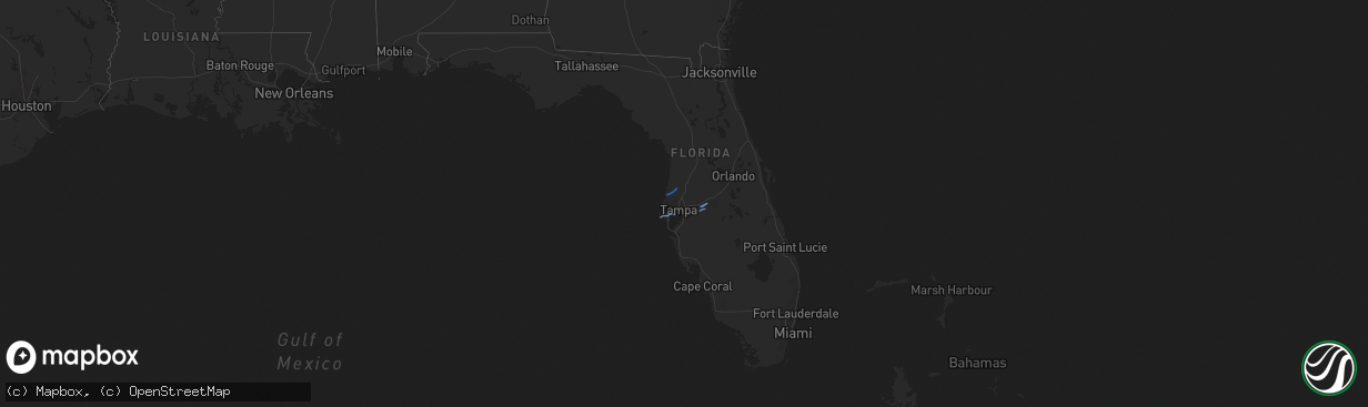
Hail Map in Florida on November 2, 2018
The weather event in Florida on November 2, 2018 includes Wind map. 1 state and 8 cities were impacted and suffered possible damage. The total estimated number of properties impacted is 0.
Want more than just the map?
Turn this storm into a full workflow.
- Owner + property data so you know who to knock
- OnDemand branded weather history reports to win the "did we even have hail?" argument
- RoofTrace estimate so reps stop guessing numbers at the door
Bought this map? Upgrade within 7 days and we'll credit the $230. (10-15 min setup call)
Wind
0
Estimated number of impacted properties by a 1.00" hail or larger0
Estimated number of impacted properties by a 1.75" hail or larger0
Estimated number of impacted properties by a 2.50" hail or largerStorm reports in Florida
Florida
| Date | Description |
|---|---|
| 11/02/20183:58 PM CDT | St. Johns county 911/dispatch reports trees and powerlines downed along datil pepper road. Time of damage based on radar data. |
| 11/02/20183:39 PM CDT | Local broadcast media reports several trees down onto powerlineson buckhill road... North of minneola. Time estimated from radar. |
| 11/02/20183:10 PM CDT | Mesonet station ar692... Lakeland highlands. |
| 11/02/20183:07 PM CDT | 65 mph wind gust in south lakeland and lakeland highlands area. |
| 11/02/20182:25 PM CDT | Roof damage to home along bell lake rd. Relayed via pasco county sheriffs office. Time estimated by radar 3:18-3:26 pm edt. |
| 11/02/20182:24 PM CDT | Mesonet station optf1... 3 w macdill air force. |
| 11/02/20182:22 PM CDT | Thunderstorm wind damage changed to tornado. Emergency manager reported two roofs had major damage to houses on larendale circle in spring hill and 17 homes had roof da |
| 11/02/20182:22 PM CDT | Mobile home damaged near 65th and seminole blvd |
| 11/02/20182:22 PM CDT | Emergency manager reported two roofs blown off houses on larendale circle in spring hill. Other homes in area had partial roof damage. |
| 11/02/20182:18 PM CDT | Corrected location and rated as ef1 tornado. 7 homes were damaged on 3400 block player drive in new port richey... In the fairway springs subdivision. 1 home had major |
| 11/02/20182:18 PM CDT | 7 homes were damaged on 3400 block player drive in new port richey... In the fairway springs subdivision. 1 home had major damage... 4 with structural damage. |
| 11/02/20182:15 PM CDT | Trees down and structure damage near 91st street and 78th ave... |
| 11/02/20182:15 PM CDT | Trees damaged and down along park blvd from seminole to pinellas park. |
| 11/02/20182:05 PM CDT | Public reports a few tree limbs down at corner of 49th st. And ulmerton rd. |
| 11/02/201812:33 AM CDT | At 533 PM EDT, a line of severe thunderstorms was located from Deland, to Deltona, to east of Sanford, to Christmas, to northeastern Osceola County, moving northeast at 45 mph. HAZARD...60 mph wind gusts. SOURCE...Radar indicated. IMPACT...Expect damage to roofs, siding, and trees. Locations impacted include... Deltona, Daytona Beach, Port Orange, Sanford and Titusville. |
| 11/01/201811:35 PM CDT | At 434 PM EDT, a severe thunderstorm was located over Orange Mills, or over Hastings, moving northeast at 25 mph. HAZARD...60 mph wind gusts. SOURCE...Radar indicated. IMPACT...Expect damage to roofs, siding, and trees. Locations impacted include... Saint Augustine, Hastings, East Palatka, Federal Point, Saint Augustine Shores, Orange Mills, Butler Beach, Saint Augustine South, Crescent Beach and Spuds. |
| 11/01/201811:28 PM CDT | At 427 PM EDT, severe thunderstorms were located along a line extending from 10 miles southwest of Lake Louisa to near Auburndale to 10 miles northwest of Wauchula, moving east at 45 mph. HAZARD...60 mph wind gusts. SOURCE...Radar indicated. IMPACT...Expect damage to roofs, siding, and trees. Locations impacted include... Winter Haven, Haines City, Bartow, Lake Wales, Auburndale, Jan Phyl Village, Poinciana, Fort Meade, Lake Alfred, Crooked Lake Park, Dundee, Frostproof, Davenport, Eagle Lake, Polk City, Lake Hamilton, Hillcrest Heights, Highland Park, Homeland and Alturas. |
| 11/01/201810:55 PM CDT | At 354 PM EDT, severe thunderstorms were located along a line extending from near Hillsborough River State Park to near Fish Hawk to near Parrish, moving east at 40 mph. HAZARD...60 mph wind gusts. SOURCE...Radar indicated. IMPACT...Expect damage to roofs, siding, and trees. Locations impacted include... Lakeland, Bradenton, Plant City, Winter Haven, Haines City, Bartow, Auburndale, Fish Hawk, Brandon, Greater Sun Center, West Samoset, Medulla, Parrish, Ona, Ellenton, Fussels Corner, Combee Settlement, Lakeland Linder Airport, Jan Phyl Village and Riverview. |
| 11/01/201810:54 PM CDT | At 353 PM EDT, a severe thunderstorm was located near Dade City, moving east at 45 mph. HAZARD...60 mph wind gusts. SOURCE...Radar indicated. IMPACT...Expect damage to roofs, siding, and trees. Locations impacted include... Leesburg, Clermont, Eustis, Tavares, Lady Lake and Mount Dora. |
| 11/01/201810:47 PM CDT | At 347 PM EDT, severe thunderstorms were located along a line extending from near Hill n Dale to Dade City to near Hillsborough River State Park, moving northeast at 50 mph. HAZARD...60 mph wind gusts and quarter size hail. SOURCE...Radar indicated. IMPACT...Hail damage to vehicles is expected. Expect wind damage to roofs, siding, and trees. Locations impacted include... Lakeland, Plant City, Zephyrhills, Brooksville, Dade City, Bushnell, St. Leo, Hillsborough River State Park, Hill n Dale, South Brooksville, Zephyrhills South, North Brooksville, Zephyrhills West, Zephyrhills North, Lake Panasoffkee, Ridge Manor, Polk City, San Antonio, Center Hill and Webster. |
| 11/01/201810:15 PM CDT | At 315 PM EDT, severe thunderstorms were located along a line extending from near Hudson to near Citrus Park to near Tierra Verde, moving east at 45 mph. HAZARD...60 mph wind gusts. SOURCE...Radar indicated. IMPACT...Expect damage to roofs, siding, and trees. Locations impacted include... Tampa, Spring Hill, Plant City, Temple Terrace, Zephyrhills, Brooksville, Dade City, Fish Hawk, Lutz, Brandon, St. Leo, Weeki Wachee, Hillsborough River State Park, Greater Sun Center, Zephyrhills South, Palm River-Clair Mel, Tampa International Airport, East Lake-Orient Park, Zephyrhills West and Land O Lakes. |
| 11/01/20189:42 PM CDT | At 242 PM EDT, severe thunderstorms were located along a line extending from 15 miles northwest of Beacon Square to 10 miles west of Palm Harbor to 20 miles southwest of Bay Pines, moving northeast at 50 mph. HAZARD...60 mph wind gusts. SOURCE...Radar indicated. IMPACT...Expect damage to roofs, siding, and trees. Locations impacted include... Tampa, Clearwater, Largo, Pinellas Park, Seminole, New Port Richey, Downtown Saint Petersburg, Hudson, Saint Petersburg, Fort Desoto Park, Holiday, St. Petersburg, St. Pete Beach, Palm Harbor, South Highpoint, Tierra Verde, New Port Richey East, West And East Lealman, Ridgecrest and Bay Pines. |


