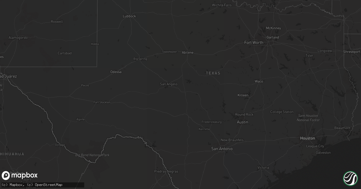
Hail Map in Texas on October 22, 2021
Get this storm
October 22 map
$229
one time, instant access
Download today. No call, no setup
Keep the $229
Bought the map and want the full workflow? Apply the entire $229 to a subscription within 7 days. None of it is wasted.
Every map, not just this one
This buys you this map. Subscription and you get every map we run, in the markets you choose from a few cities to whole states to nationwide. Plus real-time alerts the moment a storm fires.
Contact data
Name, contact info, occupancy, even credit band for addresses in the footprint. You go from where it hit to who to call.
Become the source they trust
Unlimited branding weather history reports on demand. You already have the documented answer ready for the property owner, and you are the one who showed up with it.
Property data and RoofTrace estimates
Pull up any address you have got, its value and the exact code rules for that jurisdiction, straight from One Click Code. Then RoofTrace estimates the squares, pitch, and roof value, priced the way you price.
Storm reports in Texas
Texas
| Date | Description |
|---|---|
| 10/22/20213:40 PM CDT | Harlingen pd reported telephone pole down near the intersection of stuart place rd and wilson rd. Time estimated based on radar. |
| 10/22/20213:40 PM CDT | Public reported limbs down on social media near harlingen south high school. Time estimated based on radar. |
| 10/22/202112:22 AM CDT | At 522 PM CDT, a severe thunderstorm was located over Encino, moving north at 15 mph. HAZARD...60 mph wind gusts and quarter size hail. SOURCE...Radar indicated. IMPACT...Hail damage to vehicles is expected. Expect wind damage to roofs, siding, and trees. Locations impacted include... Rachal, Encino and Hidalgo City Park. This includes US Highway 281 between mile markers 714 and 736. |


