Hail Map on October 18, 2012
Get this storm
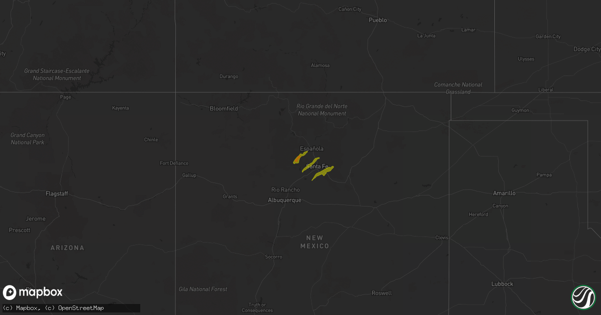
October 18 map
$229
one time, instant access
Download today. No call, no setup
Keep the $229
Bought the map and want the full workflow? Apply the entire $229 to a subscription within 7 days. None of it is wasted.
Every map, not just this one
This buys you this map. Subscription and you get every map we run, in the markets you choose from a few cities to whole states to nationwide. Plus real-time alerts the moment a storm fires.
Contact data
Name, contact info, occupancy, even credit band for addresses in the footprint. You go from where it hit to who to call.
Become the source they trust
Unlimited branding weather history reports on demand. You already have the documented answer ready for the property owner, and you are the one who showed up with it.
Property data and RoofTrace estimates
Pull up any address you have got, its value and the exact code rules for that jurisdiction, straight from One Click Code. Then RoofTrace estimates the squares, pitch, and roof value, priced the way you price.
States Impacted by Hail Map on October 18, 2012
Storm reports
North Carolina
| Date | Description |
|---|---|
| 10/17/20129:00 PM CDT | Dot was dispatched to remove a couple of trees in the road after a motorist crashed into them. |
| 10/17/20128:30 PM CDT | Dot was dispatched to remove a couple of trees in the road after a motorist crashed into them. |
| 10/17/20127:51 PM CDT | Multiple trees down |
| 10/17/20127:51 PM CDT | Tree down at welcome...arcadia and picket road |
| 10/17/20127:35 PM CDT | Trees down on us 64 |
| 10/17/20127:34 PM CDT | Trees down along highway 64 just inside davie county at the bridge. |
Virginia
| Date | Description |
|---|---|
| 10/17/20128:32 PM CDT | A local report indicates 1.00 inch wind near STEPHENS CITY |
| 10/17/20128:15 PM CDT | A local report indicates 1.00 inch wind near KINGS CROSSING |
West Virginia
| Date | Description |
|---|---|
| 10/18/20124:33 PM CDT | A local report indicates 1.00 inch wind near 2 WNW HOVATTER |
| 10/18/20124:30 PM CDT | Time modified based on radar. Relayed by wboy. |
| 10/18/20124:20 PM CDT | A local report indicates 1.00 inch wind near MOATSVILLE |
| 10/18/20124:17 PM CDT | Up to quarter size hail in the town of charmco |
| 10/18/20124:15 PM CDT | State police reported hail up to quarter size covering the ground. |
| 10/18/20124:13 PM CDT | 1 inch hail reported near barbour county fairgrounds |
| 10/18/20122:05 PM CDT | Cars damaged at car lot. Quarter size hail |
| 10/18/20121:54 PM CDT | Estimated quarter to half dollar sized hail. |
Tennessee
| Date | Description |
|---|---|
| 10/18/20123:44 PM CDT | A local report indicates 1.00 inch wind near DOEVILLE |
| 10/18/20123:05 PM CDT | A local report indicates 1.00 inch wind near 4 W ELIZABETHTON |
Maryland
| Date | Description |
|---|---|
| 10/17/20129:04 PM CDT | A local report indicates 1.00 inch wind near WOLFSVILLE |
Texas
| Date | Description |
|---|---|
| 10/18/20126:45 PM CDT | Public reported quarter sized hail at the intersection of mile 12 rd and 491. |
| 10/18/20126:30 PM CDT | Public reports via internet that quarter size hail fell around 630 pm cdt on the northeast side of fm 88 in the monte alto and delta lake area. |
| 10/18/20126:25 PM CDT | 30 foot tall tree split in half by winds 2 east of sebastian on fm 2629. |
| 10/18/20126:15 PM CDT | Public reports via internet that golfball size hail fell in monte alto at 615 pm cdt. |
| 10/18/20126:00 PM CDT | School employee reports swinging doors of school bus barn torn off their hinges at san perlita isd facility at 6 pm cdt. |
| 10/18/20126:00 PM CDT | Jailer with willacy county sheriffs department reported golf ball size hail fell on fm 490 6 miles west of willamar at 6 pm cdt. |
| 10/18/20126:00 PM CDT | Public reported via internet that large-diameter tree was blown down in donna near the intersection of north victoria road and mile 10. |
| 10/18/20126:00 PM CDT | Public reported quarter to golf ball size hail at monte cristo and filegonia road in elsa. Hail fell between 6 and 630 pm. |
| 10/18/20126:00 PM CDT | Trained skywarn spotter reported winds estimated at 55 to 60 mph in san perlita at 6 pm cdt. |
| 10/18/20126:00 PM CDT | Trained skywarn spotter reports palm tree blown down and shingles blown off a roof on highway 186 3 miles west of san perlita at 6 pm cdt. |
| 10/18/20125:34 PM CDT | Nickel to quarter sized hail and significant wind damage to a mobile home in san perlita. Event time based on radar. |
| 10/18/20124:00 PM CDT | Border patrol checkpoint in kenedy county reports motorist observed wind damage to sign north of raymondville in willacy county between 4 pm cdt and 5 pm cdt. Motorist |
| 10/17/20127:15 PM CDT | Carport blown into adjacent building by thunderstorm winds. Nearby carport also damaged at houston and 6th. |
Cities Impacted by Hail Map on October 18, 2012
- Hampton, TN
- Butler, TN
- Lizemores, WV
- Glen, WV
- Indore, WV
- Pond Gap, WV
- San Perlita, TX
- Raymondville, TX
- Louisa, VA
- Lyford, TX
- Johnson City, TN
- Clendenin, WV
- Pharr, TX
- Mcallen, TX
- Hidalgo, TX
- Mission, TX
- Seth, WV
- Grundy, VA
- Masontown, WV
- Philippi, WV
- Moatsville, WV
- Edinburg, TX
- La Villa, TX
- Elsa, TX
- Donna, TX
- Mercedes, TX
- Edcouch, TX
- Weslaco, TX
- Elizabethton, TN
- Madison, WV
- Sumerco, WV
- Alum Creek, WV
- Sod, WV
- Davy, WV
- Welch, WV
- Columbia, VA
- Kents Store, VA
- Chapmanville, WV
- Harts, WV
- Bremo Bluff, VA
- New Canton, VA
- Fork Union, VA
- Elkview, WV
- Charleston, WV
- Charlottesville, VA
- San Juan, TX
- Stephens City, VA
- Winchester, VA
- Duck, WV
- Clay, WV
- Kiahsville, WV
- Dunlow, WV
- Bentonville, VA
- Front Royal, VA
- Lexington, NC
- Hernshaw, WV
- Winifrede, WV
- Ranger, WV
- Knoxville, MD
- Middletown, MD
- Myersville, MD
- Jefferson, MD
- Burkittsville, MD
- Dingess, WV
- Somerset, VA
- Gordonsville, VA
- Orange, VA
- Kermit, WV
- Williamson, WV
- Breeden, WV
- Lenore, WV
- Tad, WV
- Frametown, WV
- Blount, WV
- Bomont, WV
- Drybranch, WV
- Comfort, WV
- Mammoth, WV
- Belle, WV
- Cedar Grove, WV
- Eskdale, WV
- Hansford, WV
- East Bank, WV
- Cabin Creek, WV
- Sutton, WV
- Birch River, WV
- Glasgow, WV
- Little Birch, WV
- Bickmore, WV
- Pratt, WV
- Broadway, VA
- Luray, VA
- Timberville, VA
- Fort Valley, VA
- Mount Jackson, VA
- New Market, VA
- Big Creek, WV
- Winston Salem, NC
- Encino, TX
- San Isidro, TX
- Jeffrey, WV
- Danville, WV
- Linn, TX
- Armstrong, TX
- Lovely, KY
- Charmco, WV
- Rainelle, WV
- Jonesborough, TN
- Volga, WV
- Buckhannon, WV
- Harlingen, TX
- Sebastian, TX
- Shenandoah, VA
- Pilgrim, KY
- Brunswick, MD
- Smithsburg, MD
- Danese, WV
- Rupert, WV
- Nathalie, VA
- Morgantown, WV
- Independence, WV
- Port Mansfield, TX
- Midkiff, WV
- Strasburg, VA
- Tannersville, VA
- Reedsville, WV
- Limestone, TN
- Chuckey, TN
- Telford, TN
- Carrie, KY
- Keswick, VA
- Raysal, WV
- Logan, WV
- Yolyn, WV
- Clothier, WV
- Stollings, WV
- Middletown, VA
- French Creek, WV
- Los Alamos, NM
- Santa Fe, NM
- Tererro, NM
- Glorieta, NM
- Lamy, NM
- Pecos, NM