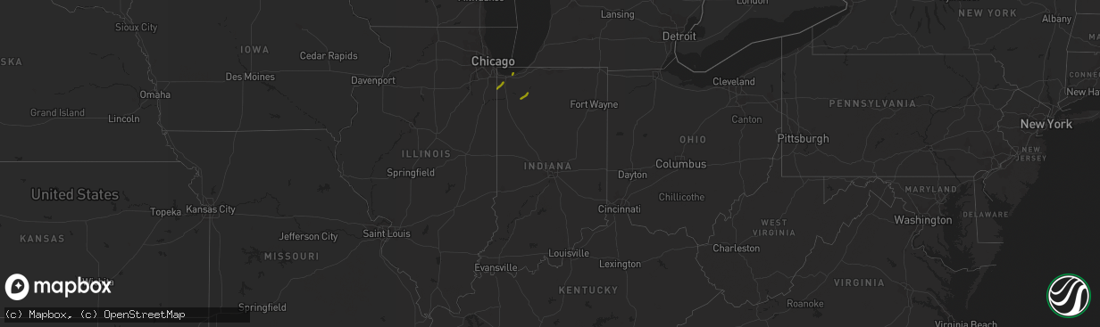
Hail Map in Indiana on October 12, 2020
The weather event in Indiana on October 12, 2020 includes Hail map. 3 states and 9 cities were impacted and suffered possible damage. The total estimated number of properties impacted is 6,186.
Want more than just the map?
Turn this storm into a full workflow.
- Owner + property data so you know who to knock
- OnDemand branded weather history reports to win the "did we even have hail?" argument
- RoofTrace estimate so reps stop guessing numbers at the door
Bought this map? Upgrade within 7 days and we'll credit the $230. (10-15 min setup call)
Hail
6,186
Estimated number of impacted properties by a 1.00" hail or larger0
Estimated number of impacted properties by a 1.75" hail or larger0
Estimated number of impacted properties by a 2.50" hail or largerStorm reports in Indiana
Indiana
| Date | Description |
|---|---|
| 10/12/20204:38 PM CDT | Old walnut tree downed at the base. Tree shows evidence of rot. Photo on facebook. |
| 10/12/20204:25 PM CDT | Small... Healthy tree snapped. |
| 10/12/20202:45 PM CDT | A local report indicates 1.00 inch wind near PORTAGE |
| 10/12/20202:45 PM CDT | Reported at highway 12 and 149... Burns harbor... In. Time estimated. |
| 10/12/20202:30 PM CDT | A local report indicates 1.00 inch wind near CEDAR LAKE |
| 10/11/202011:45 PM CDT | At 445 PM EDT, a severe thunderstorm was located 8 miles west of Royal Center, or 9 miles northeast of Monticello, moving northeast at 55 mph. HAZARD...60 mph wind gusts and quarter size hail. SOURCE...Radar indicated. IMPACT...Hail damage to vehicles is expected. Expect wind damage to roofs, siding, and trees. Locations impacted include... Rochester, Royal Center, Kewanna, Leiters Ford, Headlee, Lawton, Bruce Lake Station, Grass Creek, Delong, Lake Bruce, Star City, Thornhope, Bell Center, Buffalo and Marshtown. |
| 10/11/202010:21 PM CDT | At 321 PM CDT, a severe thunderstorm was located near North Judson, or near Dunns Bridge, moving northeast at 55 mph. HAZARD...60 mph wind gusts and quarter size hail. SOURCE...Radar indicated. IMPACT...Hail damage to vehicles is expected. Expect wind damage to roofs, siding, and trees. Locations impacted include... Knox, North Judson, Hamlet, Koontz Lake, Toto, Lomax, South Center, English Lake, San Pierre, Salem Heights, Brems and Grovertown. |
| 10/11/20209:24 PM CDT | At 223 PM CDT, a severe thunderstorm was located 2 miles northwest of Cedar Lake, moving northeast at 55 mph. HAZARD...60 mph wind gusts and quarter size hail. SOURCE...Radar indicated. IMPACT...Hail damage to vehicles is expected. Expect wind damage to roofs, siding, and trees. Locations impacted include... Gary, Portage, Merrillville, Valparaiso, Schererville, Hobart, Crown Point, Chesterton, Cedar Lake, Griffith, St. John, Lake Station, Lakes of the Four Seasons, South Haven, Porter, Winfield, New Chicago, Burns Harbor, Ogden Dunes and Wheeler.This includes... Indiana University Northwest, Illiana MotorSpeedway, Indiana Dunes State Park, Lake County Fairgrounds, andSouth Shore Rail Cats Baseball. |


