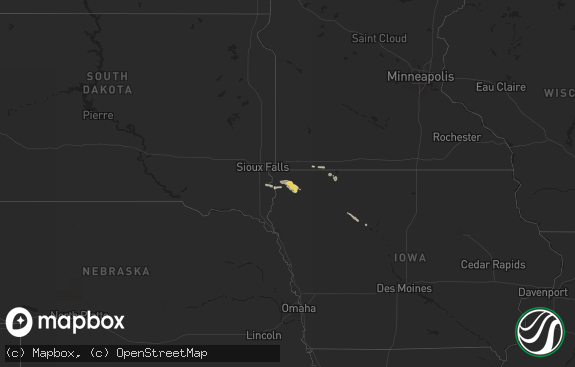
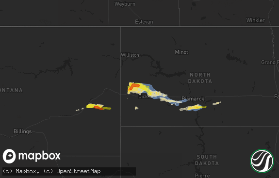
Hail Map in South Carolina on October 11, 2020
The weather event in South Carolina on October 11, 2020 includes Hail, Wind, and Tornado maps. 8 states and 183 cities were impacted and suffered possible damage. The total estimated number of properties impacted is 0.

Hail
Wind
Tornado
0
Estimated number of impacted properties by a 1.00" hail or larger0
Estimated number of impacted properties by a 1.75" hail or larger0
Estimated number of impacted properties by a 2.50" hail or largerStorm reports in South Carolina
South Carolina
| Date | Description |
|---|---|
| 10/11/20203:33 PM CDT | Confirmed ef0. Fences blown down in the bridgewater community off of hwy 90. Trees also reported down in road in the red hill area. Time estimated via radar. |
| 10/11/20203:20 PM CDT | *** 1 inj *** confirmed ef1. Multiple structures damaged. Significant damage done to home on oak st... Between 4 mile rd and cultra rd. Time estimated via radar. |
| 10/11/20203:20 PM CDT | *** 1 inj *** multiple structures damaged. Significant damage done to home on oak st... Between 4 mile rd and cultra rd. Possible tornado. One person suffered minor inj |
| 10/11/20202:20 PM CDT | Confirmed ef-1 tornado crossed i-95 between latta and dillon near mile mark 184. Trees snapped on side of the highway. Reports of bark torn off trees and roof damaged. |
| 10/11/20209:15 AM CDT | Emergency mngr reported trees blown down on riverfork rd. |
| 10/11/20209:15 AM CDT | Emergency mngr reported trees down on arnold ln. |
| 10/10/20209:24 PM CDT | At 223 PM EDT, severe thunderstorms were located along a line extending from 8 miles south of Troy to near Chesterfield, moving northeast at 30 mph. HAZARD...60 mph wind gusts. SOURCE...Radar indicated. IMPACT...Expect damage to roofs, siding, and trees. Locations impacted include... Rockingham, Wadesboro, Hamlet, Mount Gilead, Ellerbe, Lilesville, Morven, Norman, McFarlan and Diggs. |
All States Impacted by Hail Map on October 11, 2020
Cities Impacted by Hail Map on October 11, 2020
- Madison, MN
- Bellingham, MN
- Clay Center, NE
- Fairfield, NE
- Leigh, NE
- Wynot, NE
- Vermillion, SD
- Hartington, NE
- Beresford, SD
- Alcester, SD
- Hinton, IA
- Sioux City, IA
- Westfield, IA
- Big Stone City, SD
- Ortonville, MN
- Odessa, MN
- Rock Valley, IA
- Hudson, SD
- Columbus, NE
- Merrill, IA
- Jefferson, SD
- Milbank, SD
- Lyons, NE
- West Point, NE
- Scribner, NE
- Pender, NE
- Stanton, NE
- Wisner, NE
- Howells, NE
- Oakland, NE
- Pilger, NE
- Madison, NE
- Norfolk, NE
- Snyder, NE
- Humphrey, NE
- Dodge, NE
- Clarkson, NE
- Wayne, NE
- Creston, NE
- Rogers, NE
- Schuyler, NE
- Tekamah, NE
- Worthington, MN
- Round Lake, MN
- Bigelow, MN
- Geneva, NE
- Linwood, NE
- North Bend, NE
- Centerville, SD
- Wakonda, SD
- Gary, SD
- Hawarden, IA
- Dumont, MN
- Phillips, NE
- Aurora, NE
- Morse Bluff, NE
- David City, NE
- Rising City, NE
- Bellwood, NE
- Beemer, NE
- Giltner, NE
- Doniphan, NE
- Revillo, SD
- Marietta, MN
- Elbow Lake, MN
- Wendell, MN
- Sutton, NE
- Volin, SD
- Breckenridge, MN
- Kent, MN
- Rothsay, MN
- Wolverton, MN
- Brewster, MN
- Winside, NE
- Clinton, MN
- Graceville, MN
- Burbank, SD
- Elk Point, SD
- Rushmore, MN
- Canby, MN
- Craig, NE
- Bancroft, NE
- Platte Center, NE
- Lindsay, NE
- Scandia, KS
- Courtland, KS
- Norway, KS
- Fairmont, NE
- Trumbull, NE
- Harvard, NE
- Wakefield, NE
- Hoskins, NE
- Allen, NE
- Dixon, NE
- Carroll, NE
- Laurel, NE
- Concord, NE
- Exeter, NE
- Milligan, NE
- Hastings, NE
- Ames, NE
- Shelby, NE
- Wilmot, SD
- Beardsley, MN
- Little Rock, IA
- Aurora, SD
- Stromsburg, NE
- Doon, IA
- Inland, NE
- Henderson, NE
- Hampton, NE
- Shickley, NE
- Edgar, NE
- Strandburg, SD
- Labolt, SD
- Jackson, NE
- North Sioux City, SD
- Grafton, NE
- Friend, NE
- Alvord, IA
- Sioux Center, IA
- Inwood, IA
- Rock Rapids, IA
- Hull, IA
- George, IA
- Paynesville, MN
- Wheaton, MN
- Norcross, MN
- Viborg, SD
- Brookings, SD
- White, SD
- Sibley, IA
- Ocheyedan, IA
- Heron Lake, MN
- Okabena, MN
- Evansville, MN
- Garfield, MN
- Brandon, MN
- Clear Lake, SD
- Latta, SC
- Nakina, NC
- Whiteville, NC
- Dunbar, NE
- Elmwood, NE
- Nebraska City, NE
- Walton, NE
- Sidney, IA
- Avoca, NE
- Pleasant Dale, NE
- Union, NE
- Palmyra, NE
- Nehawka, NE
- Malcolm, NE
- Seward, NE
- Unadilla, NE
- Hamburg, IA
- Percival, IA
- Lincoln, NE
- Bennet, NE
- Eagle, NE
- Otoe, NE
- Syracuse, NE
- Auburn, NE
- Hickman, NE
- Martell, NE
- Sterling, NE
- Watson, MO
- Roca, NE
- Cook, NE
- Crete, NE
- Brock, NE
- Douglas, NE
- Burr, NE
- Adams, NE
- Firth, NE
- Talmage, NE
- Cortland, NE
- Dorchester, NE
- Julian, NE
- Hallam, NE
- Peru, NE
- Tecumseh, NE
- Pickrell, NE


