Hail Map in Indiana on October 5, 2013
Get this storm
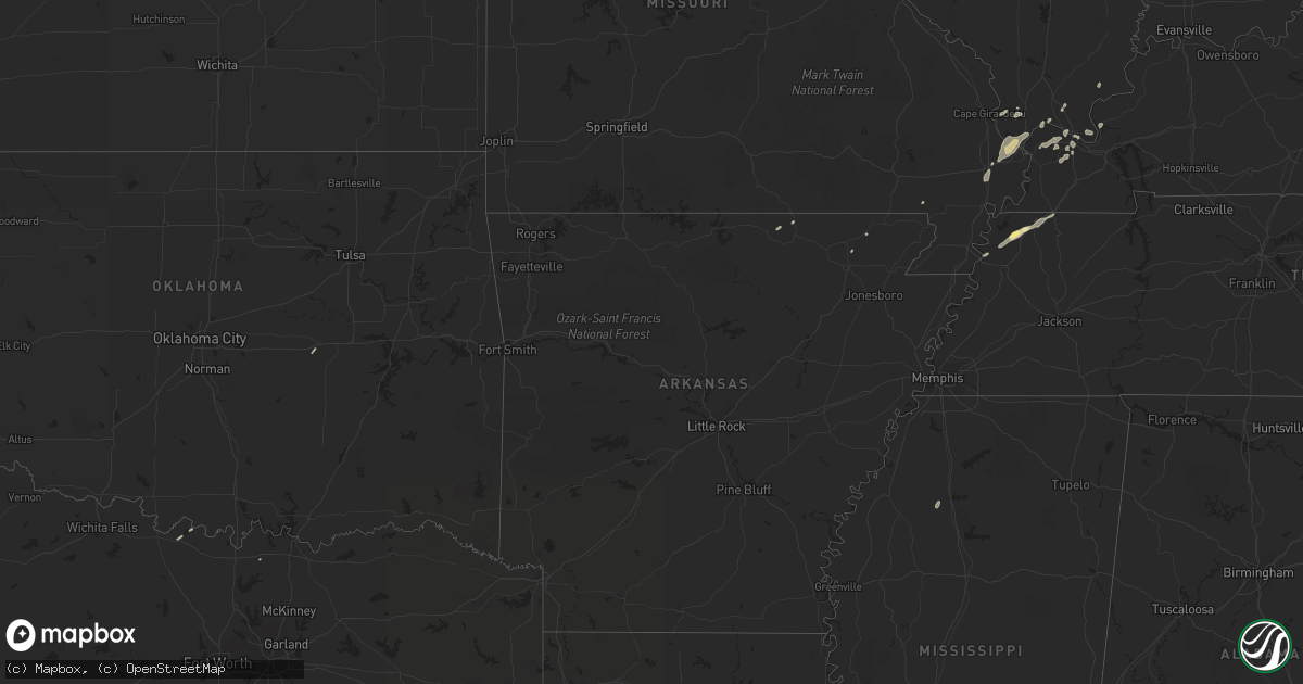
October 5 map
$229
one time, instant access
Download today. No call, no setup
Keep the $229
Bought the map and want the full workflow? Apply the entire $229 to a subscription within 7 days. None of it is wasted.
Every map, not just this one
This buys you this map. Subscription and you get every map we run, in the markets you choose from a few cities to whole states to nationwide. Plus real-time alerts the moment a storm fires.
Contact data
Name, contact info, occupancy, even credit band for addresses in the footprint. You go from where it hit to who to call.
Become the source they trust
Unlimited branding weather history reports on demand. You already have the documented answer ready for the property owner, and you are the one who showed up with it.
Property data and RoofTrace estimates
Pull up any address you have got, its value and the exact code rules for that jurisdiction, straight from One Click Code. Then RoofTrace estimates the squares, pitch, and roof value, priced the way you price.
Storm reports in Indiana
Indiana
| Date | Description |
|---|---|
| 10/05/20134:41 PM CDT | Numerous reports being received by knox co em about damage around freelandville regarding tree limbs down on homes and vehicles. |
| 10/05/20134:40 PM CDT | Roof partially blown off a barn. Also a few trees blown down. |
| 10/05/20134:35 PM CDT | Utility lines down on east clark road outside bruceville....relayed from brucevile fire chief to em.... Time estimated via radar |
| 10/05/20132:40 PM CDT | One utility pole snapped at base... Couple trees damaged... Cornfields damaged... Report received via twitter |
| 10/05/20131:38 AM CDT | One tree down |
| 10/05/201312:00 AM CDT | Warrick dispatch reported a tree down across sr 61 between lynnville and boonville. Social media reports tree limbs down in chandler. Time estimated. |
All States Impacted by Hail Map on October 5, 2013
Cities Impacted by Hail Map on October 5, 2013
- Williams Bay, WI
- Walworth, WI
- Lake Geneva, WI
- Fontana, WI
- Grantsburg, IL
- Belknap, IL
- Greendale, WI
- Franklin, WI
- Milwaukee, WI
- Sumner, IL
- Claremont, IL
- Flat Rock, IL
- Bridgeport, IL
- Oakdale, IL
- Addieville, IL
- Ridgely, TN
- Dyersburg, TN
- Itasca, IL
- Wood Dale, IL
- Cudahy, WI
- South Milwaukee, WI
- Saint Francis, WI
- Oak Creek, WI
- Paducah, KY
- Cisne, IL
- Capron, IL
- Vandalia, IL
- Whitesboro, TX
- Union City, TN
- Hales Corners, WI
- Atwood, IL
- Lovington, IL
- Arthur, IL
- Hammond, IL
- Troy, TN
- Obion, TN
- Hornbeak, TN
- Kevil, KY
- La Center, KY
- Grand Chain, IL
- Miller City, IL
- Mounds, IL
- Charleston, MO
- Mound City, IL
- Bertrand, MO
- Cairo, IL
- Villa Ridge, IL
- Bolingbrook, IL
- Woodridge, IL
- Calliham, TX
- Crest Hill, IL
- Plainfield, IL
- Joliet, IL
- Romeoville, IL
- Lockport, IL
- Elk Grove Village, IL
- Robinson, IL
- Oblong, IL
- Tilden, TX
- San Diego, TX
- Carlyle, IL
- Arlington Heights, IL
- Bensenville, IL
- Mount Prospect, IL
- Addison, IL
- Delavan, WI
- Breese, IL
- Beckemeyer, IL
- Sikeston, MO
- Matthews, MO
- Biggers, AR
- Shobonier, IL
- Vernon, IL
- Patoka, IL
- Olney, IL
- Harvard, IL
- Elmhurst, IL
- Darien, IL
- Shorewood, IL
- Lisle, IL
- Minooka, IL
- Villa Park, IL
- Channahon, IL
- Lemont, IL
- Lombard, IL
- Oak Brook, IL
- Downers Grove, IL
- Westmont, IL
- Naperville, IL
- Pewaukee, WI
- Waukesha, WI
- Barlow, KY
- Wickliffe, KY
- West Lebanon, IN
- Williamsport, IN
- Walnut Ridge, AR
- Pocahontas, AR
- Sadorus, IL
- Des Plaines, IL
- South Fulton, TN
- Rives, TN
- Karnak, IL
- McClure, IL
- Thebes, IL
- Muskego, WI
- Danville, IL
- Mammoth Spring, AR
- Centralia, IL
- Saint Jo, TX
- Dongola, IL
- Brookport, IL
- Melber, KY
- Cunningham, KY
- Nocona, TX
- Saint Joseph, IL
- Tamms, IL
- Ullin, IL
- Okemah, OK
- Rolling Meadows, IL
- Palatine, IL
- Schaumburg, IL
- Herod, IL
- West Paducah, KY
- Metropolis, IL
- Geff, IL
- Greenup, IL
- Casey, IL
- Lake Forest, IL
- River Grove, IL
- Elmwood Park, IL
- Burna, KY
- Smithland, KY
- Charleston, MS
- Enid, MS
- Oakland, MS
- Qulin, MO
- Bloomingdale, IL


