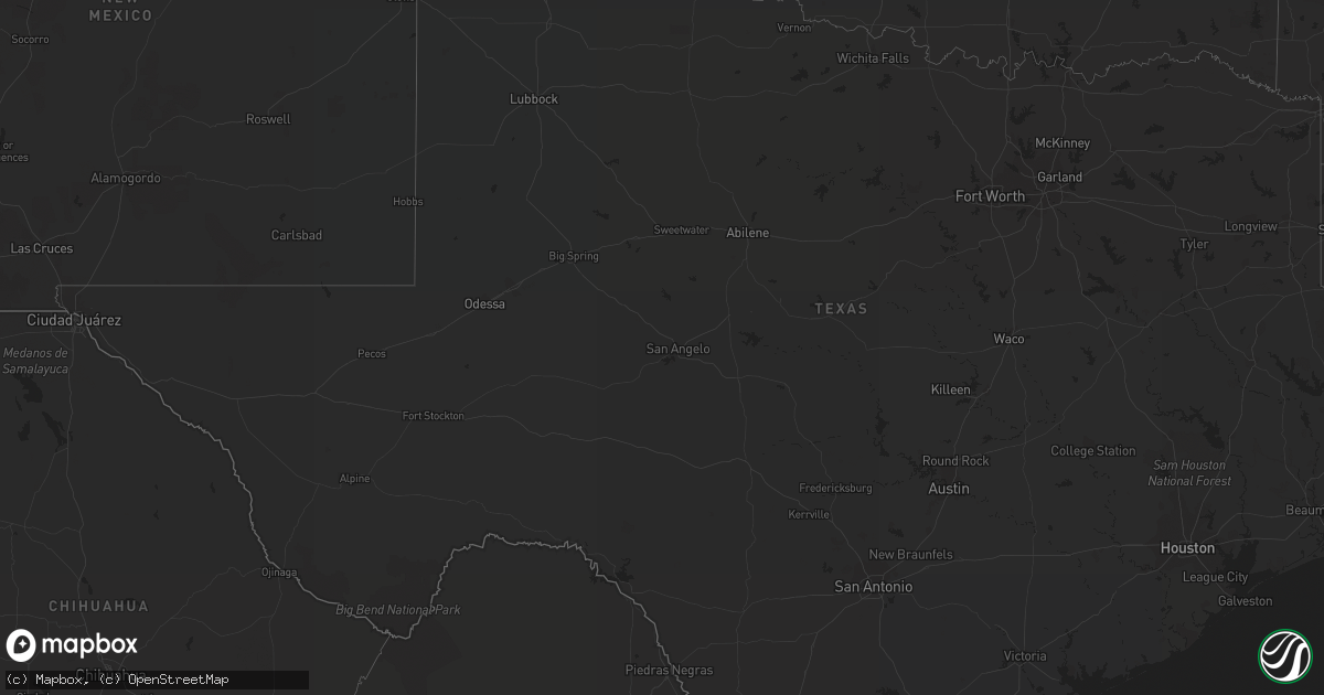
Hail Map in Florida on September 30, 2018
Get this storm
September 30 map
$229
one time, instant access
Download today. No call, no setup
Keep the $229
Bought the map and want the full workflow? Apply the entire $229 to a subscription within 7 days. None of it is wasted.
Every map, not just this one
This buys you this map. Subscription and you get every map we run, in the markets you choose from a few cities to whole states to nationwide. Plus real-time alerts the moment a storm fires.
Contact data
Name, contact info, occupancy, even credit band for addresses in the footprint. You go from where it hit to who to call.
Become the source they trust
Unlimited branding weather history reports on demand. You already have the documented answer ready for the property owner, and you are the one who showed up with it.
Property data and RoofTrace estimates
Pull up any address you have got, its value and the exact code rules for that jurisdiction, straight from One Click Code. Then RoofTrace estimates the squares, pitch, and roof value, priced the way you price.
Storm reports in Florida
Florida
| Date | Description |
|---|---|
| 09/30/20183:14 PM CDT | Several trees down in panama city. Multiple power lines down. Time estimated by radar. Nickel size hail also reported north of downtown on us-231. |
| 09/30/20183:12 PM CDT | Damage to fencing in the forest park area reported via social media. |
| 09/30/20183:10 PM CDT | Fences and trees blown down in the bylsma manor area. Reported via social media. |
| 09/30/20183:08 PM CDT | Multiple trees down in a pasture off nadine road. One tree fell on a fence. Report via social media. |
| 09/30/20183:07 PM CDT | 6 trees down on a property off john pitts road in the bayou george area. Report via social media with video. |
| 09/29/201810:04 PM CDT | At 303 PM CDT, a severe thunderstorm was located near Springfield, or near Callaway, moving southwest at 10 mph. HAZARD...60 mph wind gusts and penny size hail. SOURCE...Radar indicated. IMPACT...Expect damage to roofs, siding, and trees. Locations impacted include... Panama City, Lynn Haven, Callaway, Springfield, Hiland Park, Tyndall Air Force Base, Parker, Magnolia Beach, Cedar Grove, Dirego Park, Beacon Beach, Bay Harbor, College Station, Bayou George, Brannonville and Millville. |


