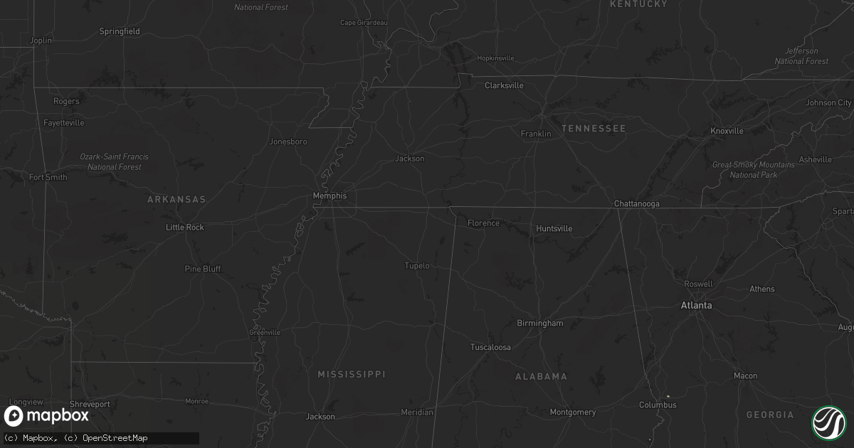
Hail Map in Louisiana on September 28, 2011
Get this storm
September 28 map
$229
one time, instant access
Download today. No call, no setup
Keep the $229
Bought the map and want the full workflow? Apply the entire $229 to a subscription within 7 days. None of it is wasted.
Every map, not just this one
This buys you this map. Subscription and you get every map we run, in the markets you choose from a few cities to whole states to nationwide. Plus real-time alerts the moment a storm fires.
Contact data
Name, contact info, occupancy, even credit band for addresses in the footprint. You go from where it hit to who to call.
Become the source they trust
Unlimited branding weather history reports on demand. You already have the documented answer ready for the property owner, and you are the one who showed up with it.
Property data and RoofTrace estimates
Pull up any address you have got, its value and the exact code rules for that jurisdiction, straight from One Click Code. Then RoofTrace estimates the squares, pitch, and roof value, priced the way you price.
Storm reports in Louisiana
Louisiana
| Date | Description |
|---|---|
| 09/28/20116:40 PM CDT | Nickel to marble-sized hail reported in pineville. |
| 09/28/20116:28 PM CDT | Nickel to marble-sized hail reported in pineville. |
| 09/28/20116:00 PM CDT | A local report indicates 1.00 inch wind near NATCHEZ |
| 09/28/20113:35 PM CDT | Hammond awos recorded a wind gust of 67 mph. |
| 09/28/20113:30 PM CDT | Wind driven hail broke car windows |
| 09/28/20113:27 PM CDT | Numerous golf ball and a few hail stones as large as 2 inches in diameter. Estimated by video. |
| 09/28/20113:25 PM CDT | In the town of central greenwell springs quarter sized hail was reported and hail was beginning to accumulate on the grass. |
| 09/28/20112:06 PM CDT | Quarter size hail fell rayburn correctional institute along highway 21 north of varnado. Nickel size hail was still falling. |
| 09/28/201112:38 AM CDT | A local report indicates 1.75 inch wind near OBERLIN |
| 09/27/20117:45 PM CDT | Dime to quarter-sized hail |
| 09/27/20117:45 PM CDT | Dime to quarter-sized hail |
| 09/27/20117:05 PM CDT | Dime size hail grew to quarter size hail. |
| 09/27/20117:05 PM CDT | Dime size hail grew to marble size. |
All States Impacted by Hail Map on September 28, 2011
Cities Impacted by Hail Map on September 28, 2011
- Hershey, PA
- Hummelstown, PA
- Middletown, PA
- Elizabethtown, PA
- Barnwell, SC
- Ethel, LA
- Midland, GA
- Branchville, SC
- Baton Rouge, LA
- Greenwell Springs, LA
- Fort Polk, LA
- Harleyville, SC
- Bunkie, LA
- Washington, LA
- Moss Point, MS
- Lucedale, MS
- Mobile, AL
- Wilmer, AL
- Amite, LA
- Independence, LA
- Uvalde, TX
- Washington, NC
- Oakdale, LA
- Geismar, LA
- Kenansville, NC
- Warsaw, NC
- Trenton, NC
- Richlands, NC
- Burgaw, NC
- Rocky Point, NC
- Robert Lee, TX
- Sterling City, TX
- Melville, LA
- Plaucheville, LA
- Batchelor, LA
- Lettsworth, LA
- Simmesport, LA
- Palmetto, LA
- Uriah, AL
- Cheneyville, LA
- Iota, LA
- Saint Landry, LA
- Jennings, LA
- Oberlin, LA
- Elton, LA
- Elizabeth, LA
- Ville Platte, LA
- Grant, LA
- Forest Hill, LA
- Glenmora, LA
- Mittie, LA
- Dry Creek, LA
- Morrow, LA
- Evergreen, LA
- Eunice, LA
- Sugartown, LA
- Pitkin, LA
- Basile, LA
- Leesville, LA
- Deridder, LA
- Mamou, LA
- Kinder, LA
- Roscoe, TX
- Mount Vernon, AL
- Lumberton, MS
- Virginia Beach, VA
- Angie, LA
- Reeves, LA
- Rayne, LA
- Rocksprings, TX
- Jonesville, LA
- Marksville, LA
- Boyce, LA
- Elmer, LA
- Abita Springs, LA
- Covington, LA
- Greenville, NC
- Franklin, VA
- Fredericksburg, PA
- Grantville, PA
- Pine Grove, PA
- Jonestown, PA
- Annville, PA
- Georgetown, SC
- Rose Hill, NC
- Teachey, NC
- Creswell, NC
- Roper, NC
- Elizabeth City, NC
- Belvidere, NC
- Columbia, NC
- South Mills, NC
- Hertford, NC
- Evergreen, AL
- Andalusia, AL
- Red Level, AL
- Concan, TX
- Dorchester, SC
- Saint Francisville, LA
- Eden, TX
- Alexandria, LA
- Hookerton, NC
- Kinston, NC
- Ayden, NC
- Grifton, NC
- Saint Augustine, FL
- Perkinston, MS
- Smoaks, SC
- Bath, NC
- Blounts Creek, NC
- Magnolia, MS
- Tylertown, MS
- Franklinton, LA
- Mount Hermon, LA
- Tabor City, NC
- Milton, FL
- Folsom, LA
- Bogalusa, LA
- Denham Springs, LA
- Pride, LA
- Baker, LA
- Walker, LA
- Livingston, LA
- Martin, SC
- Lottie, LA
- Maringouin, LA
- Sabinal, TX
- Monroeville, AL
- Vredenburgh, AL
- Blackville, SC
- Loxley, AL
- Bethel, NC
- Robersonville, NC
- Del Rio, TX
- Erwinville, LA
- Glynn, LA
- Zachary, LA
- Grand Bay, AL
- Brooklyn, MS
- Woodville, MS
- Chatom, AL
- Millry, AL
- Lacassine, LA
- Arnaudville, LA
- Rio Frio, TX
- Leakey, TX
- Saint Martinville, LA
- Breaux Bridge, LA
- Bamberg, SC
- Wiggins, MS
- De Leon Springs, FL
- Pierson, FL
- Deland, FL
- Birdsboro, PA
- Morgantown, PA
- Douglassville, PA
- Honey Brook, PA
- Elverson, PA
- Coatesville, PA
- Portsmouth, VA
- Suffolk, VA
- Moreauville, LA
- Holden, LA
- Albany, LA
- Hammond, LA
- Paint Rock, TX
- Beatrice, AL
- Atmore, AL
- Perdido, AL
- Stockton, AL
- Little River, AL
- Norwood, LA
- Opelousas, LA
- Menard, TX
- Maryneal, TX
- New Iberia, LA
- Holt, FL
- Laurel Hill, FL
- Windsor, VA
- Zuni, VA
- Loranger, LA
- Sandy Hook, MS
- Foxworth, MS
- Mccomb, MS
- Bush, LA
- Osyka, MS
- Columbia, MS
- Poplarville, MS
- Kentwood, LA
- Kokomo, MS
- Lacombe, LA
- Erath, LA
- Meadville, MS
- Liberty, MS
- Smithdale, MS
- Chadbourn, NC
- Clarendon, NC
- Tarboro, NC
- Plymouth, NC
- Pinetown, NC
- Pantego, NC
- Loris, SC
- Baker, FL
- Williamston, NC
- Hallsboro, NC
- Lake Waccamaw, NC
- Aynor, SC
- Longs, SC
- Conway, SC
- Nakina, NC
- Ash, NC
- Chesapeake, VA
- Lena, LA
- Cloutierville, LA
- Roosevelt, TX
- Sonora, TX
- State Line, MS
- Biloxi, MS
- Saucier, MS
- Brackettville, TX
- Whiteville, NC
- Carrsville, VA
- New Cumberland, PA
- Harrisburg, PA
- Pottsville, PA
- Schuylkill Haven, PA
- Minersville, PA
- Mar Lin, PA
- Livonia, LA
- Oscar, LA
- Fordoche, LA
- Rosedale, LA
- Grosse Tete, LA
- Port Allen, LA
- Lakeland, LA
- Supply, NC
- Barksdale, TX
- Welsh, LA
- Roanoke, LA
- Ragley, LA
- Utopia, TX
- Reevesville, SC
- Saint George, SC
- Pollock, LA
- Iowa, LA
- Lake Arthur, LA
- Bell City, LA
- Comstock, TX
- Seven Springs, NC
- La Grange, NC
- Albertson, NC
- Brewton, AL
- Norfolk, VA
- Centreville, MS
- Slaughter, LA
- Clinton, LA
- Ventress, LA
- New Roads, LA
- Carriere, MS
- New Ringgold, PA
- Tamaqua, PA
- Pineville, LA
- Dozier, AL
- McKenzie, AL
- McIntosh, AL
- Vanceboro, NC
- Pine Apple, AL
- Abbeville, LA
- Windsor, NC
- Citronelle, AL
- Natchez, MS
- Jackson, AL
- Greensburg, LA
- Boyertown, PA
- Bechtelsville, PA
- Repton, AL
- Lenox, AL
- Belle Chasse, LA
- Raeford, NC
- Port Barre, LA
- Pawleys Island, SC
- Ozona, TX
- Carrollton, VA
- Madisonville, LA
- Ponchatoula, LA
- Cameron, LA
- Smithfield, VA
- Sumrall, MS
- Robert, LA
- Port Bolivar, TX
- Berwick, PA
- Nescopeck, PA
- Vancleave, MS
- Flatwoods, LA
- Orlando, FL
- Altamonte Springs, FL
- Saint Gabriel, LA
- Carville, LA
- Jackson, LA
- Castleberry, AL
- Pottstown, PA
- Beulaville, NC
- Monterey, LA
- Eglin Afb, FL
- Wallace, NC
- Vidalia, LA
- Gloster, MS
- Crosby, MS
- Springfield, LA
- Tickfaw, LA
- Natchez, LA
- Melrose, LA
- Currie, NC
- Sunflower, AL
- Wagarville, AL
- Mount Olive, NC
- McLain, MS
- Maple Hill, NC
- Defuniak Springs, FL
- Kaplan, LA
- Mandeville, LA
- Wakefield, VA
- Deville, LA
- Bronson, TX
- Enola, PA
- Camp Hill, PA
- Chester Springs, PA
- Wing, AL
- Hurlburt Field, FL
- Fort Walton Beach, FL
- Shalimar, FL
- Range, AL
- Ball, LA
- Ocean Springs, MS
- Robeline, LA
- Natchitoches, LA
- Grove Hill, AL
- Fountain, NC
- Center Point, LA
- Effie, LA
- McHenry, MS
- Beaumont, MS
- Lecompte, LA
- Eldorado, TX
- Mardela Springs, MD
- Crestview, FL
- Mountain Home, TX
- Kempton, PA
- Gainestown, AL
- Frisco City, AL
- New Orleans, LA
- Blackwell, TX
- Bay Minette, AL
- Diberville, MS
- Leland, NC
- Monticello, MS
- Jayess, MS
- Dover, NC
- York Haven, PA
- Grimesland, NC
- Stokes, NC
- Belhaven, NC
- Chocowinity, NC
- Edward, NC
- Aurora, NC
- Awendaw, SC
- Courtland, VA
- Plaquemine, LA
- Pineland, TX
- Eufaula, AL
- Holly Hill, SC
- Galivants Ferry, SC
- Winterville, NC
- Palmyra, PA
- Ashland, PA
- Hegins, PA
- Wilburton, PA
- Florala, AL
- Green Sea, SC
- Nichols, SC
- Merry Hill, NC
- Chinquapin, NC
- Edenton, NC
- Leroy, AL
- Saint Stephens, AL
- Broussard, LA
- Addis, LA
- Brusly, LA
- Sullivans Island, SC
- Isle Of Palms, SC
- Pearl River, LA
- Picayune, MS
- Nesquehoning, PA
- Lansford, PA
- Summit Hill, PA
- Camp Wood, TX
- Opp, AL
- Bolton, NC
- Pink Hill, NC
- Bowman, SC


