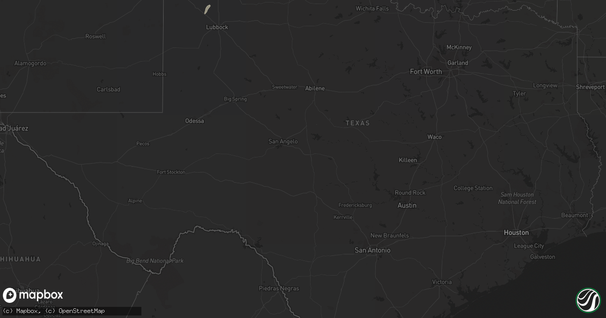
Hail Map in Texas on September 27, 2013
Get this storm
September 27 map
$229
one time, instant access
Download today. No call, no setup
Keep the $229
Bought the map and want the full workflow? Apply the entire $229 to a subscription within 7 days. None of it is wasted.
Every map, not just this one
This buys you this map. Subscription and you get every map we run, in the markets you choose from a few cities to whole states to nationwide. Plus real-time alerts the moment a storm fires.
Contact data
Name, contact info, occupancy, even credit band for addresses in the footprint. You go from where it hit to who to call.
Become the source they trust
Unlimited branding weather history reports on demand. You already have the documented answer ready for the property owner, and you are the one who showed up with it.
Property data and RoofTrace estimates
Pull up any address you have got, its value and the exact code rules for that jurisdiction, straight from One Click Code. Then RoofTrace estimates the squares, pitch, and roof value, priced the way you price.
Storm reports in Texas
Texas
| Date | Description |
|---|---|
| 09/27/20136:10 PM CDT | West texas meosnet report |
| 09/27/20135:50 PM CDT | A local report indicates 69 MPH wind near 7 NNW TULIA |
| 09/27/20135:41 PM CDT | A local report indicates 65 MPH wind near 3 NNE WAYSIDE |
| 09/27/20135:20 PM CDT | Numerous power poles down along and near interstate 27 |
| 09/27/20135:09 PM CDT | A local report indicates 69 MPH wind near 7 NNW TULIA |
| 09/26/201310:11 PM CDT | Tree down on highway 83 |
| 09/26/20137:59 PM CDT | Large tree blocking the road for the ramp to interstate 40. |
| 09/26/20137:50 PM CDT | A local report indicates 58 MPH wind near 2 WSW CLARENDON |
Cities Impacted by Hail Map on September 27, 2013
- Happy, TX
- Tulia, TX
- Norton, KS
- Oberlin, KS
- Dresden, KS
- Wilsonville, NE
- Edison, NE
- Hendley, NE
- Oxford, NE
- Norcatur, KS
- Jennings, KS
- Beaver City, NE
- Miami, TX
- Sublette, KS
- Culbertson, NE
- Crawford, OK
- Balko, OK
- Laverne, OK
- Rosston, OK
- Buffalo, OK
- Ashland, KS
- Satanta, KS
- Copeland, KS
- Garden City, KS
- Liberal, KS
- Herndon, KS
- Atwood, KS
- Perryton, TX
- Booker, TX
- Wheeler, TX
- Clarendon, TX
- Mclean, TX
- Shamrock, TX
- Winona, KS
- Leoti, KS
- Stinnett, TX
- Borger, TX
- Pampa, TX
- Hedley, TX
- McCook, NE
- Groom, TX
- Leedey, OK
- Indianola, NE
- Arnett, OK
- Dodge City, KS
- Canadian, TX
- Claude, TX
- Mobeetie, TX
- Monument, KS
- Lelia Lake, TX
- Anton, TX
- Abernathy, TX
- Littlefield, TX
- Arapahoe, NE
- Mutual, OK
- Pierceville, KS


