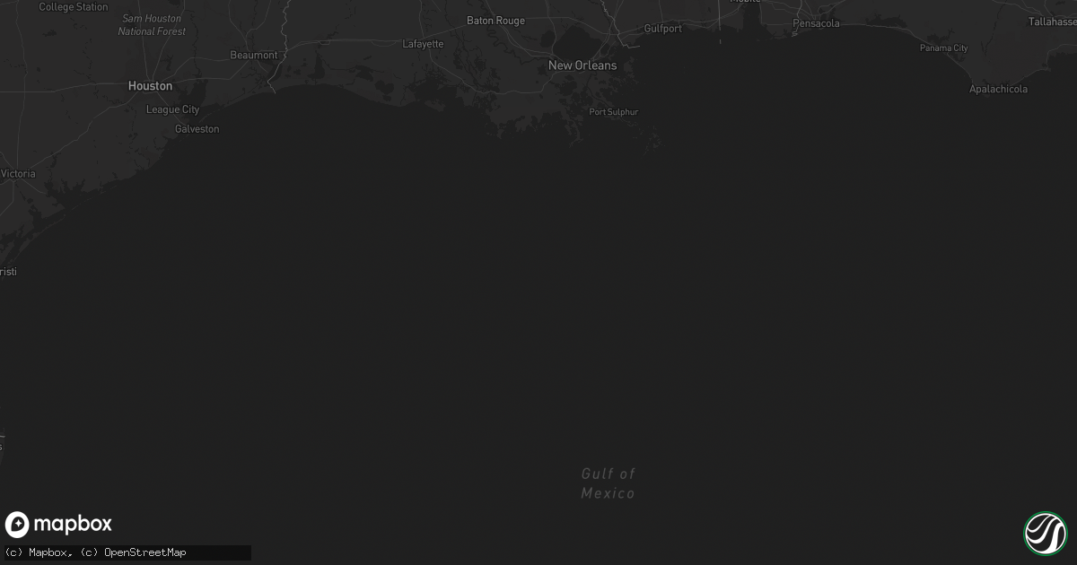
Hail Map in Texas on September 19, 2011
Get this storm
September 19 map
$229
one time, instant access
Download today. No call, no setup
Keep the $229
Bought the map and want the full workflow? Apply the entire $229 to a subscription within 7 days. None of it is wasted.
Every map, not just this one
This buys you this map. Subscription and you get every map we run, in the markets you choose from a few cities to whole states to nationwide. Plus real-time alerts the moment a storm fires.
Contact data
Name, contact info, occupancy, even credit band for addresses in the footprint. You go from where it hit to who to call.
Become the source they trust
Unlimited branding weather history reports on demand. You already have the documented answer ready for the property owner, and you are the one who showed up with it.
Property data and RoofTrace estimates
Pull up any address you have got, its value and the exact code rules for that jurisdiction, straight from One Click Code. Then RoofTrace estimates the squares, pitch, and roof value, priced the way you price.
Storm reports in Texas
Texas
| Date | Description |
|---|---|
| 09/19/20115:49 PM CDT | Powerpole snapped between banquete and robstown just of highway 44. Wood fences and metal shed also damaged in the area. |
| 09/19/20115:49 PM CDT | Live powerlines down in banquete. |
| 09/19/20115:40 PM CDT | Numerous wires down and one power pole down near cr 44 and cr 81. |
| 09/19/20115:30 PM CDT | Large tree down and laying across roadway at cr 73 near calallen. |


