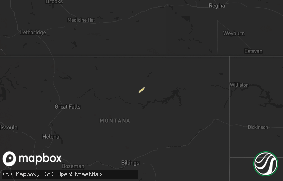
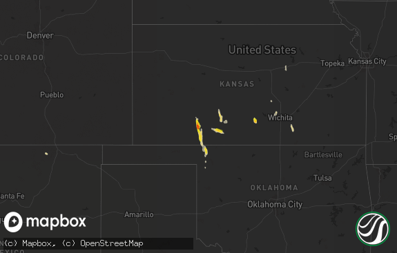
Hail Map in North Dakota on September 11, 2018
The weather event in North Dakota on September 11, 2018 includes Hail map. 8 states and 28 cities were impacted and suffered possible damage. The total estimated number of properties impacted is 178.

Hail
178
Estimated number of impacted properties by a 1.00" hail or larger0
Estimated number of impacted properties by a 1.75" hail or larger0
Estimated number of impacted properties by a 2.50" hail or largerStorm reports in North Dakota
North Dakota
| Date | Description |
|---|---|
| 09/11/20186:30 PM CDT | A local report indicates 1.00 inch wind near 2 ENE MINTO |
| 09/11/20185:55 PM CDT | A local report indicates 1.25 inch wind near 4 SE PISEK |
| 09/11/20185:45 PM CDT | Gusty winds and heavy rains accompanied the hail. |
| 09/11/20181:26 AM CDT | At 626 PM CDT, a severe thunderstorm was located over Minto, or 8 miles south of Grafton, moving east at 35 mph. HAZARD...60 mph wind gusts and quarter size hail. SOURCE...Radar indicated. IMPACT...Hail damage to vehicles is expected. Expect wind damage to roofs, siding, and trees. This severe thunderstorm will be near... Warsaw around 630 PM CDT. Big Woods around 645 PM CDT. Argyle and Stephen around 705 PM CDT. Florian around 725 PM CDT.This includes Interstate 29 between mile markers 163 and 177. |
| 09/11/201812:32 AM CDT | At 532 PM CDT, a severe thunderstorm was located over Fordville, or 24 miles southwest of Grafton, moving east at 20 mph. HAZARD...60 mph wind gusts and quarter size hail. SOURCE...Radar indicated. IMPACT...Hail damage to vehicles is expected. Expect wind damage to roofs, siding, and trees. This severe thunderstorm will be near... Fordville around 540 PM CDT. Forest River Colony around 550 PM CDT. Conway, Pisek and Inkster around 555 PM CDT. Veseleyville around 615 PM CDT. Forest River around 620 PM CDT. |
All States Impacted by Hail Map on September 11, 2018
Cities Impacted by Hail Map on September 11, 2018
- Stephen, MN
- McBee, SC
- Pisek, ND
- Fordville, ND
- Karlstad, MN
- Strandquist, MN
- Valentine, NE
- Dahlen, ND
- Forest River, ND
- Minto, ND
- Grafton, ND
- Argyle, MN
- Viking, MN
- Warren, MN
- Hyannis, NE
- Petersburg, ND
- Michigan, ND
- Drayton, ND
- Saint Francis, SD
- Cape Coral, FL
- Annandale, MN
- Axson, GA
- Greenbush, MN
- Halma, MN
- Hartsville, SC
- Lillington, NC
- Thedford, NE
- Newfolden, MN


