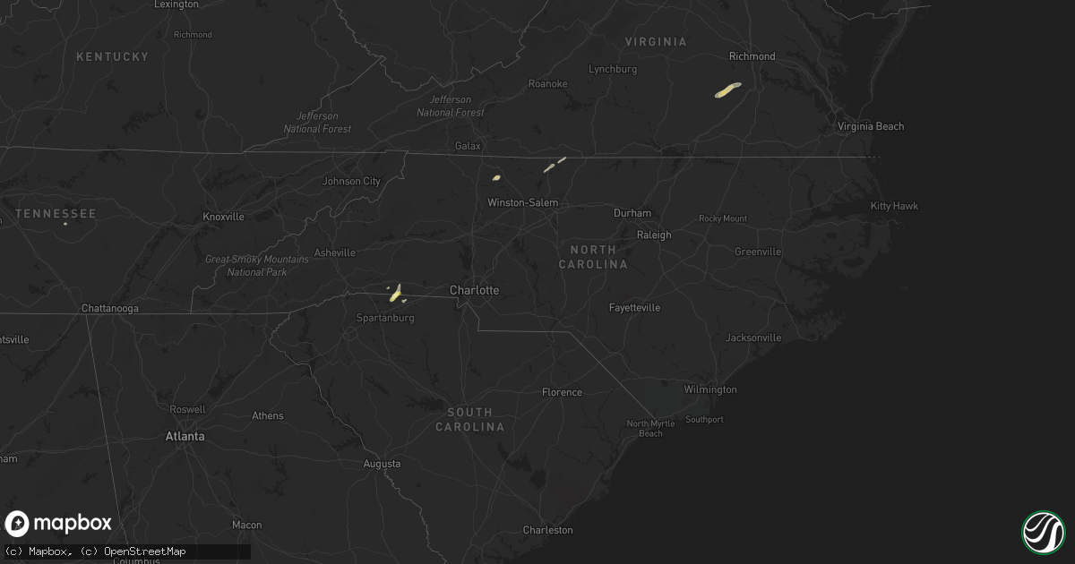
Hail Map in North Carolina on September 11, 2015
Get this storm
September 11 map
$229
one time, instant access
Download today. No call, no setup
Keep the $229
Bought the map and want the full workflow? Apply the entire $229 to a subscription within 7 days. None of it is wasted.
Every map, not just this one
This buys you this map. Subscription and you get every map we run, in the markets you choose from a few cities to whole states to nationwide. Plus real-time alerts the moment a storm fires.
Contact data
Name, contact info, occupancy, even credit band for addresses in the footprint. You go from where it hit to who to call.
Become the source they trust
Unlimited branding weather history reports on demand. You already have the documented answer ready for the property owner, and you are the one who showed up with it.
Property data and RoofTrace estimates
Pull up any address you have got, its value and the exact code rules for that jurisdiction, straight from One Click Code. Then RoofTrace estimates the squares, pitch, and roof value, priced the way you price.
Storm reports in North Carolina
North Carolina
| Date | Description |
|---|---|
| 09/11/20156:31 PM CDT | Trees down on hines rd. Time estimated from radar. |
| 09/11/20152:20 AM CDT | Tree down blocking madison rd both directions. Time radar estimated. |
| 09/11/20152:18 AM CDT | Tree fell on a company vehicle causing damage. Time radar estimated. |
| 09/11/201512:30 AM CDT | Several trees and power lines down. Old barn type structure down. Two mile damage path from a downburst. |
All States Impacted by Hail Map on September 11, 2015
Cities Impacted by Hail Map on September 11, 2015
- Haskell, TX
- Ethelsville, AL
- Siloam, NC
- Pilot Mountain, NC
- Blackstone, VA
- Ford, VA
- Wilsons, VA
- Church Road, VA
- Sutherland, VA
- Millport, AL
- Steens, MS
- Columbus, MS
- Woodson, TX
- Albany, TX
- Tallulah, LA
- Delhi, LA
- Winnsboro, LA
- Throckmorton, TX
- Newcastle, TX
- Reform, AL
- Petersburg, VA
- Natchitoches, LA
- Lake Placid, FL
- Coushatta, LA
- Dalhart, TX
- Mooresboro, NC
- Gaffney, SC
- Chesnee, SC
- Friona, TX
- Olla, LA
- Scotts Hill, TN
- Decaturville, TN
- Lexington, TN
- Darden, TN
- Breckenridge, TX
- New Concord, KY
- Pinnacle, NC
- Ararat, NC
- Dobson, NC
- Florence, AL
- Waterloo, AL
- Amory, MS
- Nettleton, MS
- Indiantown, FL
- Plain City, OH
- Dublin, OH
- Jackson, TN
- Medina, TN
- Bath Springs, TN
- Shaw, MS
- Hartley, TX
- Eden, NC
- Canal Point, FL
- Bovina, TX
- Venus, FL
- Smithville, TN
- Madison, NC
- Stoneville, NC
- Mayodan, NC
- Campti, LA
- Robeline, LA
- Okolona, MS
- Aberdeen, MS
- Tularosa, NM
- Moran, TX
- Okeechobee, FL
- Sondheimer, LA
- Converse, LA
- Noble, LA
- Cowpens, SC
- Rutherfordton, NC
- Canton, MS


